
Last weekend’s fall color outing on Genoa Peak Road was just the tip of the iceberg for us this season. Today’s adventure brought us farther outside the Tahoe Basin, down to Lobdell Lake.
We headed south on Hwy 395 and jumped on Burcham Flat Road, which turns into a gravel forest road that winds through pinyon trees, transitioning to high alpine with large Jeffrey and ponderosa pines.


Lobdell Lake Road
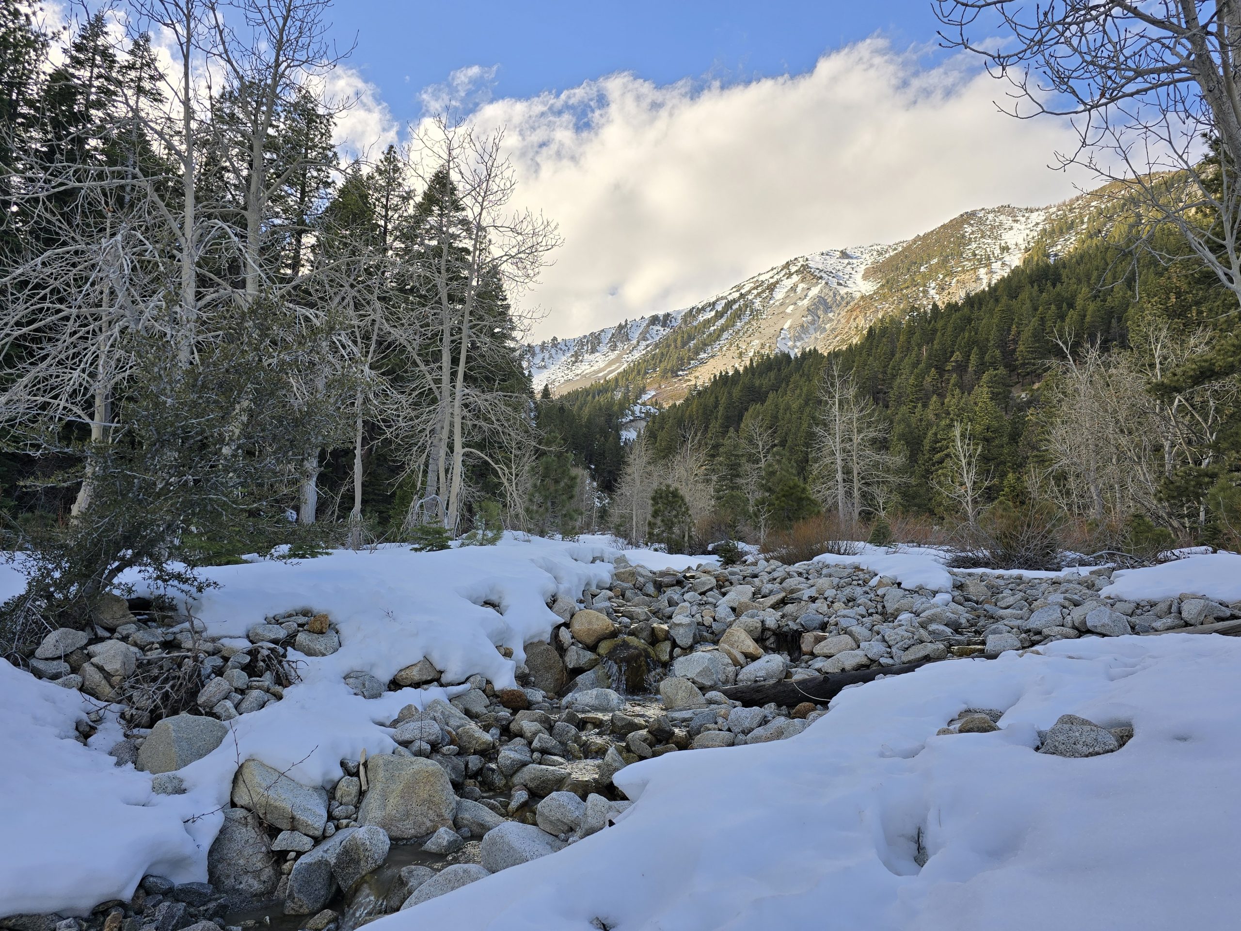
After traveling a ways on the forest road, turning onto Lobdell Lake Road, then we got our first glimpses of some fall colors. So, we pulled off, parked next to a Subaru with Oregon plates, and explored the surrounding aspen groves.

Most of the time in the Sierra, we only see pockets of golden yellow aspen leaves in the fall, so it’s always a treat when we come across anything orange or red.


As I was wandering around the rock piles, taking photos of the trees, I could hear my husband talking to someone (surprise!) down by where we parked the Jeep.
The Subaru owners from Oregon. 😂
They were a friendly couple who used to live in the Tahoe area, and my husband was talking with the man about an upcoming hike we were planning in Desolation Wilderness. Then before we departed, they gave us a tip about an especially pretty area just down the road from where we’d parked, so we headed there next.
I was in awe.
We walked through the meadowy marsh and found large groves of golden aspens.

I could hear water somewhere, so I followed the sound.

Absolutely picturesque!

I haven’t come in contact with a stinging nettle in many, many years, but somehow, I bumped into one along this creek and it must have penetrated the leg of my hiking pant and bypassed my sock because I felt the sting. It wasn’t crazy uncomfortable, but definitely noticeable.
I will probably never forget the first time I ever got stung by nettles. I was probably 6 years old, playing with my brother and cousins outside at my grandparents’ house. The ball we were hitting around the yard landed in a taller brush area, and I thought nothing of sticking both hands in to retrieve it.
Moments later, my hands were burning and stinging and I had no idea why or what happened. I ran into the house, and I think my grandma soaked my hands in the bathroom sink (possibly with baking soda? or some other kind of “homeopathic” concoction) until the stinging subsided. So, that was how I learned what nettles were, what they looked like, and to stay away from them. Although not as ravaging as a poison ivy rash, it’s still something I try to keep an eye out for in nature. Well, this day, I wasn’t on the lookout for nettles, and it burned me. 😂
I was loving this scene so much I couldn’t help but continue to walk along this flowing creek and take more photos.


I also came across another crime scene.


After basking in the meadow for a bit, we found our way back to the Jeep and continued on the forest road. I didn’t know this next adventure was part of the plan for the day until we were already doing it.
Mt. Patterson

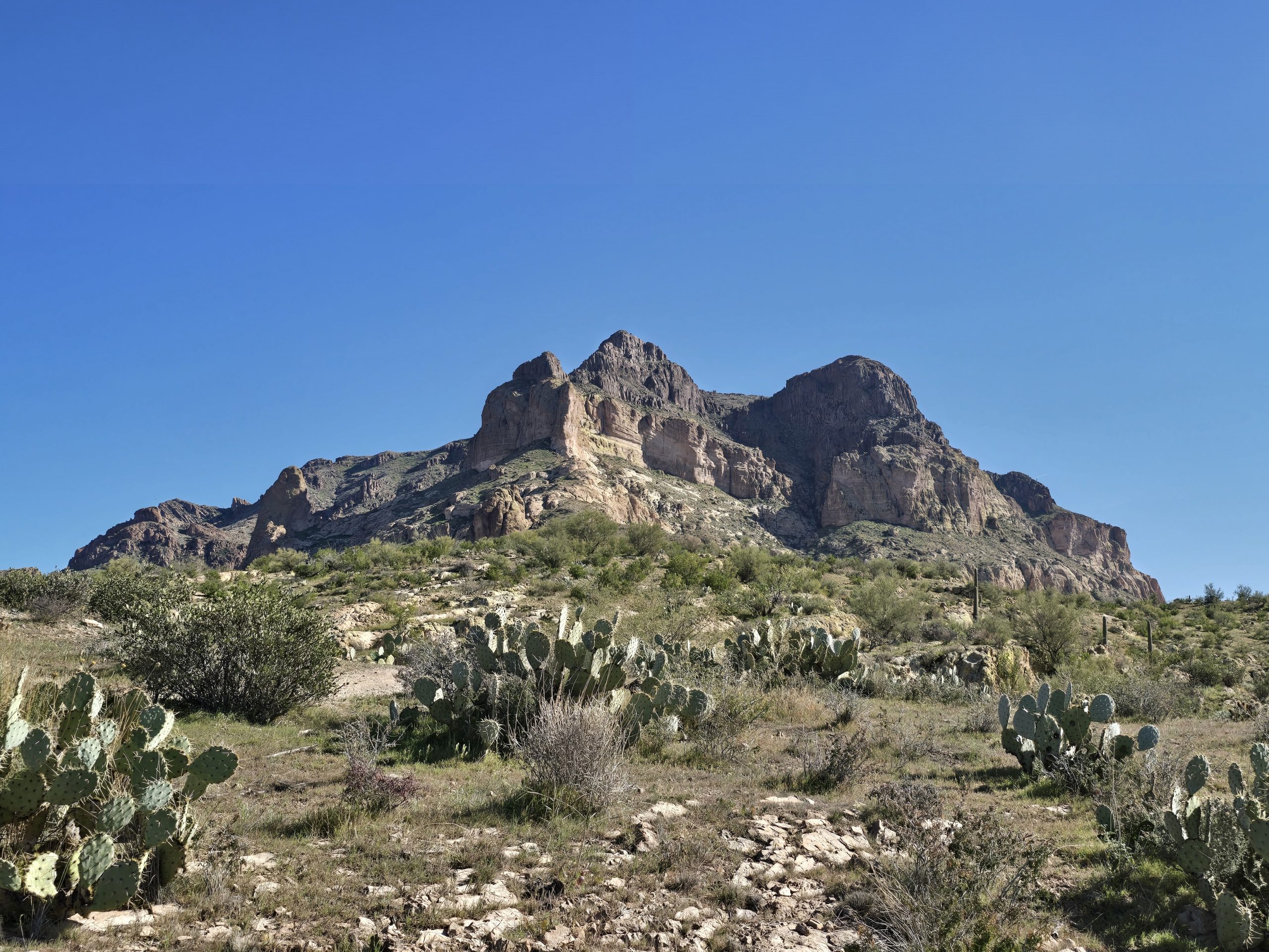
At 11,654 ft., Mt. Patterson is the highest peak in California outside of the Sierra Nevada mountain range. It is part of the Sweetwater Mountain range, which is comprised of a mix of volcanic and plutonic rocks. What might look like snow from a distance on top of Mt. Patterson is white rhyolite – at least, this time of year it is not snow.
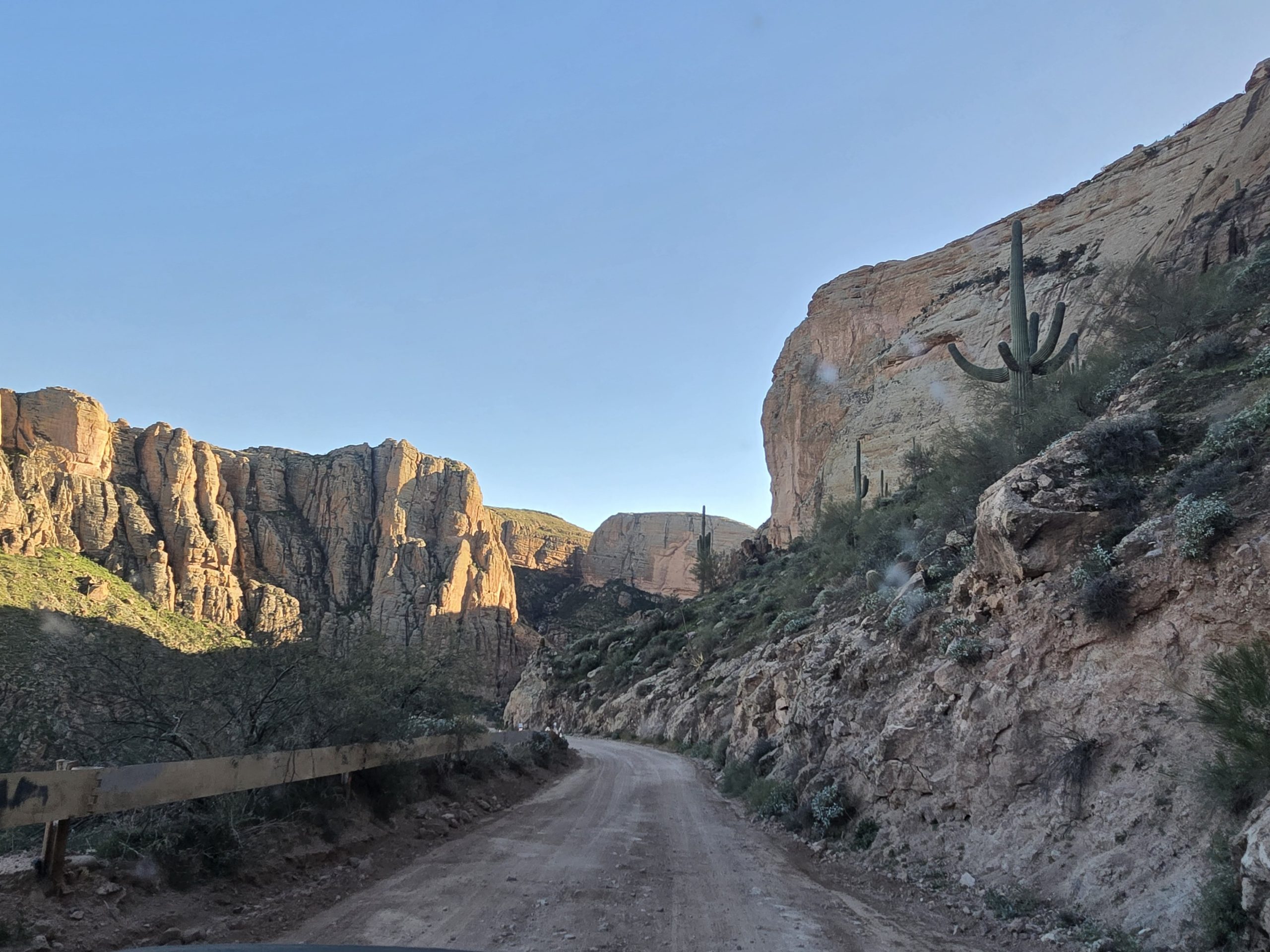
The Jeep road to Mt. Patterson was mostly rocky washout with some steep and rocky sections and a few tight and steep hairpin turns. It was bumpy and relatively slow going. Let’s just say I was glad we had our 2-door Jeep – rugged tires, short wheel base, and lots of ground clearance.
Le Boeuf
Not long in, we came across this magnificent beast. My husband referred to him as “the gatekeeper.”

Don’t be fooled by his obviously joyful disposition; I am pretty sure, given the chance, this Charolais bull wanted to kill us. It must have been our lucky day, as the gatekeeper allowed us to pass.
Being a French bovine breed, we’ve since nicknamed him “Le Boeuf,” which is French for “the beef.” Which also reminds me of the Wendy’s commercials from the 1980s – “Where’s the beef?”
For size context, a mature Charolais bull weighs between 2,200-3,600 pounds and stands 53-57 inches tall. So, not exactly something you want to mess with.
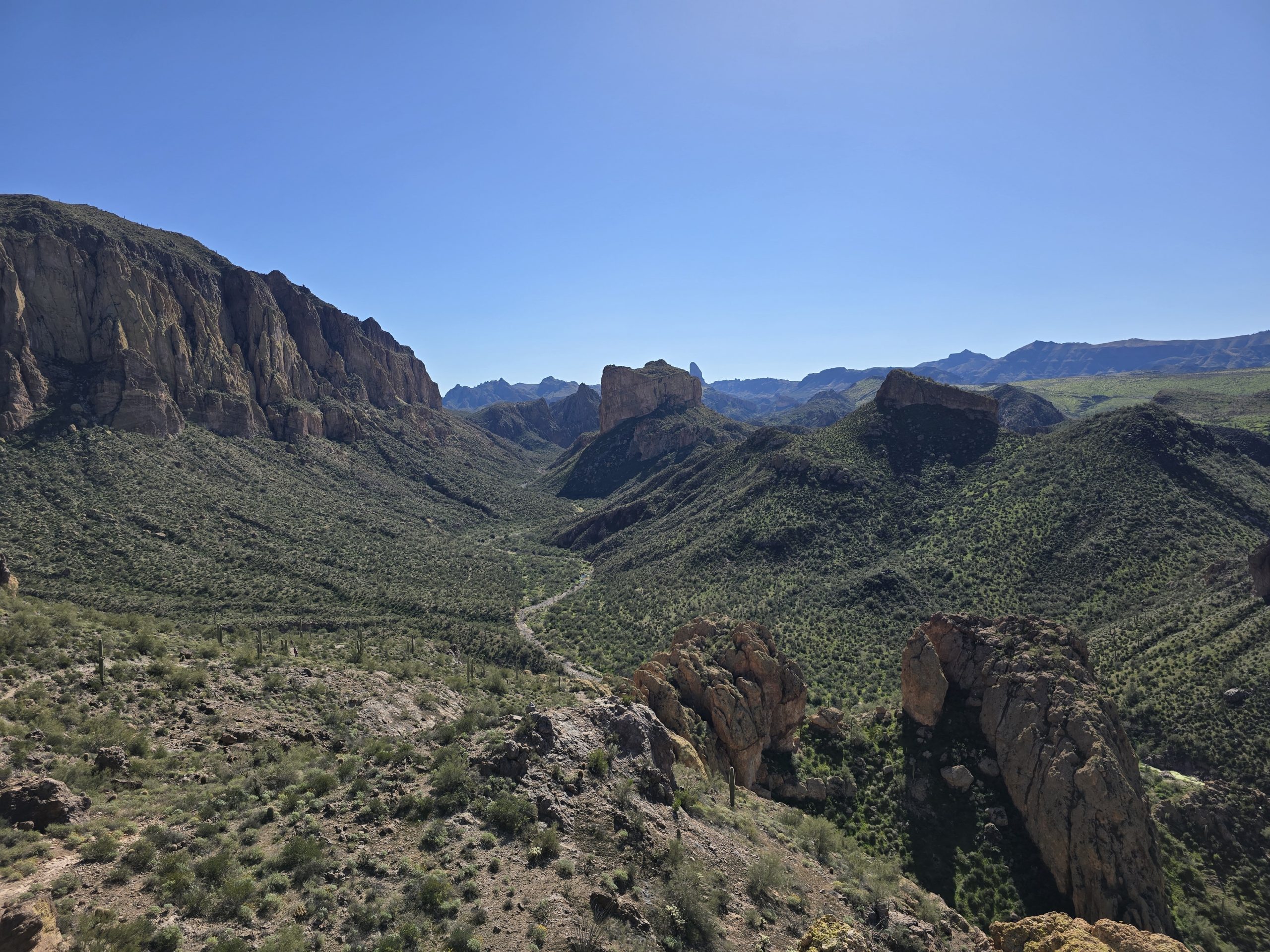
The terrain in this early part of the route was great and the views were interesting. But it got rockier and bumpier and steeper.

In one particular steep and rocky section that was leading up to a tight hairpin corner, we came up on a group of 3 dirt-bikers, and one of the riders was struggling to get his motorcycle up the steep, rocky grade. Another one of his buddies was on foot, coaching him along.
When we all reached the rocky hairpin corner up ahead, the riders pulled off to the side opposite the turn and let us proceed. To the surprise of both my husband and me, the Jeep made the tight and steep turn over large rocks in a single attempt without issue and off we went, traversing the bumpy terrain.
We climbed higher and higher in the Jeep and the views got more barren, unique, and incredible – even otherworldly.

Speaking of “otherworldly,” we then came up to this sign along the road, and all of a sudden, it made sense.

What the sign reads:
“Mars With Flowers”
Above timberline, the Sweetwater Range provides habitat for many rare plants. The rocky alpine areas, also known as “fellfields”, may appear barren, but alpine plant populations have established here. This is a place of extremes, including both the weather and growth site.
The Sweetwater Range is unique in Western North America with regard to the geologic processes that shaped it. Damage to the alpine area from vehicles can take years, even a lifetime to restore.
Please enjoy the rugged grandeur of this area and the timeless beauty of the alpine flora. And please, preserve these resources by traveling on designated routes. Cross-country travel is prohibited.
Then we got to this section, the final stretch to the top of Mt. Patterson.

It’s hard to capture in photos, but I took one look at the intimidating and super steep rocky route that lay ahead of us, and I said, “I’d be fine if we didn’t go up there.”
Well, we did anyway.
He put the Jeep in 4 Low and up we climbed. (You can read his Jeep account of the trip here.)

In hindsight, I am glad we did. The views were incredible.


The colors of the mountains reminded us of our time Jeeping and hiking in Colorado on California Pass.

At the top of Mt. Patterson, 2 of the dirt-bikers arrived and we got to chat with them for a bit. They told my husband they were impressed watching the Jeep navigate that tight, steep, rocky hairpin turn like it was nothing.


My husband also made a clever joke.

I wandered around taking scenic photos while my husband chatted with the dirt-bikers.


For scale, you can see a caravan of side-by-sides taking the route down to an old mining cabin.

We got back in the Jeep and got ready to make the descent. This is another route up to Mt. Patterson along the ridge that we did not take this time around. My husband wants to explore this next time.

The Jeep made its way through the sweeping switchbacks and down the steep, rocky terrain like a champ.


As we approached the bottom of this steep descent, a couple of side-by-sides were heading towards us. They stopped when they got next to us.
Looking up at the imposing stretch in front of them, the lead driver tentatively asked me, “How bad is it?” I told him it looks worse than it is and the views at the top are amazing. He then asks me if I would mind saying as much while on camera. I laughed and said sure.
Then we continued our way down the rocky Jeep road.


We stopped for some more fall colors along Lobdell Lake Road.


And then! Once we were back on Burcham Flat Road…
Something extremely cool and unexpected happened!
Sheep!
We didn’t even realize what we were seeing at first. But as we got closer… sheep! Hundreds, if not a thousand? They were guarded by donkeys and a couple of big dogs who obviously owned the road, along with a shepherd following the sheep in the rear.

In fact, a few minutes before we came upon these sheep, we saw a pick-up truck towing a small travel trailer/tiny house slowly down this deserted road. In hindsight, we figured that was part of the sheepherding operation, perhaps where the shepherd sleeps at night.
I can only recall one other time we saw a large number of sheep on one of our adventures to Bodie Ghost Town, but they weren’t being herded, and it was a fraction of the number of sheep we saw today. So, that was fun!
But our day’s adventures weren’t quite over yet. On our way home, we’d be stopping for a short and steep 2-mile hike to Emma Lake.
Hike to Emma Lake
Turning off of Hwy 395 onto Little Walker River Road, we made our way up to the trailhead for Emma Lake, parked the Jeep amongst just a couple of other vehicles, and started out on the trail, which wasted no time in ascending.
The hike wasn’t particularly notable and the wooded scenery was nice, but not incredible. The trail was relatively rocky, but not the rockiest we’ve been on. It was steep, though, from the start up to the lake, it was pretty constant uphill, so after a lot of time sitting in the Jeep today, the physical challenge felt good. I did see a lone doe on the trail on my way up, but I wasn’t able to capture it in photo or video.
We arrived at Emma Lake.


I think this is the first green lake we have seen in the hundreds of hikes we’ve done out here. So, that was unexpected. But we spotted brook trout in the lake, so it is seemingly habitable despite its green, slightly murky hue.
The descent was a bit loose and rocky in some stretches so we had to watch our footing, but we got this great view of the mountains we had just been in when we summited Mt. Patterson in the Jeep.

It was an action-packed day with lots of sightseeing, fall colors, and off-roading adventures capped off with a short hike and, of course, the sheepherding was a highlight!
Emma Lake Hike Stats

| Emma Lake | |
|---|---|
| Total Distance | 2.13 mi |
| Total Time | 1:04:21 |
| Total Ascent | 692 ft |
| Max Elevation | 9,223 ft |
Leave a Reply