
Well, this hike was a complete calamity. We were searching for lower-elevation hikes since it was still winter, and we landed on an eight-mile route up to Rock Lake via Ophir Creek Trail.
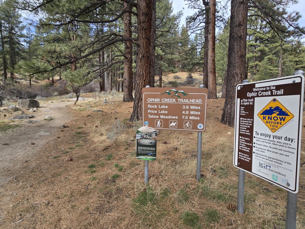
Trailhead for Ophir Creek Trail
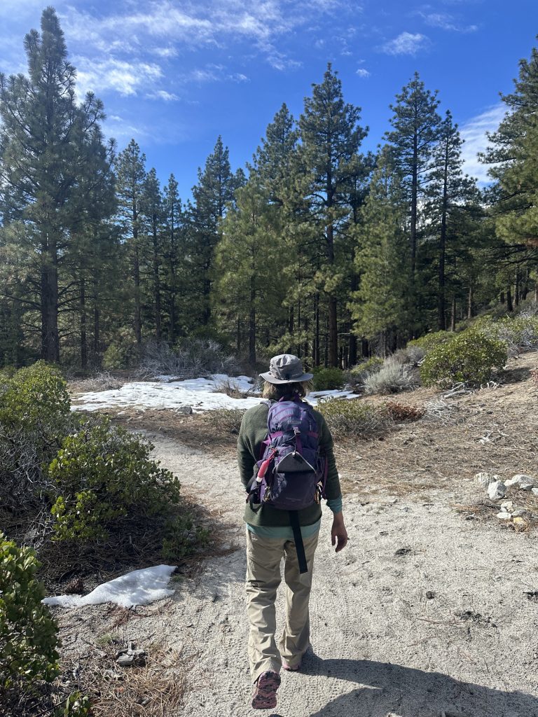
Adding our microspikes to our packs, we headed for the trailhead down in the Washoe Valley area, near Davis Creek Campground (where the infamous Davis Fire was started in September 2024).
Ophir Creek Trail goes all the way up to Tahoe Meadows on Hwy 431/Mt. Rose Hwy, a difference of over 3,300 ft in elevation gain, but we weren’t going to attempt that feat on today’s wintry hike.
Ophir Creek Canyon on Ophir Creek Trail
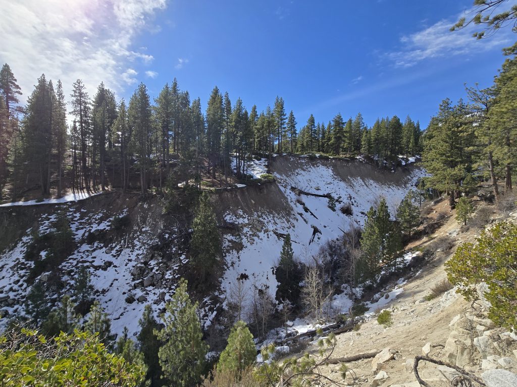
Early on in the hike, after a bit of ascending through a wooded area, we came upon a natural overlook of the dramatic canyon carved by Ophir Creek. I had no idea this was here!
Eventually, we reached a fork in the trail. We weren’t really sure if one route would be better than the other, so we picked the fork on the left and continued on. Then the trail cut through a boulder field.
After which, we arrived at a creek crossing.
Crossing Ophir Creek
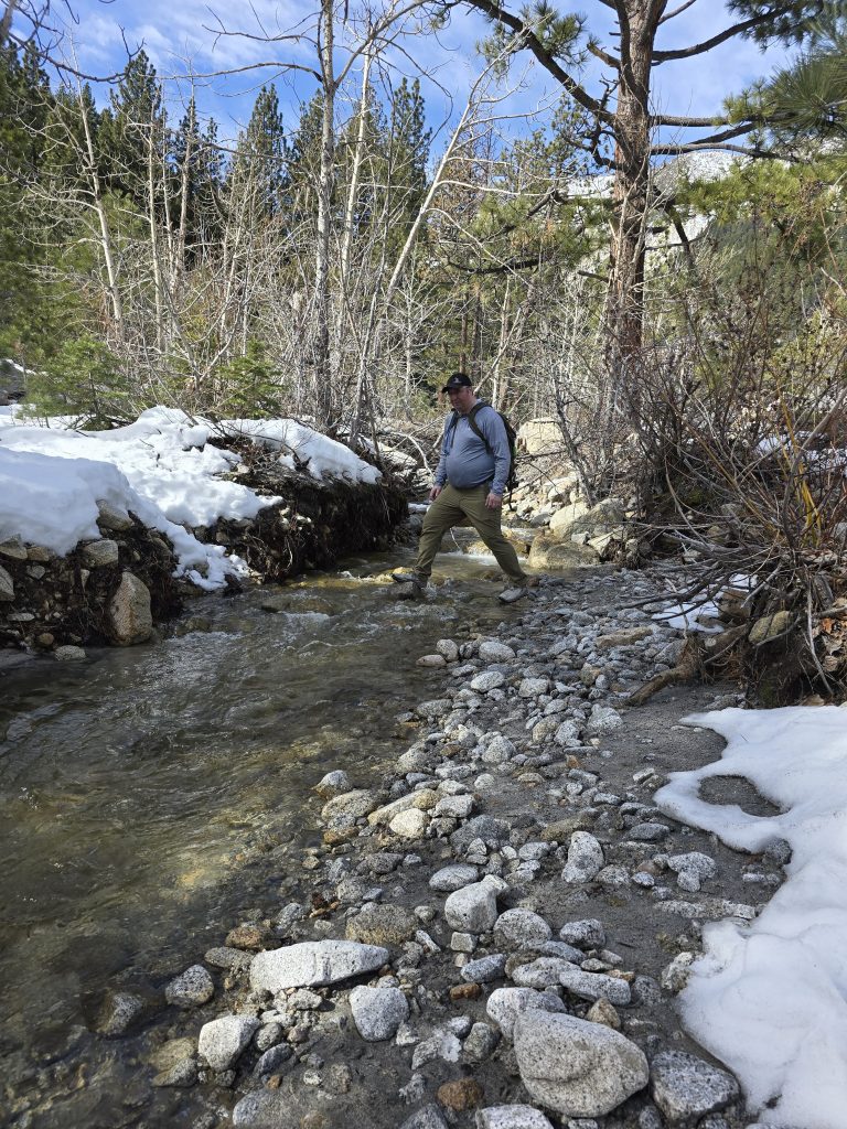
As we always do at larger water crossings, we walked up and down the creekside, looking for the “best” way or the narrowest section before choosing our path across the water. My husband eyed his spot and made his way across Ophir Creek first. I observed his path closely, and I knew my short legs wouldn’t be able to clear the distance across the far half.
Getting Wet
He encouraged me to do it, and wouldn’t you know, I didn’t clear the water on the far side, just as I predicted. Try as I might, I landed in the freezing cold water, just short of the snow-covered shore (which was also on an incline, adding to the complexity of the landing).
So, here I was, winter hiking (thankfully, the temperature was in the 40s), with several miles remaining, and now saturated feet. The beneficial thing about merino wool socks, however, is that when they get wet, they more or less act like a wetsuit, insulating your feet. As long as I kept moving, they seemed to stay warm. But it’s still not great hiking in wet shoes during winter.
Falling
At this point, we hadn’t put on our microspikes yet, because we really hadn’t encountered much snow or ice on the trail. But to add insult to injury, a short distance after the creek crossing calamity, I slipped on an icy rock on the trail and fell. Hard. The fall triggered an “emergency alert” via my Garmin fitness watch, which is only set up to send my husband a message, but it’s nice to know it works.
So, I’m gingerly retrieving my body from the frozen ground and scrambling to figure out how to disable the emergency alert notification coming from my watch. Thankfully, the fall didn’t result in any serious injuries, but I was still rocked from the impact. Needless to say, we put on our microspikes before we ascended farther up the canyon, hoping to avoid any additional incidents.
Unrelenting Steep Terrain
The trail continued to get snowier as we rose in elevation. Roughly halfway up to Rock Lake, we encountered this steep, rocky, snow-covered “channel” that seemed to last for miles.
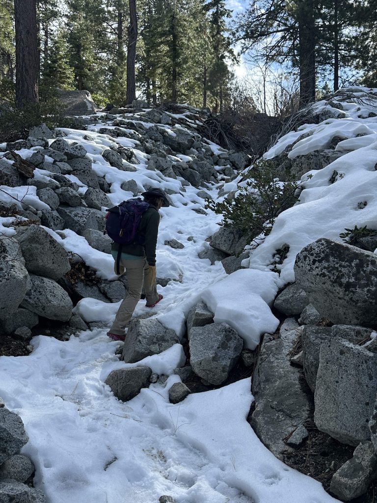
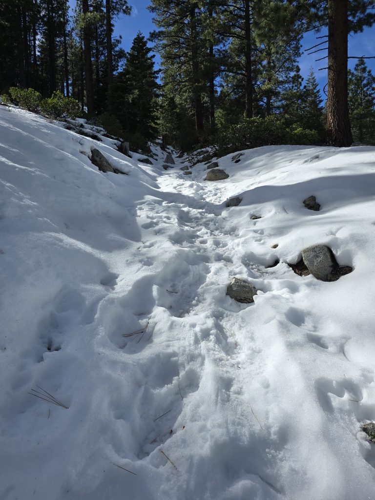
And the snow in it got perpetually deeper.
Trail to Rock Lake off Ophir Creek Trail
As mentioned, after what felt like miles of uphill, snowy, rocky hiking, we finally reached the trail turnoff for Rock Lake. And the snow got deeper, which meant no semblance of a trail to follow. We did see some scattered footprints, but nothing consistent enough to trust or follow.
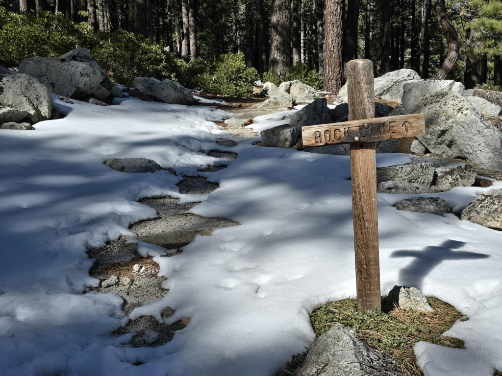
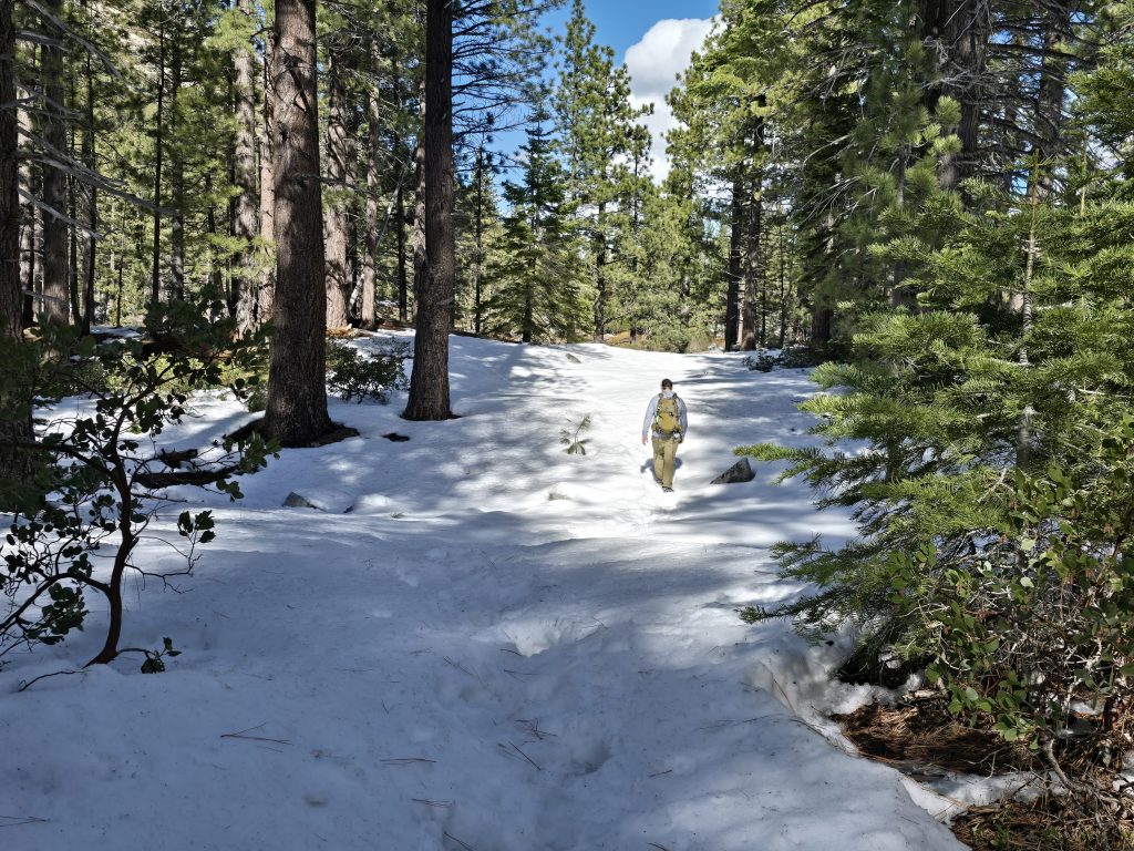
With no assured trail to follow, we meandered through the woods, trudging through calf-deep snow. This was actually when my wet feet started to feel a little cold.
As best we could, we tried to navigate as close to the actual trail as we could, based on the GPS map on my husband’s phone, but also bearing in mind the accessibility and snow depth in front of us.
Then, the adventure really began.
Arriving at Rock Lake
After a fair amount of physical exertion, ascending the steep, snow-covered channel, followed by breaking trail through snow, a modest, partially frozen Rock Lake came into view.
One solo hiker was slowly coming towards us on the stacked, large, snow-covered boulders around the edge of the lake. He was curious what our route up to the lake entailed, and we told him about the snowy channel and water crossing, and that we were hoping we could take the other trail back down. The hiker said he did not recommend the bouldering he was in the middle of, adding that it had taken him 45 minutes just to get this far, and it was borderline dangerous. We thanked him, he wished us luck and continued on his way.
At this point, my husband (who is known for turning any out-and-back hike into a loop hike even if it means hiking along a highway, bouldering, or bushwhacking) was convinced he did not want to take our same route back to the trailhead because that steep, snow-covered channel was such a bear, and he suspected that the trail on the other side would have less snow altogether because it had more sun exposure. So, his alternative was to hike halfway around Rock Lake and locate the other section of trail on the opposite side.
Let the Bouldering Begin
The problem was, as the solo hiker pointed out, Rock Lake is surrounded by large stacked boulders, ranging in roughly two feet to 6 feet in diameter, that are all covered in snow to varying degrees and varying depths. Plus, the terrain around the immediate perimeter of the boulders is also covered with trees and bushes, on top of being snow-covered and far from flat.
The most direct approach, thus his first inclination, was to physically boulder across the snow-covered boulders along the shore of the lake, which I was pretty skeptical of to begin with, but then also having the solo hiker caution against it further increased my skepticism.
Bouldering on dry boulders can be sketchy enough, but when there’s snow on the surfaces and in between the boulders, you really have no idea which surfaces or crevices are safe, or which will cause you to slip, fall, or sink down in between the boulders, risking getting wedged between them. And, of course, falling into the lake during this endeavor would be another major issue.
Next thing I know, my husband is slowly climbing his way up to the top of the snowy boulders along Rock Lake. I climbed up after him, stood at the top, and tried to eye my own path down, while simultaneously watching him. We got maybe halfway down the boulders and quickly realized there was no safe surface to continue on that path, so we had no choice but to turn around and crawl our way back out, grabbing whatever was within reach to help pull ourselves up.
My husband was lower into the “bowl” than I, and looking at the boulders between him and me, I was concerned he wasn’t going to be able to hoist himself back up. But I also had to concentrate on my own path and safety – and by this time, a dull ache and stiffness had formed in my back, which I assumed was due to my earlier slip-and-fall event, so my physical capability was already compromised.
Thankfully, after about 20 minutes, both of us crawled safely back up to the top of the pile of boulders to reassess our plan.
Hiking Cross-Country
I was not interested in risking bouldering again, so I proposed we swing wide and find a route that may cover a bit more ground, but would hopefully allow us to avoid contending with boulders.
So, we hiked cross-country, through snow, trees, and bushes, and up and over the undulating terrain.
Until… we reached a boulder field. Sigh.
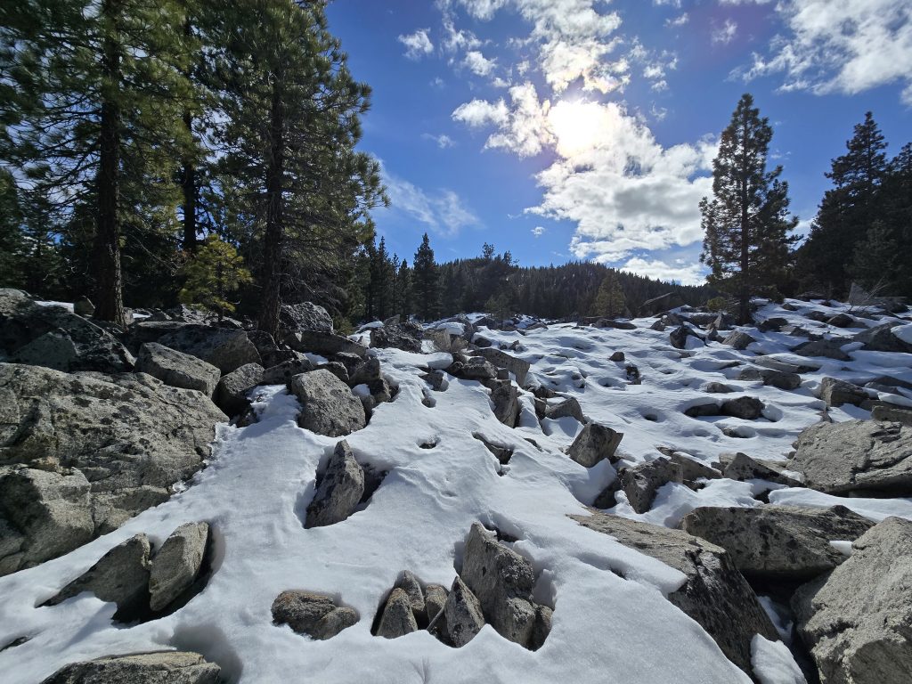
We just couldn’t get around crossing boulders on this hike. Somehow, these seemed less treacherous than the massive stack along the lake. But we still needed to carefully cross them because we didn’t know what was beneath them, and in some cases, which surfaces were safe.
It was physically demanding and nerve-wracking to say the least, but we made it across and continued traversing cross-country until we were hopeful we’d intersect with the actual trail and finish the route back to the trailhead.
The Walking Stick
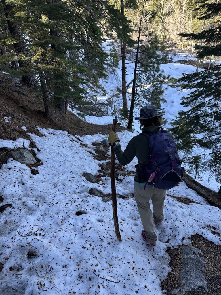
Somewhere along this makeshift route, I spotted a five-foot-tall walking stick. After dunking my feet in the creek once today and falling on my behind on a slippery rock, I decided I was going to claim this stick – branch, really – and use it for stability, especially since we didn’t know what lay ahead of us on this alternate route back to the trailhead. Truth be told, the bulk of the walking stick fatigued my arms after a while, and I had to keep alternating which side I was using it on. 😂
Rejoining Ophir Creek Trail
Using the GPS map as a general guide, we continued hiking up and down, through snow, trees, and bushes, and across a small stream before we finally spotted the trail. What a relief that was.
A little way down the trail, we returned to the Ophir Creek crossing, but it was different than the section where I dunked. And this time, I had my trusty walking stick to assist. 😂
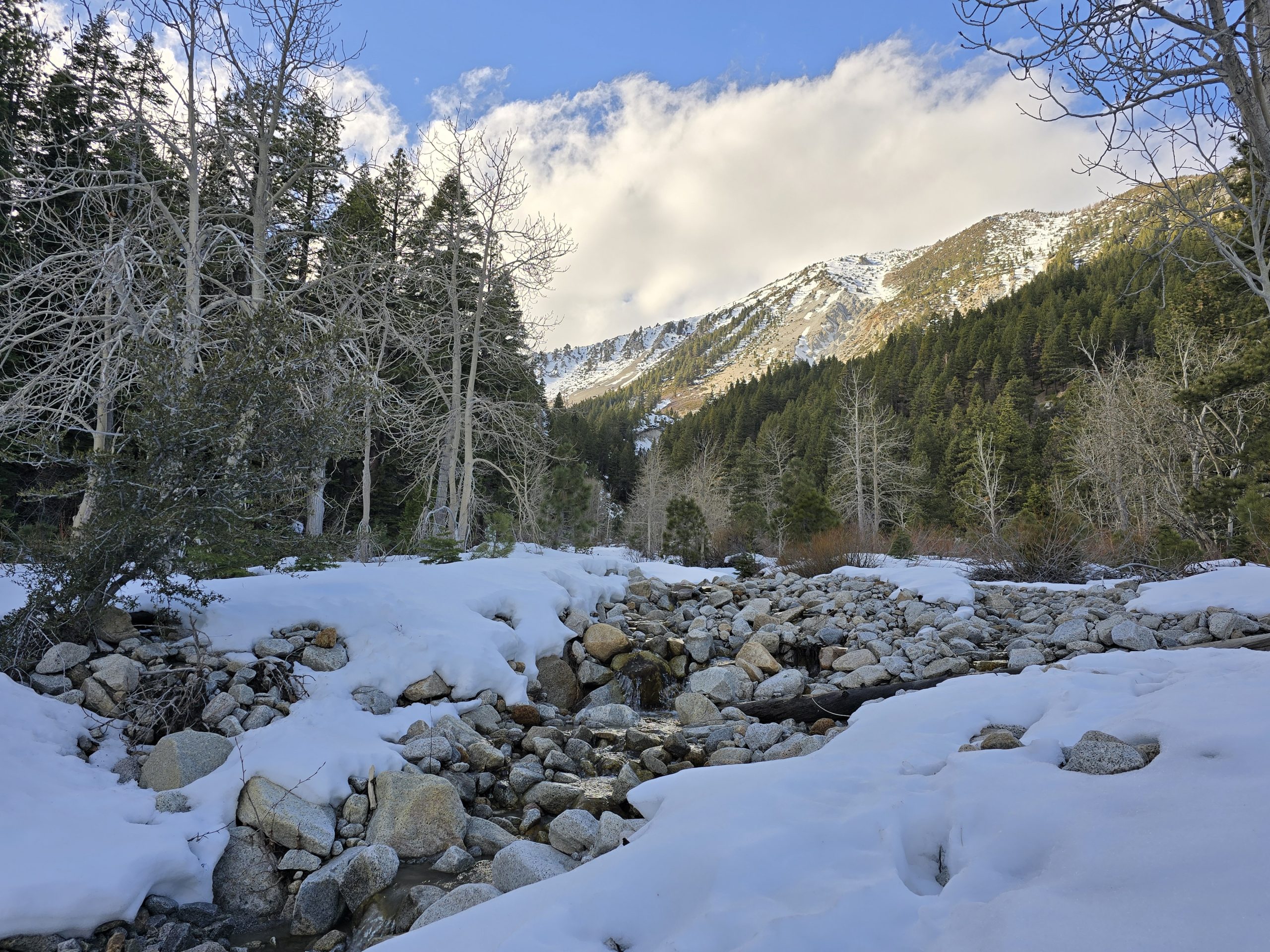
This section of the trail was so beautiful. Pine trees and snowy peaks in the background of a flowing, rock-bottom creek.
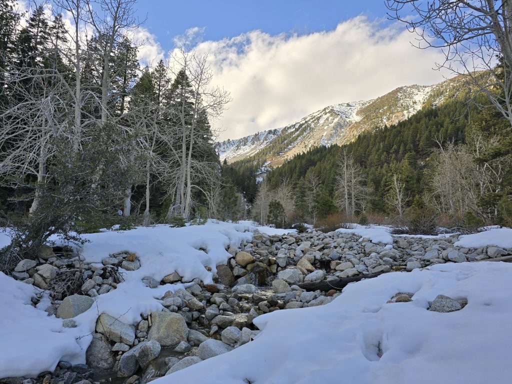
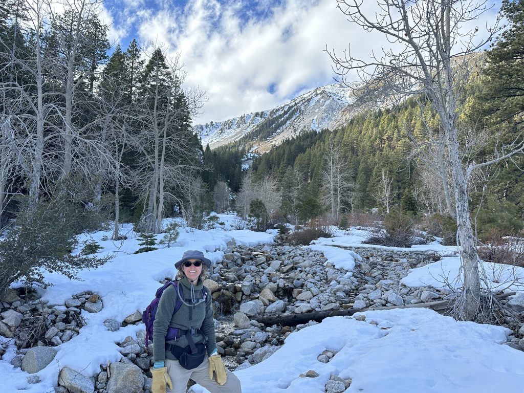
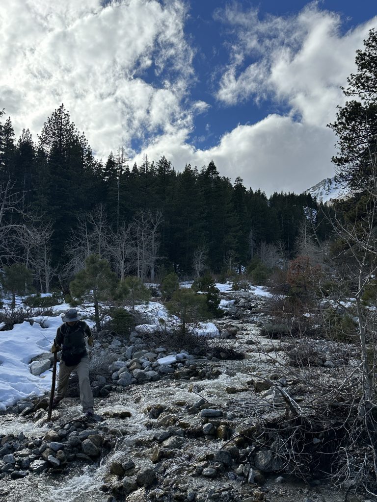
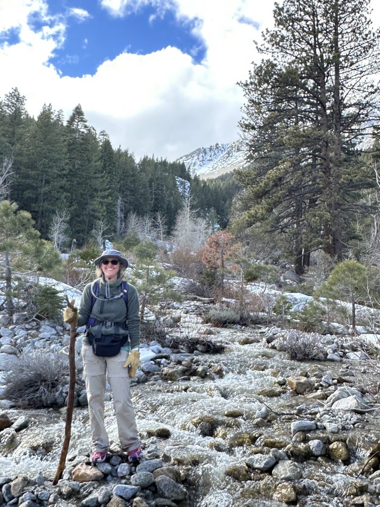
After crossing the creek and taking in the lovely mountain scene, we paused for a quick snack and removed our microspikes before proceeding.
Mileage Malfunction
While enjoying being back on the established trail, which was much less snowy, I pondered how many “extra” miles we’d logged with all the Rock Lake circumnavigation shenanigans. It was then that I looked at my fitness watch to see what our mileage was at, and I noticed my watch had stopped tracking our hike! Frustrated and disappointed, I told my husband of this news, and he looked at his watch and saw that his had stopped tracking our route as well!
Apparently, mine stopped after it generated the emergency alert way back when I fell, and at some point, while my husband was deep in boulder mode along the lake, something he did also set off his watch’s emergency alert. Neither of us knew that after disabling the alert, the watch stops tracking your activity. So, after all the craziness we experienced on this hike, we don’t even have accurate stats!
I also realized that, in the chaos at Rock Lake, I never took the time to snap a single photo of it. So, we “hiked” to Rock Lake, but we don’t have any photos or complete stats… so, did we really hike to Rock Lake, or did we fabricate this entire thing? 😂
Ophir Creek Trail to Rock Lake (Incomplete) Hike Stats
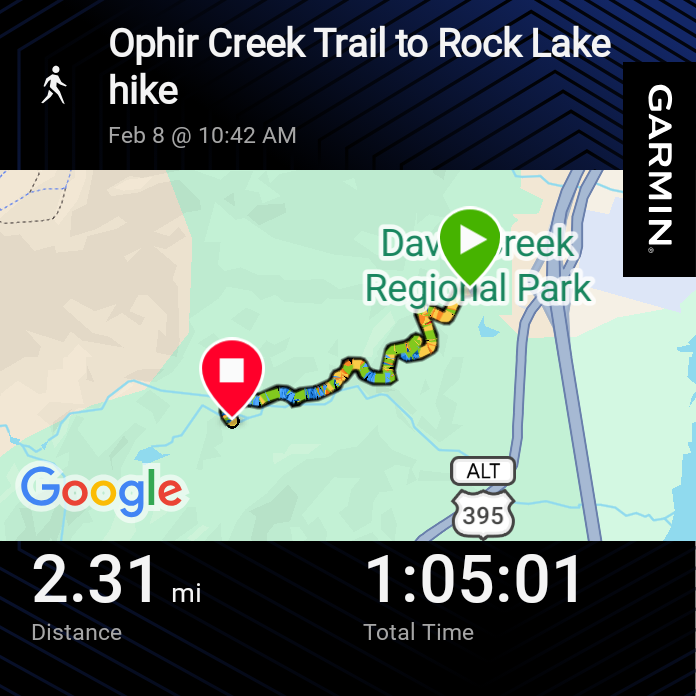
| Ophir Creek Trail to Rock Lake | |
|---|---|
| Total Distance | Unknown |
| Total Time | Approximately 5 hours |
| Total Ascent | Unknown |
| Max Elevation | Unknown |

Leave a Reply