
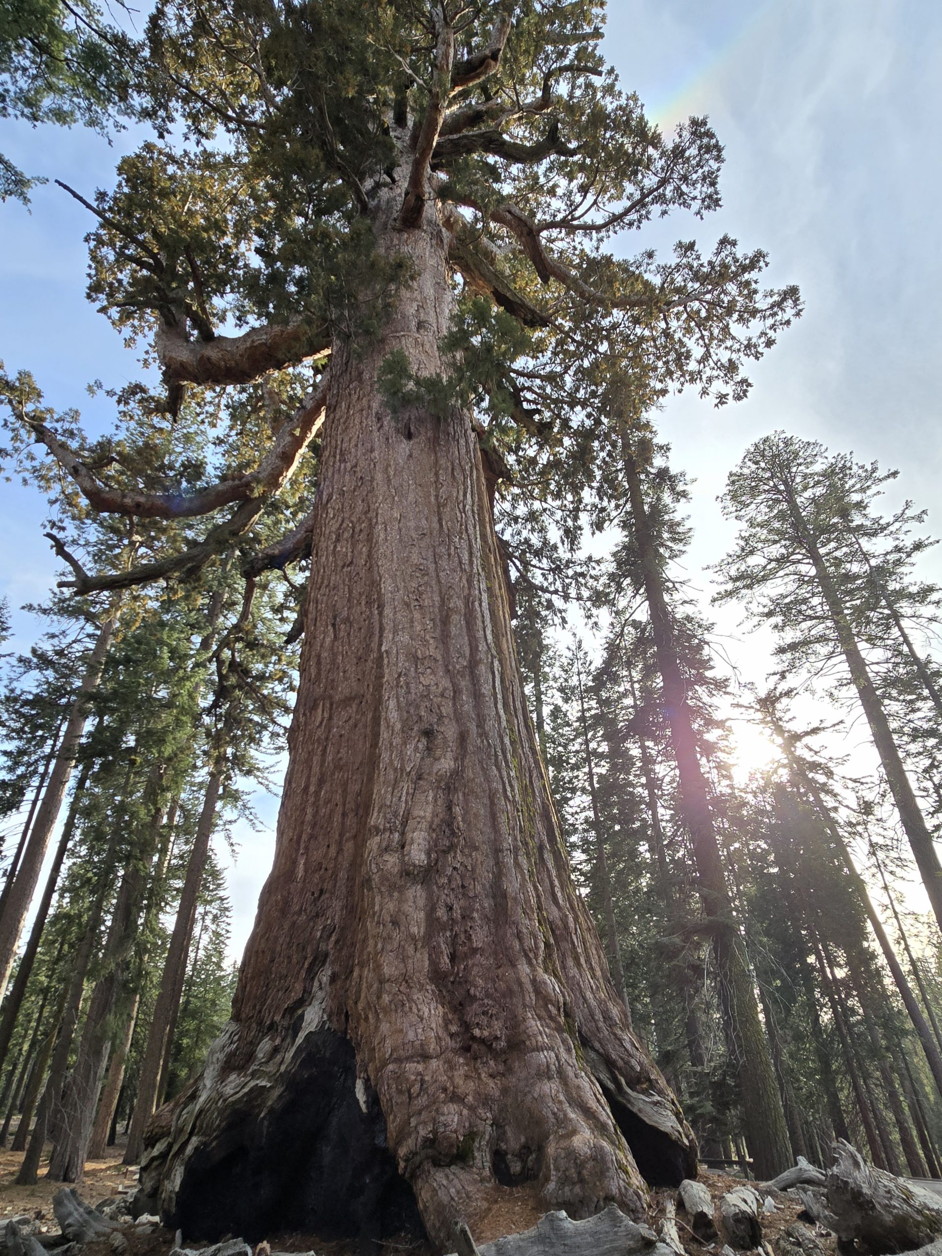
After nearly a six-hour drive from Tahoe to Mariposa Grove in the southern region of Yosemite National Park, we were ready to get out and walk the Grizzly Giant Loop Trail and see some majestic giant sequoia trees.
Planning the Annual Hiking Trip
It was time once again for our long-awaited annual hiking trip with our friends, Chad and Shannon. Despite my husband and me living in Tahoe for over 14 years, we’ve shied away from exploring Yosemite due to its overwhelming popularity and overall busyness. To date, our only Yosemite experience had been our unforgettable hike to Cloud’s Rest, but we’d never even been to Yosemite Valley. Thus, this year’s annual trip was born.
Months in advance (and by that, I mean a few weeks after we got home from our previous annual hiking trip to Olympic National Park), we agreed on a vague plan for our next trip – which would include Yosemite, Kings & Sequoia, Big Sur, and Pinnacles National Park – and Chad started booking lodging, etc.
Visiting Yosemite in April
Mid-April can be a great time to visit Yosemite, not only because of reduced crowds, but if it was a decent snow year, the waterfalls are amazing. The 2025/2026 snowfall in Tahoe was average, but thanks to some timely late-season storms (including a sizable snowstorm a few days before our trip began, which seems to happen more often than not in time for our annual trip with Chad and Shannon), we enjoyed plenty of waterfalls in Yosemite.
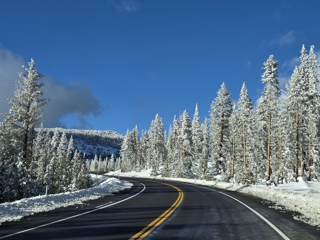
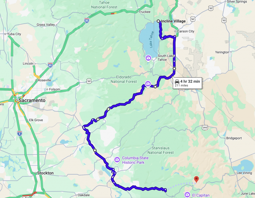
The wild card for doing a Yosemite trip in mid-April, however, is the high likelihood that Tioga Pass is still closed for winter. We wouldn’t know for quite a while whether the pass would be open in time for our trip, which would impact our drive time and route from Tahoe into Yosemite. If Tioga Pass is closed, our less-than-three-hour drive turns into a four-and-a-half-hour drive to enter Yosemite from the west side.
Additionally, some roads, trails, and areas might still be closed for the winter in mid-April, but we researched and planned ahead as much as we could, ensuring to take note of any closure warning information posted online and include a backup plan.
Trip Planning the Right Way
I don’t know how long planning the itinerary for a week-long hiking trip should take, but we did it in a few hours one night. 😂 Due to the unknowns about Tioga Pass, and assuming it would not yet be open, my husband and I waited until a week prior to the trip to finalize the itinerary.
Naturally, we set up a long folding table in the garage, spread out the paper map of Yosemite and some adhesive stickers to use for labels, opened our respective laptops, and my husband had his trusty yellow legal pad and pen.
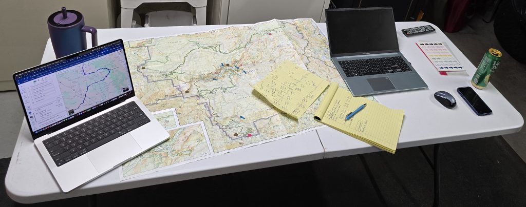
We got to work mapping, researching, and collecting ideas for feasible hikes to do, sights to see, as well as any logistics. Our itinerary also accounted for estimated hiking time, drive time between destinations, and included meal stops on the road, or determined whether we would rely on our famous PB&J tailgate lunch.
In the end, I transferred all our handwritten notes from the yellow legal pad into an online spreadsheet that we could share amongst all four of us. To be clear, though, just because we have an itinerary doesn’t mean we are locked into doing everything listed. We just use it as a guide and to keep track of ideas while out on the road.
Driving from Tahoe to Yosemite
Chad and Shannon arrived in Tahoe, we had a yummy steak dinner at our house, then headed down to Stateline, NV, for the Zach Williams/Third Day concert to kick off our annual trip. The following morning, we got up as early as we could and headed down to Yosemite.
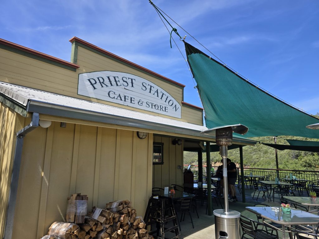
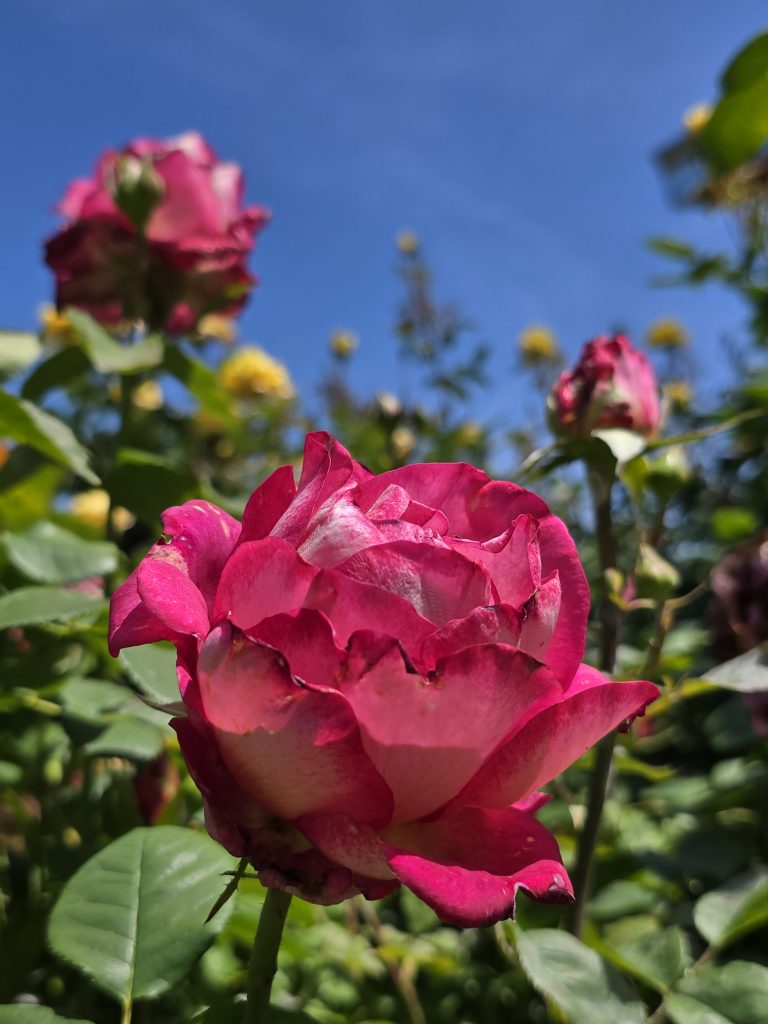
Our first official lunch stop on the trip was at Priest Station Cafe outside of Big Oak Flat, CA, about 27 miles from the Yosemite Big Oak Flat entrance on the west side. This was a fantastic stop! Besides enjoying really delicious food, we dined out on their patio, which was surrounded by fragrant rose bushes and overlooked miles of rolling foothills around Old Priest Grade and Hwy 120 (Tioga Pass).
Brief History of Priest Station
Perched atop Old Priest Grade on the route to Yosemite, Priest Station traces its roots to the California Gold Rush, when a trading post and stage stop were established on the site in the 1850s. Alexander and Margaret Kirkwood expanded the property into a popular lodging and dining stop for miners, stagecoach passengers, and Yosemite-bound travelers, and after Margaret married engineer William Priest, it became known as Priest Station.
At its peak, the complex included a hotel, barns, stables, and other buildings serving travelers along the historic Big Oak Flat and Yosemite Toll Road. Although the original station was destroyed by wildfire in 1926, the property was eventually reacquired by descendants of the founding family and today continues its long tradition of welcoming visitors headed to Yosemite.
Yosemite Big Oak Flat Entrance
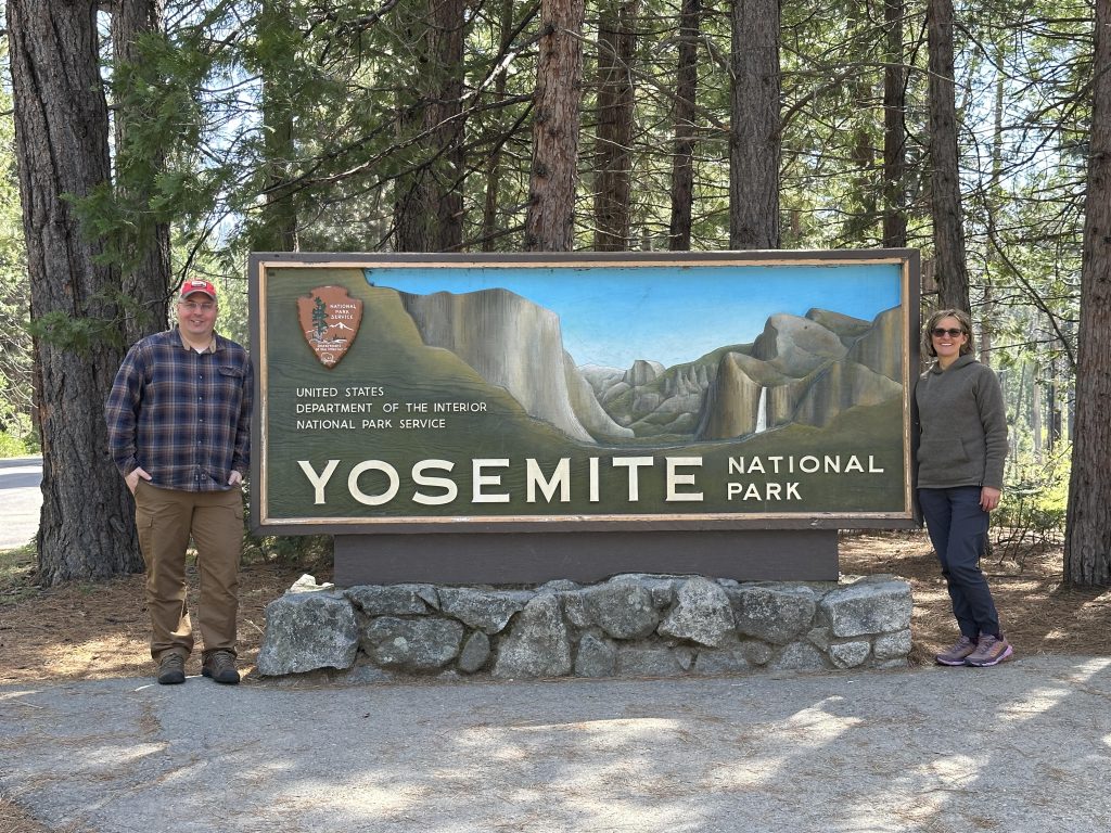
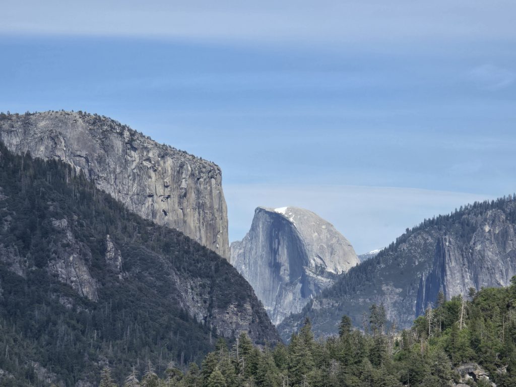
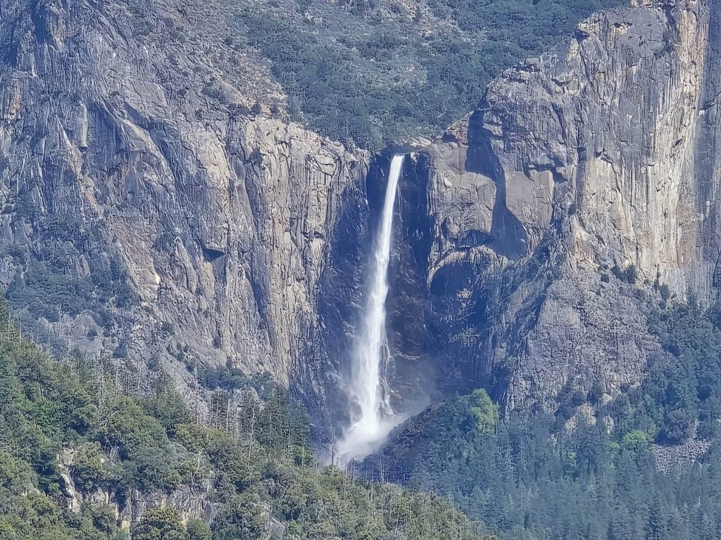
To say the least, the drive into Yosemite via Hwy 120 from the west side through Big Oak Flat Entrance is scenic, surrounded by beautiful old-growth trees, waterfalls, three-dimensional canyons, and dramatic cliffs and rock faces. We couldn’t pass up our first official sightings of Half Dome and Bridal Veil Falls at a couple of roadside stops before heading to Mariposa Grove on the south side of Yosemite.
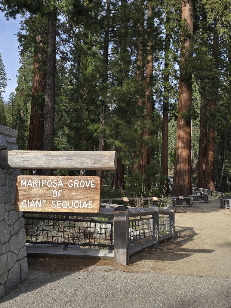
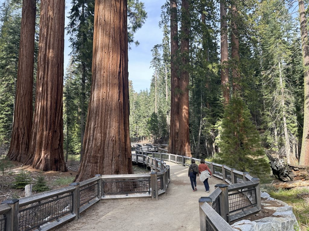
Grizzly Giant Loop Trail in Mariposa Grove in Yosemite
Chad and Shannon had not yet seen giant sequoias, so we aimed to show them some while on this trip. In truth, our first choice was to take them to one of our favorite giant sequoia spots, Calaveras Big Trees State Park, but South Grove is the area we like to hike, and it was still inaccessible due to winter conditions. So, as an alternative, we decided to venture down to Mariposa Grove instead.
Speaking of inaccessibility, we also knew that Mariposa Grove Road was still closed to vehicles for the winter in April, and the shuttle had not started operating for the season yet. Thus, to get to the area where we could connect to Grizzly Giant Loop Trail, we would need to park and then walk two miles (both ways), in addition to hiking the loop route to the tree called Grizzly Giant. In the end, completing a six-mile trek to see a few trees was not ideal, but we had planned for it, so we went for it.
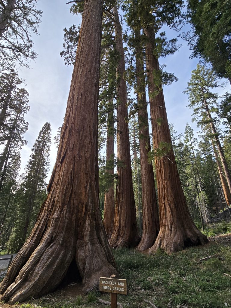
Mariposa Grove, home to over 500 mature giant sequoias, is located in the southern area of Yosemite National Park and is the largest sequoia grove in the park.
Grizzly Giant Sequoia Tree
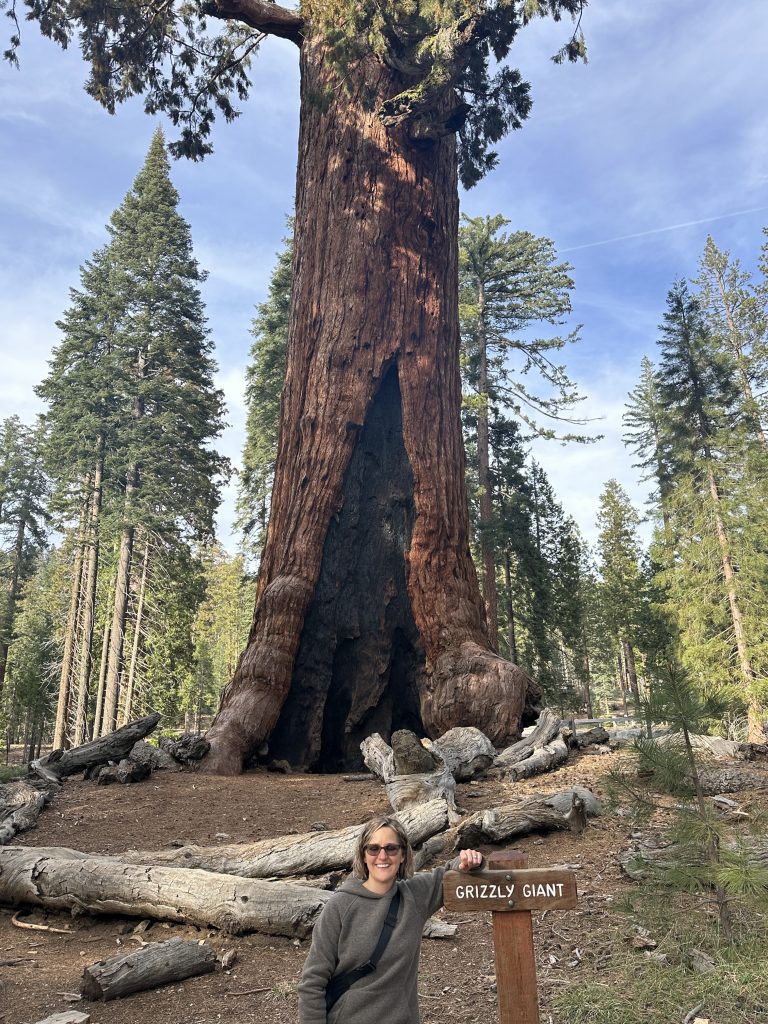
The Grizzly Giant stands 209 feet tall, is 28 feet in diameter, and 96 feet in circumference at its base. It is nearly as tall as the Statue of Liberty (305 feet) and is estimated to be 2,900 years old.
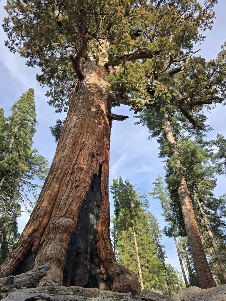
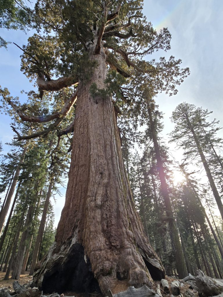
Fire scars and all, this giant sequoia is a sight to behold. In fact, giant sequoias depend on natural fire for reproduction. The natural cycle of lightning-caused fires occurs in Mariposa Grove every five to 20 years.
California Tunnel Tree
Continuing around the loop, the next giant attraction was the California Tunnel Tree.
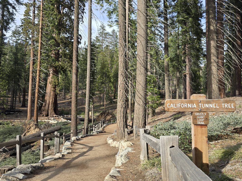
A short distance after we passed through the tunnel tree, something remarkable happened.
In addition to the innumerable huge trees, we also came to discover that deer are very prevalent in Mariposa Grove. Throughout our hike, we spotted around 10 deer. Most of them were indifferent to humans.
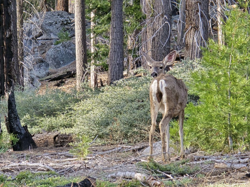
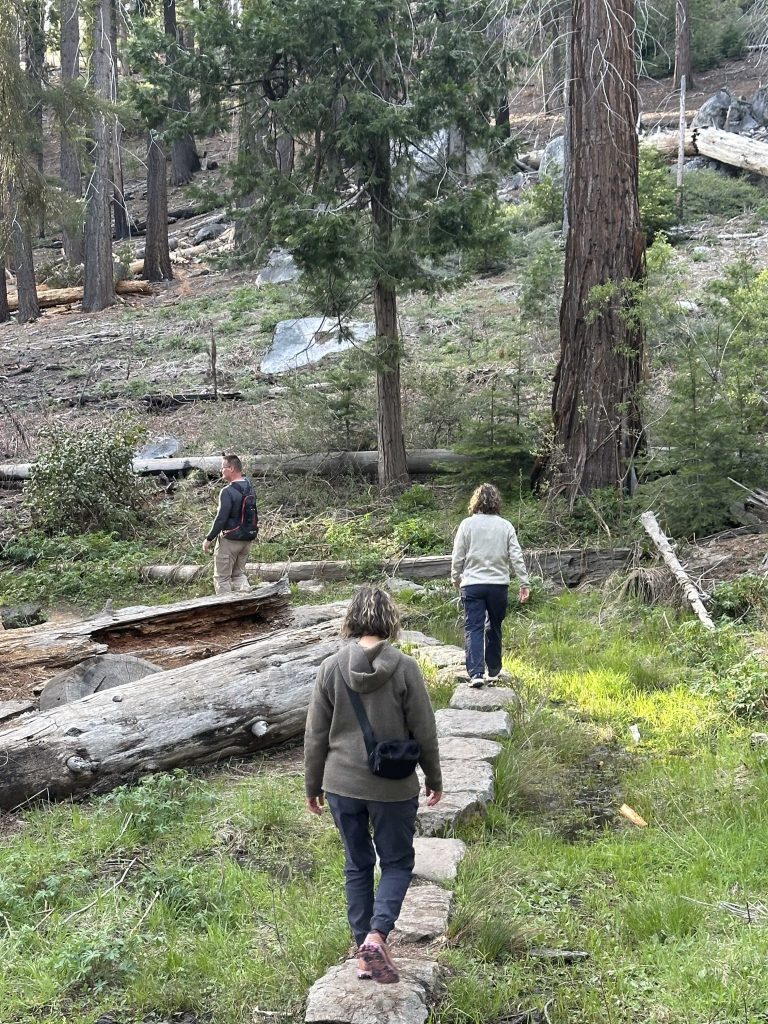
As we were winding through the woods, I spotted yet another deer off to the left of the trail. I approached a large tree next to the trail and stopped behind it to get out my phone, planning to take a video of this deer from the other side of the tree.
Well, that deer didn’t see me behind the tree, and I didn’t see the deer make a mad dash across the trail. As I stepped out from behind the tree, I came within inches of colliding with a running deer. It was so close, I could feel the breeze created by its sprint and the vibration of its hooves hitting the ground.
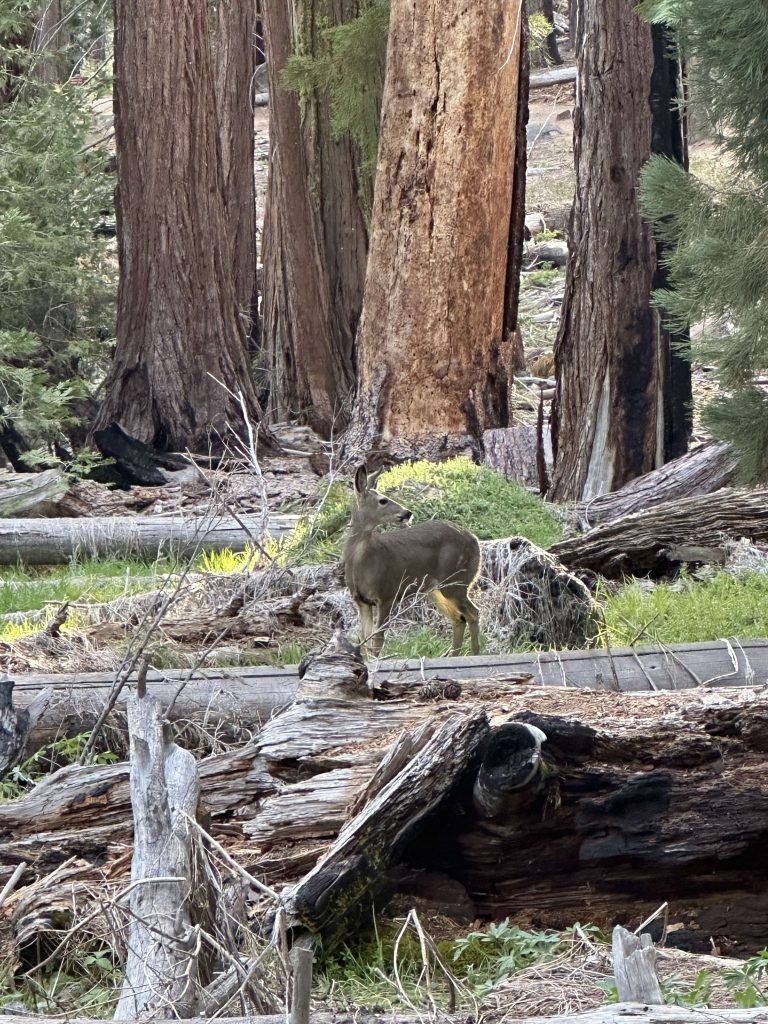
What a crazy inaugural moment for our trip to Yosemite.
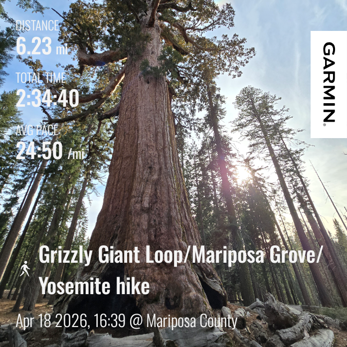
| Grizzly Giant Loop Trail hike | |
|---|---|
| Total Distance | 6.23 mi |
| Total Time | 2:34:40 |
| Total Ascent | 1,058 ft |
| Max Elevation | 5,969 ft |
Tomorrow will be our first venture into the valley floor of Yosemite National Park for an incredible waterfall hike.


Leave a Reply