
After spending a few morning hours at Valley of Fire State Park on our Thanksgiving trip, we headed west toward Red Rock Canyon National Conservation Area, 198,000+ acres of land.

In advance of our trip, we were granted a reservation to enter Red Rock Canyon at 11:00 a.m. (Reservations are required to enter Red Rock Canyon from October 1 to May 31 between the hours of 8:00 a.m. and 5:00 p.m.) During our research of this area, we also learned that trailheads often have limited parking, especially during peak hours of the day, and most especially on weekends or holidays, and parking along the roadway is prohibited.
I was a little concerned that since we’d be arriving during peak hours the day after a holiday, we might have trouble finding parking at the trailheads we’d planned to hike from, but I just told myself to be open to the fact that we might not get to do our first or second choice hikes.
The other challenging factor when visiting Red Rock Canyon is that the area consists of a single one-way road, called the Scenic Loop Road, so if you pass something you wanted to stop and see or a hike you wanted to do, there was no turning around to go back to it. In order to come back to something you’d passed, you had to follow the loop road out of the area, and try to get a new timed-entry reservation to re-enter. The odds of getting another timed-entry reservation on that same day, however, are slim to none. Or you wait to re-enter until after 5:00 p.m., but this time of year, it would already be dark by then.
So, you basically have to gamble that whatever destination or trailhead you are passing on, you are 100% sure about passing on it, and hopefully, whatever desired destination or trailhead that lies ahead will have a parking spot available.
That aspect of this adventure was a little stressful for me.
The Red Rock Canyon Visitor Center is near the beginning of the Scenic Loop Road, and a sign makes it very clear that if you want to stop at the visitor center, you must do it now, because you cannot come back to it without obtaining another timed-entry reservation. So, the visitor center was our first stop.
The cool thing about this visitor center is that it has numerous outdoor exhibits and interpretive signs, which all provided interesting facts and information about the area. They also have an outdoor desert tortoise exhibit! I was really hoping to catch a glimpse of one, but they had all entered their “winter” hibernation phase and were burrowed underground.
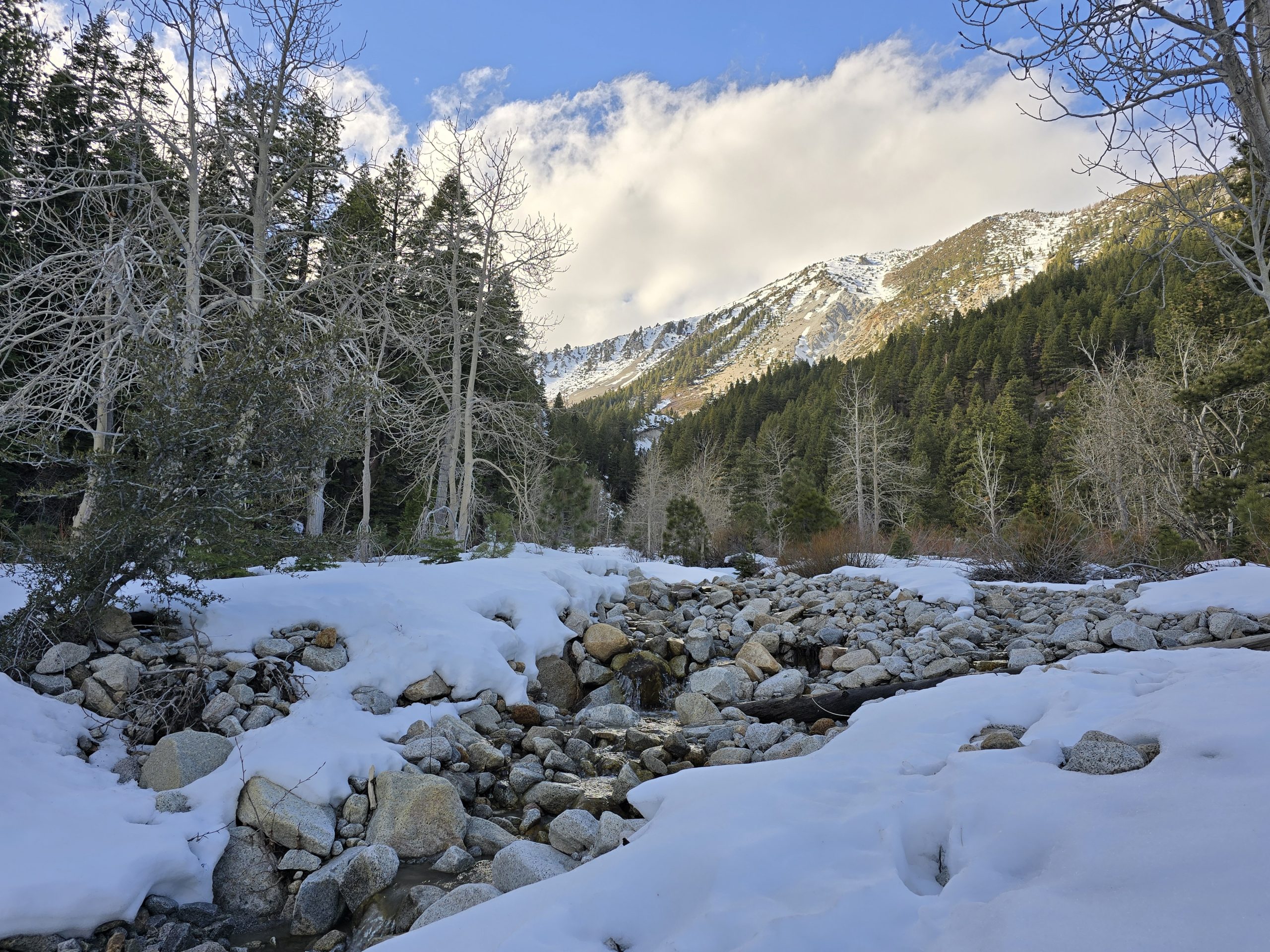
We wandered around the outdoor exhibits and took photos of some of the surrounding scenery. Here are various views of the Spring Mountains, the highest mountain range in southern Nevada.


Keystone Thrust Hike
The first hike on my list along the Scenic Loop Road was Keystone Thrust. Mostly, I was interested in it because the trail brings you to one of the geological faults in the area.
Between 70 and 150 million years ago, these faults bulged the earth upwards to form what was called the “North American Andes,” and then 15-20 million years ago, geologic conditions changed again, but instead of the plates colliding, they bumped alongside each other laterally. The pressure formerly holding up the mountains eased and the big range dissected into smaller ranges during an event called “Basin and Range Extension” which created the scenic, rocky, layered, and mountainous Red Rock landscape we see today.
From an interpretive sign at Red Rock Canyon visitor center:
The Keystone Thrust Fault is, like the famous San Andreas Fault, a break between two major rock bodies along which there has been movement. Unlike the San Andreas, in which the break is vertical, the Keystone is horizontal. It began as gray limestone layers were pushed east during the end of the age of dinosaurs and ultimately “ramped” up through Jurassic Aztec Sandstone. Estimates of total eastward movement along this fault are as high as 40 miles.
Anyway, being at the site of faults and plates is fascinating to me, thus, the Keystone Thrust hike made the list. There is a parking lot close to the road, but about 1/4 of a mile down a gravel road is another parking area that is closer to the actual trailhead. Mind you, we were driving a Ford Mustang on this trip, not one of our Jeeps, and the sign at the start of this gravel road warned of the rough road ahead and that high-clearance and/or 4WD was recommended. I looked at my husband as he drove by the sign and continued slowly down the gravel road. When I questioned this decision, he said in the photos he saw of this gravel parking lot online, there were all kinds of sedans/passenger cars parked there, so he figured we could make it without incident.
Luckily, after driving the distance on the gravel road, we were actually able to grab a parking spot. It would have been disappointing to have gotten to the end of the gravel road and then not find an open spot, but we did!
And we headed out on the trail to Keystone Thrust.

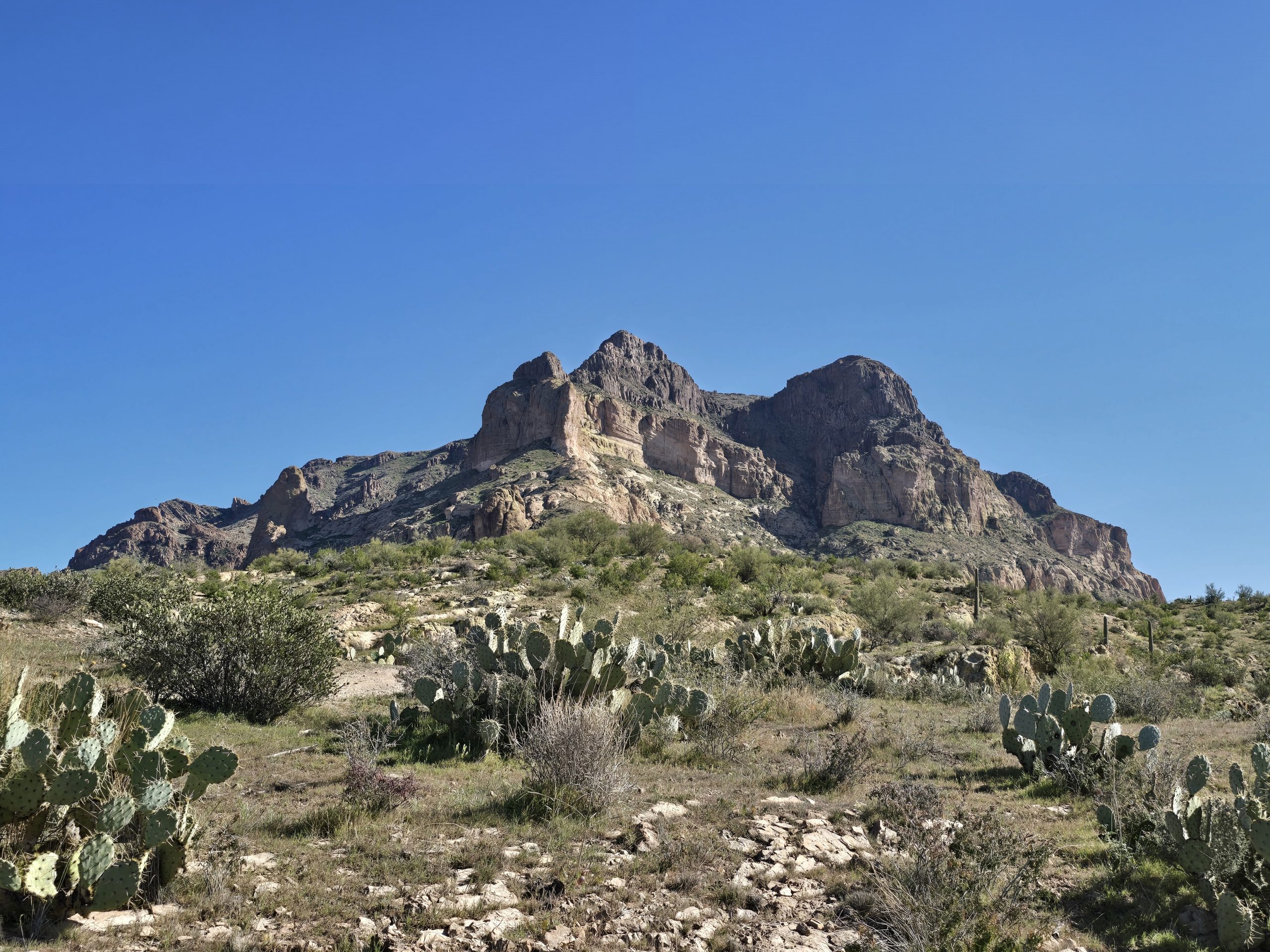
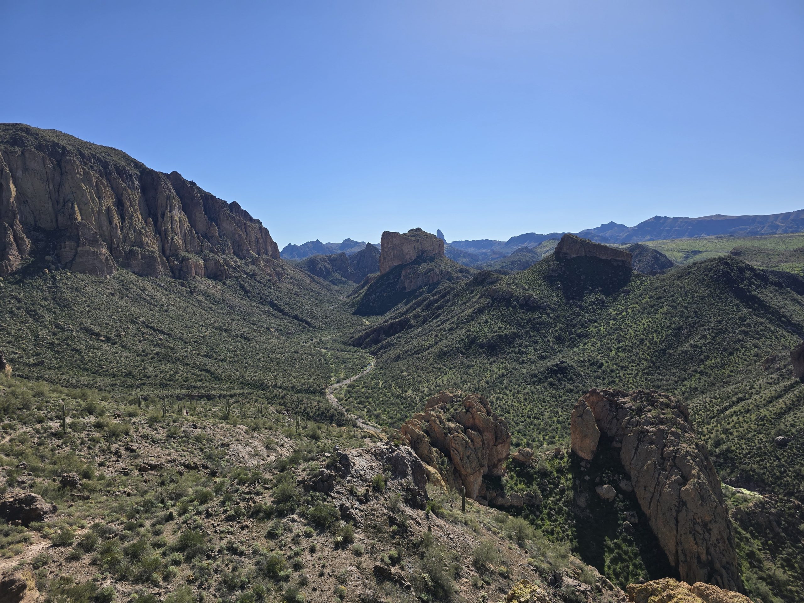
The expansive views of the mountainous landscape along the route were amazing.


The grade of the early part of the trail was a steady ascent with some steeper sections. One one of those sections, a small family was hiking down the trail towards us. The mom was wearing a black and red athletic t-shirt with “Fond du Lac” printed across it. As we got closer to her, I asked, “Is that Fond du Lac, Wisconsin?” She nodded and said yes. I chuckled and told her where I grew up, which is on the other side of the state, but still. It was funny to see someone in southern Nevada wearing a Fond du Lac shirt.
A short distance later, another something caught my eye, but this time it was off-trail.

I asked my husband if he could tip it upright and hold it for me while I take an artsy photo. (He was not thrilled with this request for fear of tetanus.)

As we descended into the wash canyon, you could visually see the fault line based on the two different types/colors of rocks – gray limestone on one side and red and tan sandstone on the other.


The trail continued on, and so did we, taking in the views.


We came to a sign that indicated we’d reached the end of the trail, but there was some semblance of a trail that led farther out on the ridge we were on, so we kept going a little more to see what the views were like.
Looking off to our left, this “pile of rocks” really looked out of place to me in its surroundings. In real life, it looked like someone dropped them in during a Photoshop edit.

We started to retrace our steps and make our way back to the main trail.

One of the things I realized on this hike is that all the desert vegetation is so rough and spiky and it kind of seems like it wants to injure or kill you. If it’s not some kind of cactus, it’s something else equally as pokey.


I also noticed these sandstone boulders that looked like they had measles or chicken pox or something. Ultimately, I decided they looked like freshly made flour tortillas. 😂


We made it back to the gravel lot trailhead without getting impaled by any of the spiky vegetation and got in the car to travel to the next hike on my list: Ice Box Canyon. Hoping there’s an open space in the parking lot!
Ice Box Canyon Hike
We got super lucky and found one of the only open spots at the trailhead for Ice Box Canyon. At this point, however, I was starting to get hungry, so before we headed out on the trail to Ice Box Canyon, we enjoyed a PB&J tailgate lunch.
While we were standing around, having our lunch, we saw numerous other vehicles arrive on the loop road looking for a spot to park. We saw some people park wherever they could find a space, and then get out and walk along the road to the trailhead they really wanted to be at, but at which there wasn’t any parking. So, they had to settle for parking farther away and then walking a longer distance to get to their desired trail. So, when I said we got lucky with getting parking spaces at both trailhead parking lots, I really feel that we did.
Once we finished up our tailgate lunches, we hit the trail to Ice Box Canyon.

Very early on, the landscape around the trail was magnificent.


And… more desert pokey things.

I just loved the views going into Ice Box Canyon.


Somewhere around this point in the trail, a noticeable temperature drop hit me and the rationale behind the canyon’s namesake became obvious. Glad I dressed in layers.
The closer we got to Ice Box Canyon, the rockier the trail terrain got.
Just before we entered the canyon, we heard some kind of “clicking” ahead a short distance. Both of us were secretly hoping we’d see some kind of hoofed wildlife. Then the noisemaker came into view between the tall desert bushes and scrubby trees.
It was a woman, likely in her 60s, hiking over the rocky trail with trekking poles – hence the “clicking” sound. We greeted her and she was happy to stop for a break to chat with us. She asked if we were going all the way into the canyon, and we said yes, to which she responded, “I turned around when the boulders were as big as houses. Plus, I was starting to get cold.”
At that time, we weren’t sure if she was exaggerating about the boulders, but we told her that we live in Tahoe, so we’re pretty accustomed to hiking amongst boulders.
Well. That started a 20-minute conversation.
She and her husband built a house in Saddlehorn (a development on the south end of Reno) two years ago, following her husband’s retirement. I told her I actually know some folks who live in Saddlehorn. Small world.
As if that wasn’t coincidence enough, I asked her where they moved to Reno from and she said Hopkins, MN, (which is on the west side of Minneapolis). We told her that we were originally from Wisconsin and Minnesota, and that my husband grew up on the east side of St. Paul. I also told her that my parents had actually lived in Hopkins once upon a time.
Such a small world.
We chatted with her a bit more as she shared how much she and her husband have been enjoying skiing in the Tahoe area and are loving living in Reno, even though she never imagined she’d move out West to the desert. She told us her husband had skied 127 days last winter, and if we ran into him and their son on our way into this canyon, we were to tell them she is okay and is heading back to the car. We parted ways and continued our way up into the canyon.
A few minutes later, a young man wearing a Minnesota Twins hat was hiking down the trail towards us, and the dad was a few steps behind. My husband said to the dad, “Are you the one who skied 127 days last winter?” The man was kind of stunned at first, then laughed, and said, “Oh. Did you run into my wife?” We laughed in return and said, “Yes, and she told us to tell you she’s fine and is heading back to the car.”
As we ventured into the canyon, the rocky trail turned into a boulder field. I alerted my husband that I was going to hang back and take video of him navigating this section, “So, don’t fall.”
That was the reason for my chortle. 😂🤭
In fairness, he laughed, too.

Venturing farther into the canyon, the boulders got perpetually bigger and bigger. Our MN/NV trail friend had been right.


The trail essentially ran directly up the middle of the canyon; although, in some spots, you could find an alternative way around a boulder section by creeping along the edge at the canyon rock wall on either side, but rarely was that actually easier than just climbing up and over the boulders in front of us.
I imagine that, earlier in the year, the middle of the canyon also has some amount of water running through it, which means retreating to the edges might be the only (or the safest) option as far as a trail. It might resemble our memorable experience hiking through a slot canyon in Utah at Kanarra Falls.
Then, we climbed over perhaps the biggest boulders of the trail (with my short height, I almost needed a boost), and when we emerged, we were looking at a side-slope rock face section just before arriving at the end of the canyon.

In the photos, it doesn’t look like much, but this rock face section was a little sketchy. Steep and a side-slope. And one section of it got narrow and turned into more of a shelf trail with a several-foot drop-off below, so we really had to watch our footing.


Then, we reached the end, which was a little anticlimactic since there was no waterfall reward this time of year, but the canyon itself was amazing.


After taking a few photos and spotting a tiny mouse-like rodent who apparently was hoping for a snack (I was surprised he didn’t come up and tug on the hem of my pants to get my attention), we decided to head back down to the car. So, off we went to navigate over the boulders again.


Let’s just say this hike was very mentally stimulating, which is actually why I liked it so much.
Most of the time, we are hiking on a dirt trail, maybe there’s a few rocky sections or some mild scrambling near the top of a peak or a section of granite where we have to follow the rock cairns to “find” the trail, but having so much of the Ice Box Canyon trail obstructed by massive boulders was exciting. It required us to assess our next “path” frequently, and try to determine safe foot placement. And climbing up and over boulders also required physical agility and strength. I wouldn’t necessarily want miles and miles of boulder trail in front of me, but since this was a short hike, I just found it to be a fun challenge.
On our way into the canyon, we came across several other people who wished us luck and said they’d given up on making it to the end because of all the boulder-climbing. If the waterfall had been flowing, I would have thought they missed out and should have pushed ahead, despite the challenges, just to ensure they would get the waterfall reward, but since the canyon was dry, it probably wasn’t a huge loss that they ended their hike short. But I was glad we made it all the way to the end.
Ice Box Canyon Hike Stats

| Ice Box Canyon hike | |
|---|---|
| Total Distance | 2.9 mi |
| Total Time | 1:45:56 |
| Total Ascent | 492 ft |
| Max Elevation | 4,689 ft |
We arrived back at the Ice Box Canyon trailhead, got in our car, drove the remaining distance on the one-way Scenic Loop Road to exit the Red Rock Canyon area, and then we continued on to our hotel for the evening, which was about a 15-minute drive up a picturesque steady grade on Kyle Canyon Road.
My husband booked a room at The Retreat on Charleston Peak, which is in an area we’d never visited before, only knowing of Charleston Peak. The rustic lodge sits at 6,700 ft. and was ample and had an on-site restaurant that had decent food (and I had worked up an appetite after the Ice Box Canyon hike, so we actually got a table to eat dinner before we even checked in). Having the restaurant on site was very convenient, because the nearest restaurants were a minimum half-hour away in the Las Vegas area. So, we were happy to have the restaurant right there.
The Retreat on Charleston Peak was unpretentious and had a very non-corporate feel to its vintage appeal, which we liked; although, the hallways (and our room) could definitely use a little updating and a fresh coat of paint. All in all, we were only there for one night, so it was sufficient. Unfortunately, we experienced issues with not having hot water the next morning for our showers before we hit the road, so that was probably the biggest drawback. We did stop and have breakfast in the on-site restaurant before we left, which was great, since we were going to be on the road for quite a bit to get back to Tahoe. But while we were still there, my husband was already looking up opportunities for future hikes in the area, so we will likely be back in the summer.
Robbers’ Roost Trail
We headed out and started up Deer Creek Road (State Route 158) to Robbers’ Roost, which is only about 10 minutes up the road. This stop was one that my husband’s parents made years ago and his mom always remembered it, especially when it was mentioned in any of the Western fiction books she reads.
Legends suggest that the Robbers’ Roost cave area was used by horse thieves as a hideout around 1885, until cattle rustling became more profitable. The thieves may have robbed travelers on the old Mormon Road, a trail from Utah that went through Las Vegas Valley on its way to California.
So, we parked and walked across the highway to the trailhead, immediately climbing up.
And the climbing did not stop until we got to the top where the caverns and collapsed caves were.


Just for fun…

The rest of our route home was fairly uneventful, except for two things: 1) We got to see these wild burros crossing the road.
And 2) We drove the Mustang on a graded gravel road for about six miles through an active lithium mine in Silver Peak, NV. Not just any lithium mine, but the only active lithium mine in the United States.

Kind of like our hiking routes, my husband likes to find alternate trails (or in this case, roads) that we can take that are different than what we’d already been on or that allow us to see different scenery the second time around. Sometimes these alternate routes result in cross-country bushwhacking to find the trail, or re-routing and turning around. So, in lieu of staying on a state highway, we ventured onto Silver Peak Road, which goes into Silver Peak, NV, a tiny mining town – which probably would have been fine, but we weren’t expecting the pavement to turn into gravel 20 miles in. We were no worse for the wear, and neither was the Mustang, and now it makes for a great story.
After another four hours on the road, we made it back to Tahoe safe and sound, and I think we had a pretty fun and successful Thanksgiving road trip.
Leave a Reply