For my quasi-birthday weekend in the summer of 2025, amongst planning around busy summer schedules, my friend, who was training to summit Mt. Whitney later in the summer, invited me to hike to Herlan Peak with her, a hiking destination we had both done separately in the past (she more recently than I), but we were both looking forward to doing it again.
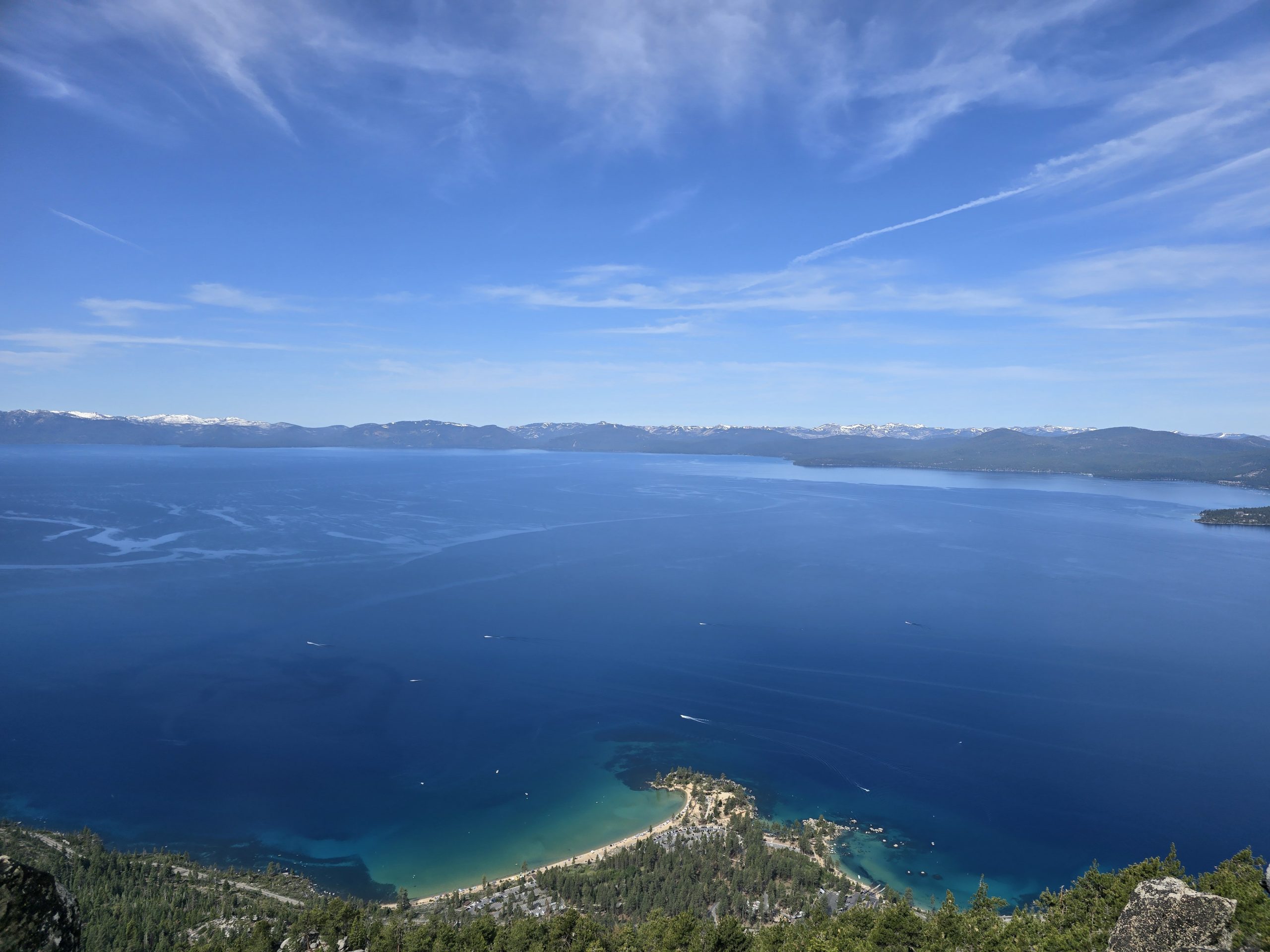
Herlan Peak sits at 8,840 feet on Lake Tahoe’s east shore and can be seen prominently towering above Sand Harbor State Park, offering panoramic views of Lake Tahoe and the surrounding Sierra Nevada. It is the highest peak within Lake Tahoe Nevada State Park.
Hike to Herlan Peak in October 2020
Back in the fall of 2020, my husband and I decided to fit in a lengthy, late-season hike to Herlan Peak on Lake Tahoe’s east shore after a year of putting in hundreds of trail miles. This day-hike would entail 3,000 feet of vertical and over 14 miles round-trip, which is the most mileage we’d accumulated in one day on the trails.
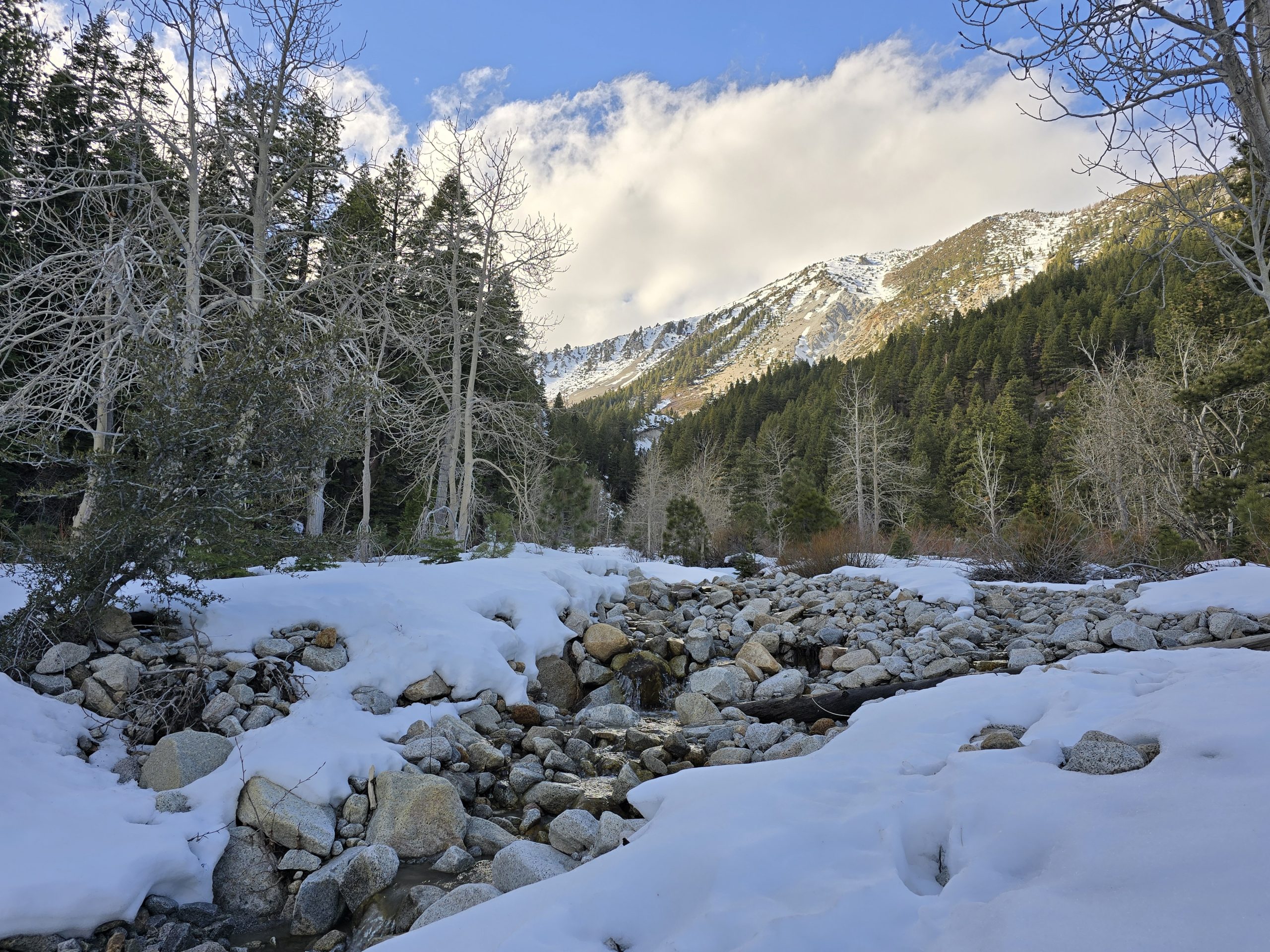
When my husband and I completed the hike in October 2020, I encountered a few struggles, mostly related to the chilly temperatures that day, despite having brought winter layers.
For one, the bite at the end of my water bladder tube froze shut twice on the hike up. Secondly, I had a terrible Reynaud’s attack in my fingers and hands after descending from the peak, where we battled high winds and bitter cold. At any rate, it was an amazing hike despite the conditions, and I always told my husband I wanted to hike it again during the warmer summer months so that I could fully enjoy it.
So far, that return trip hadn’t happened in the past five years, but enter: my friend who brought it up as an option for my birthday hike. RSVP: Yes.
This time, however, we were going to hike to Herlan Peak in mid-June! Needless to say, I was excited for this rerun!
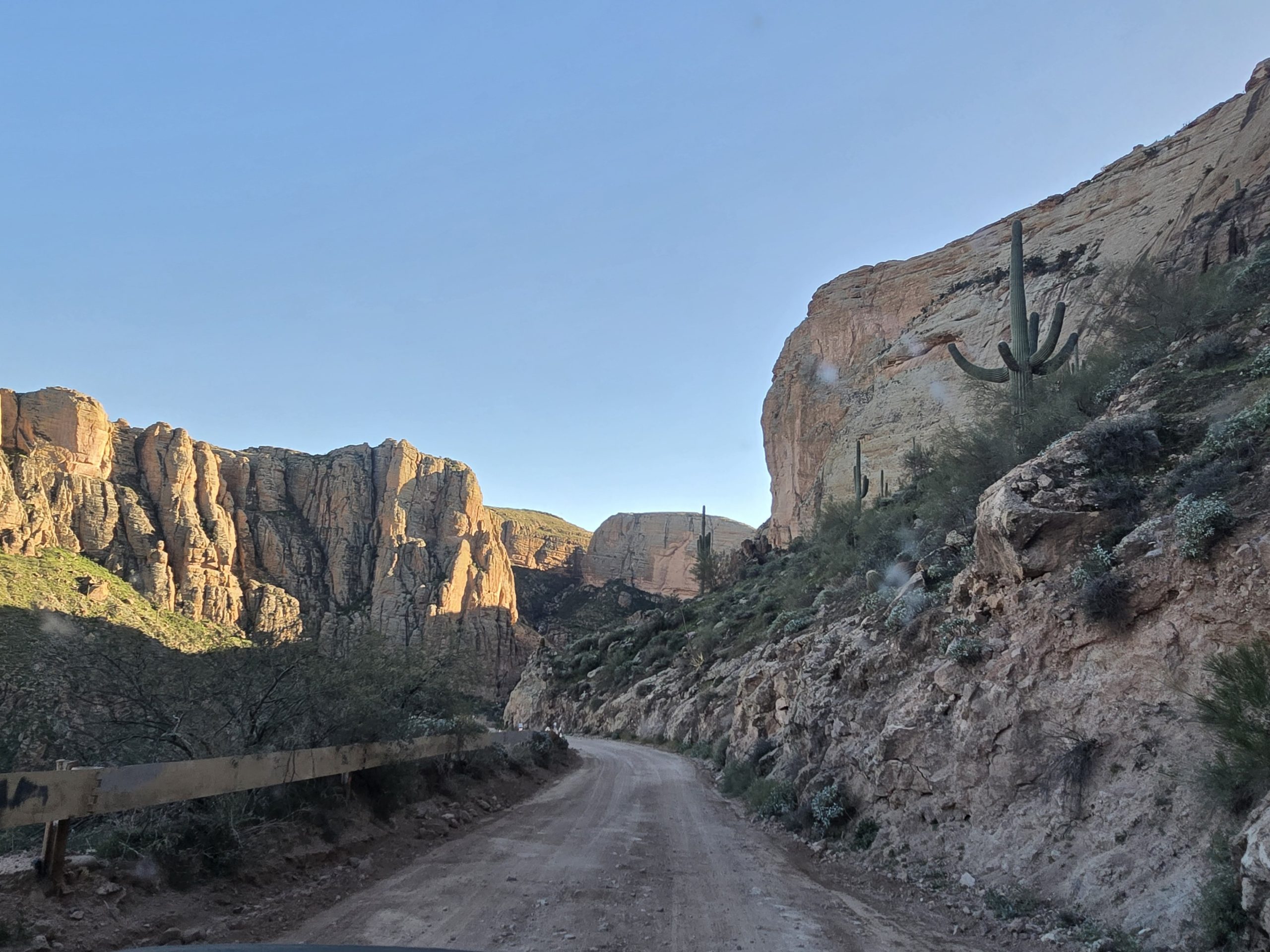
Tunnel Creek Road
We got up early and met at the parking area near Tunnel Creek. It was sunny and beautiful already, with a slight chill in the early-morning mountain air. The route on Tunnel Creek Road up to where it intersects with the Tahoe Rim Trail (TRT) is a very familiar route that I hike in some fashion semi-regularly, either up from Tunnel Creek, or the few times we’ve hiked the TRT from Tahoe Meadows down to Tunnel Creek.
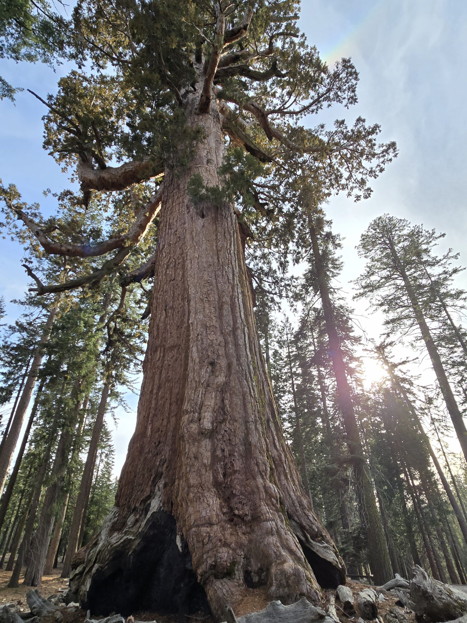
The route up Tunnel Creek Road is basically non-stop ascending with incredible views of Lake Tahoe, past Monkey Rock, past the Mark Twain bench, winding through some aspen groves, through some thicker alpine forest, where it eventually meets an intersection of various trails, including the renowned Marlette Flume Trail.

Hike to Herlan Peak
The trail is mostly dirt with some rocky sections, but overall, it’s great terrain, which makes it easy going, despite all the uphill climbing and the overall distance, of course. But we did run into some leftover snow near the top, which made it a little bit difficult to stay on trail, thus, we ended up wandering around at the top a little bit. 😬


After about seven uphill miles of walking and talking, we made it to the top of Herlan Peak in about 2 hours and 40 minutes.


We took in the incredible views, wandered around a little bit, enjoyed quick snacks, and took photos, then we began our descent. It took us around two hours to descend back down to Tunnel Creek. Not a bad way to spend roughly five hours of a beautiful June day in Tahoe.

Tunnel Creek to Herlan Peak Hike Stats

| Herlan Peak hike | |
|---|---|
| Total Distance | 14.89 mi |
| Total Time | 5:43:09 |
| Total Ascent | 2,956 ft |
| Max Elevation | 8,842 ft |
Leave a Reply