
While spending a few winter days with my husband’s Minnesotan aunt and uncle in the warm Arizona sun (after completing yesterday’s short hike to Wave Cave), we decided to do the 5-mile Boulder Canyon hike located in Superstition Wilderness of Tonto National Forest, near Canyon Lake, a 950-acre reservoir.
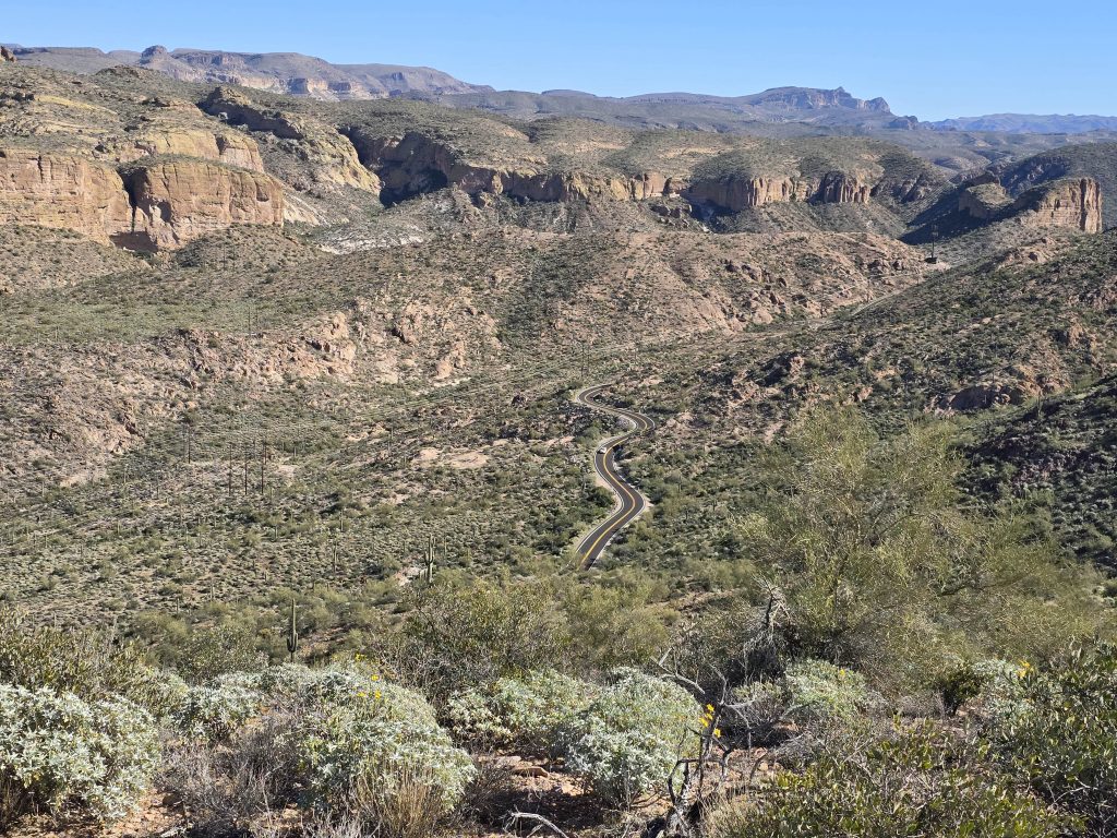
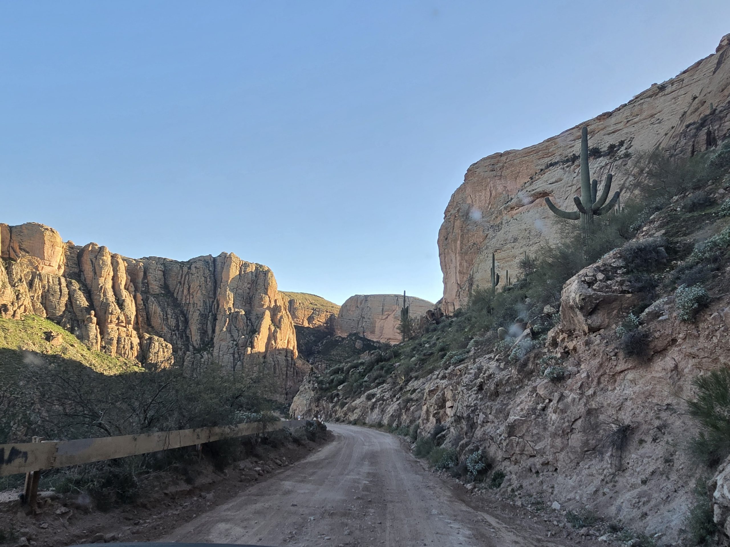
The trailhead for the Boulder Canyon hike is about 15 miles from Apache Junction (or 45 miles from Phoenix) along Hwy 88 (“Apache Trail”), a very scenic, winding road east of Phoenix. Our home base for this trip was in Gold Canyon, and it took us about 30 minutes to drive to the Canyon Lake Vista, and then another 10 minutes beyond that to get to the trailhead near Boulder Recreation Area.
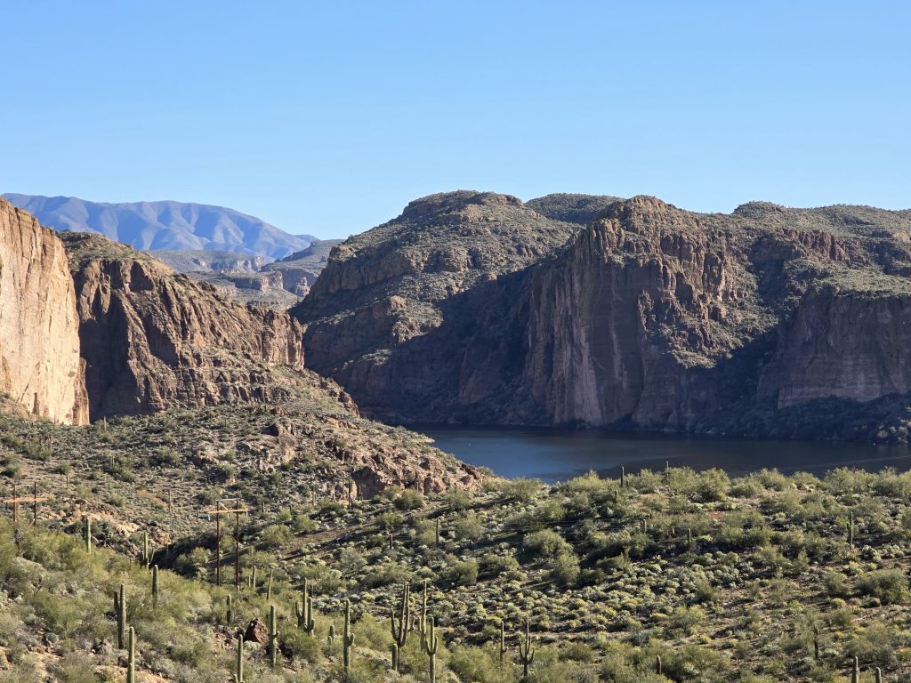
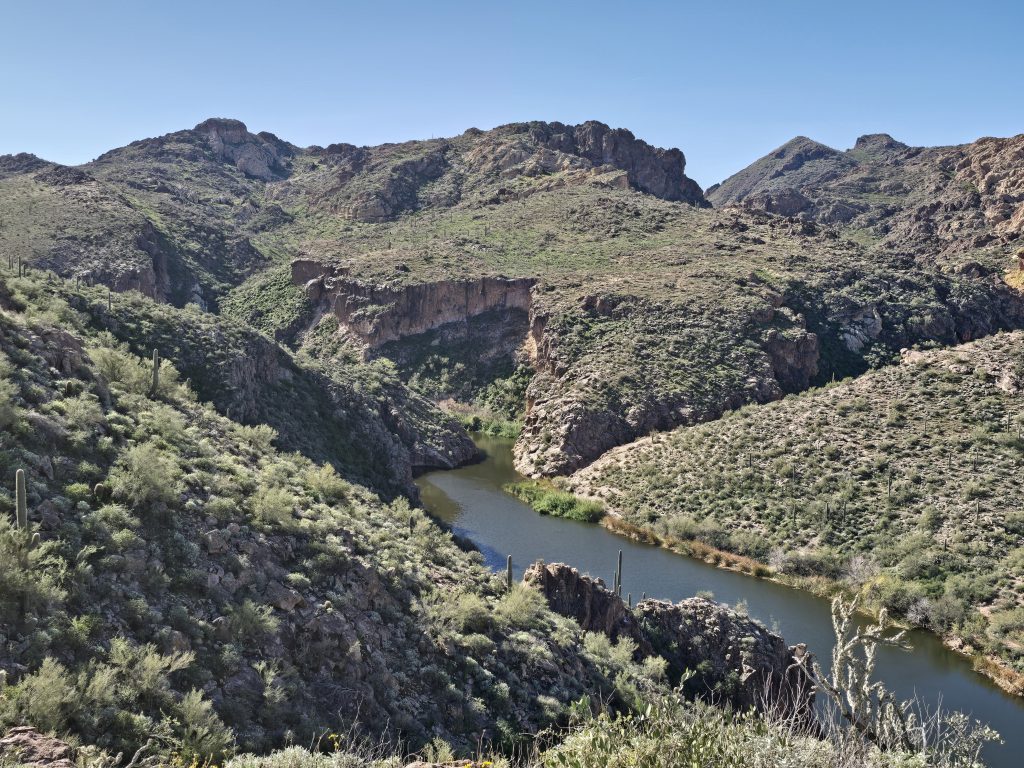
Canyon Lake Vista on Apache Trail
On our way along the Apache Trail, we made a brief stop at the picturesque Canyon Lake Vista.
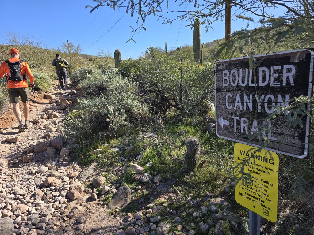
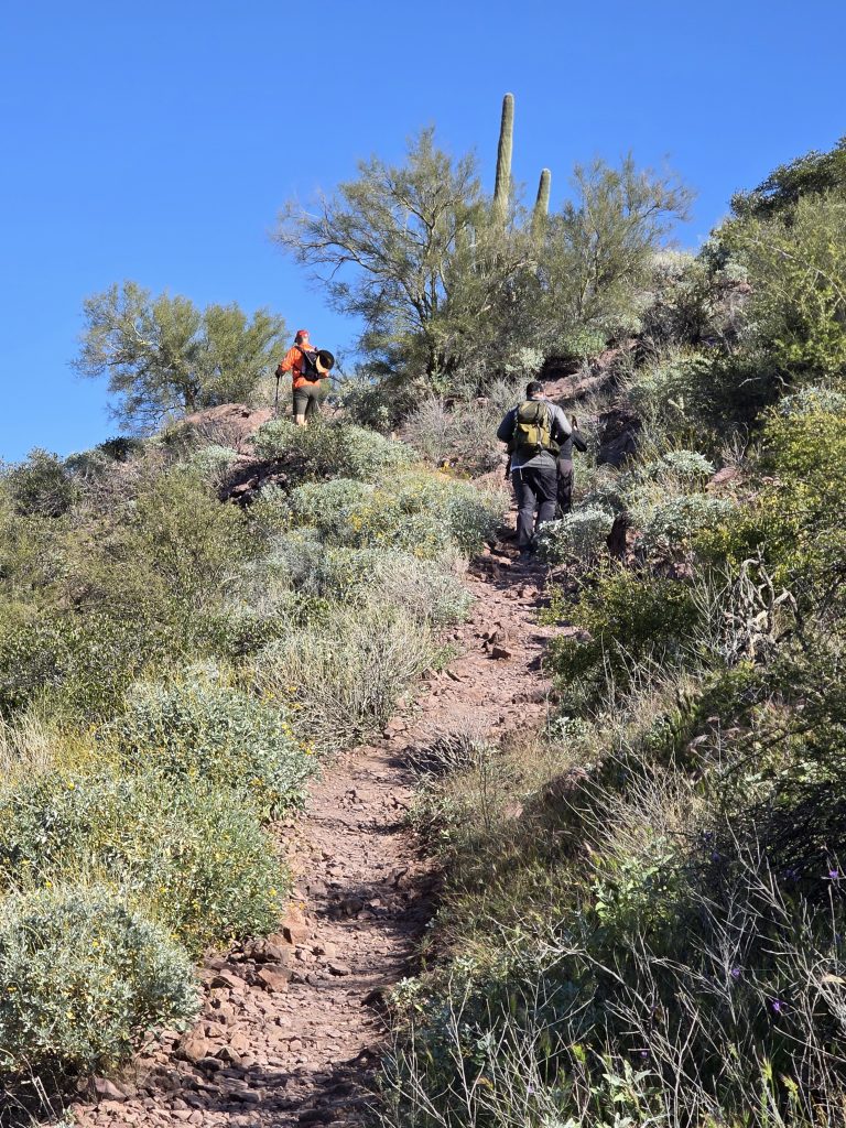
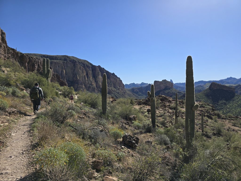
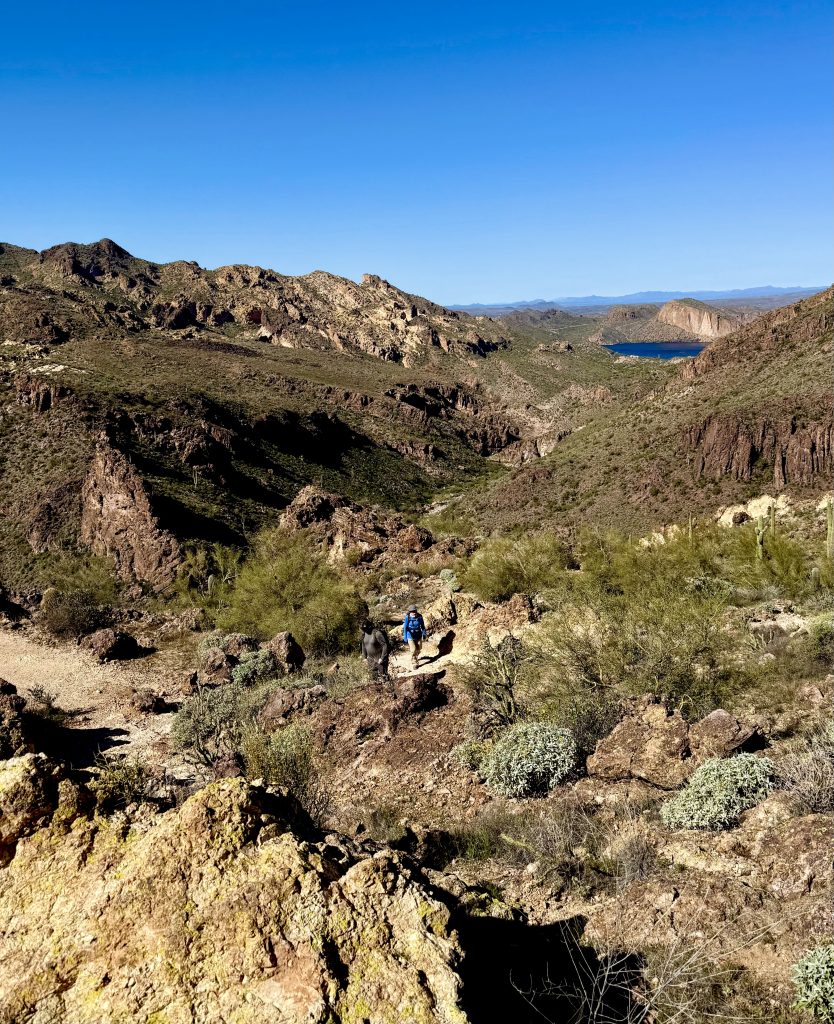
Boulder Canyon Hike
As far as parking at the trailhead for the Boulder Canyon hike, we’d planned on parking in the lot at the marina across the highway from the trailhead, but at the marina entrance were large “marina parking only” signs, so we ended up parking at the Boulder Recreation Area and then walking the additional short distance to the trailhead from there. It wasn’t a terrible workaround, but it did require walking along the narrow highway with the one-lane Boulder Creek bridge.
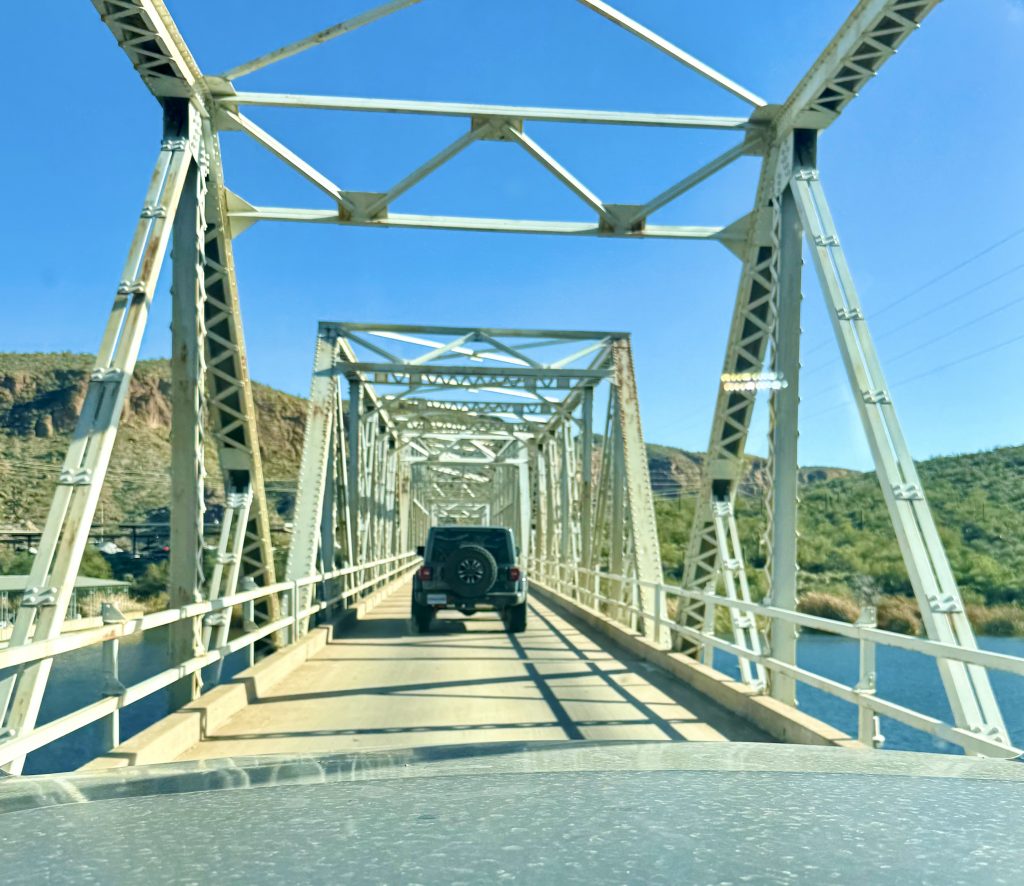
Other hikers and reviewers have said that the marina allows 10 parking spaces for hikers, but we did not know this at the time, so we just added some extra steps to our day, got to enjoy the wildflowers along the road, and peeped the cormorants in the creek at the bridge crossing.
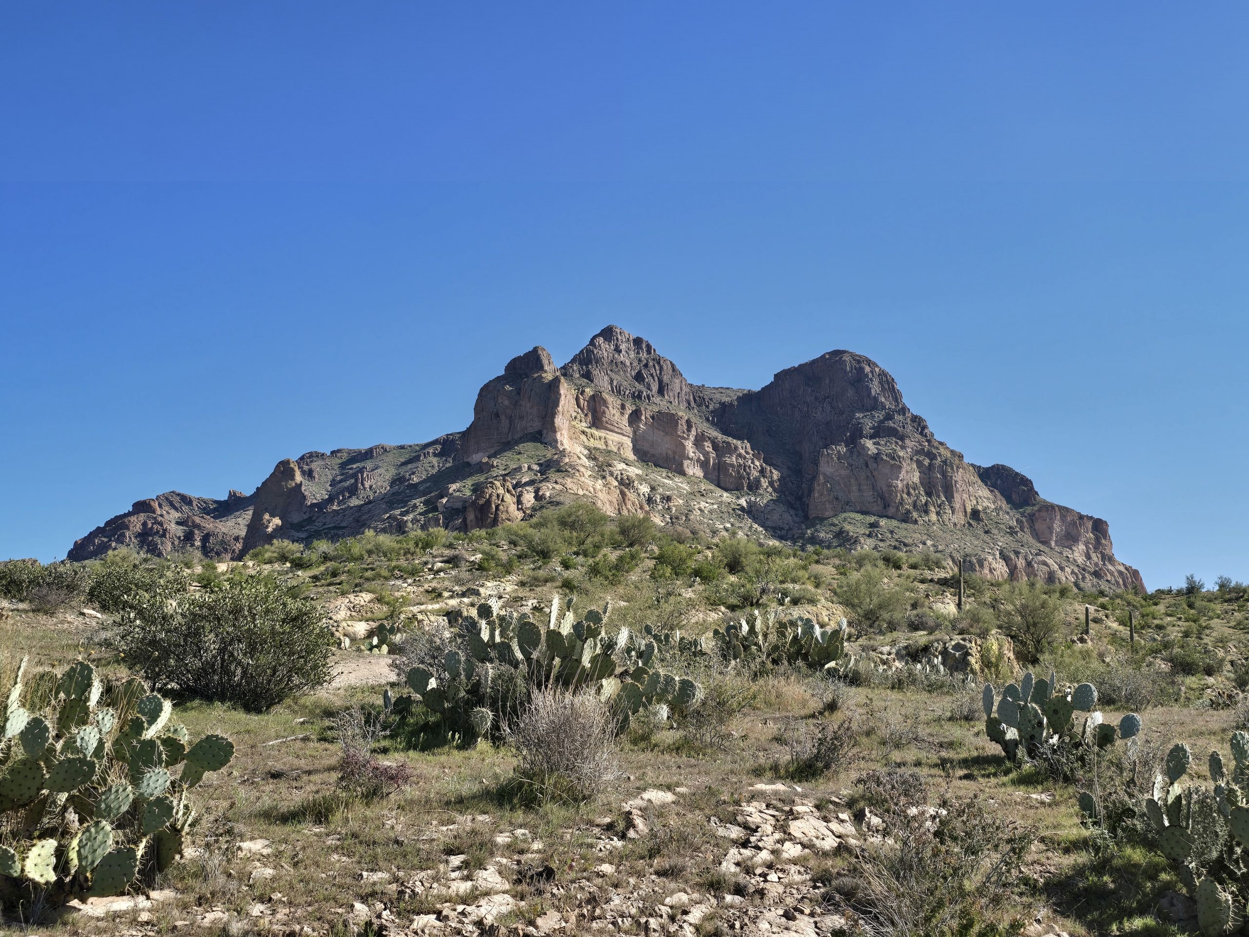
Sights on the Boulder Canyon Hike
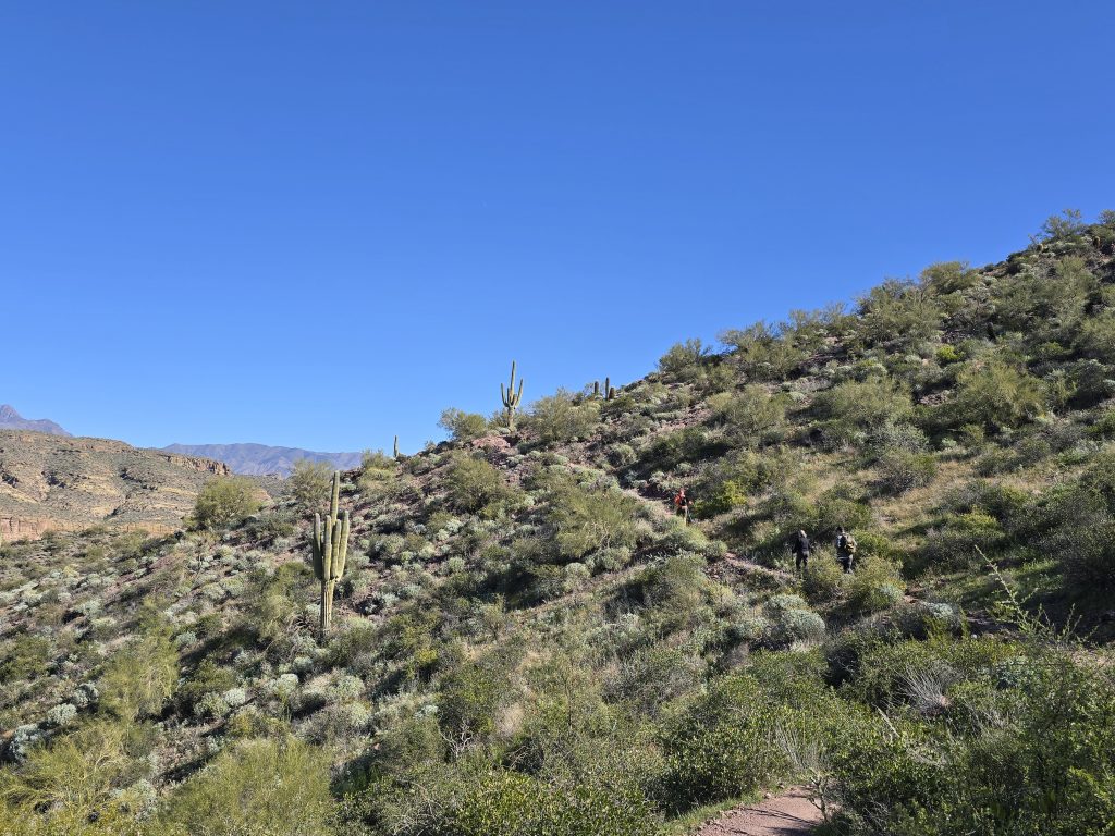
This out-and-back route that leads to an amazing vista of Boulder Canyon was fairly rocky throughout, with sections of varying ascent and descent, but overall, a moderate hike. Since we hiked it in late January, the daytime temperatures were in the very tolerable 60s. It would be a very hot hike during the summer months, as the entire trail is fully exposed.
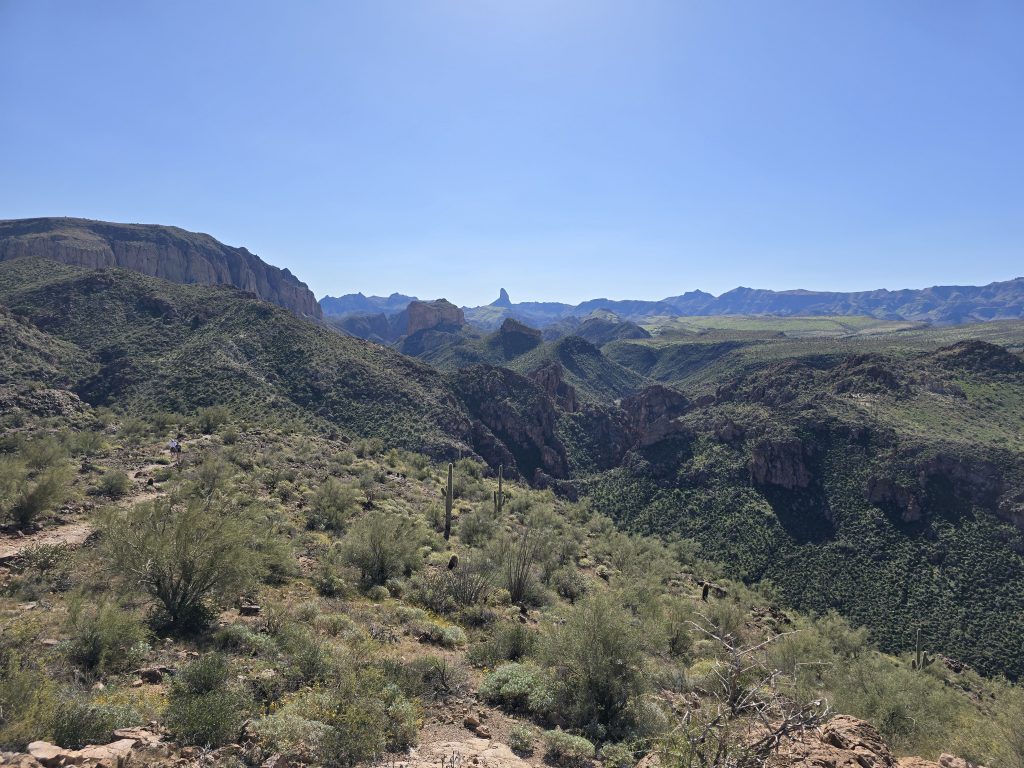
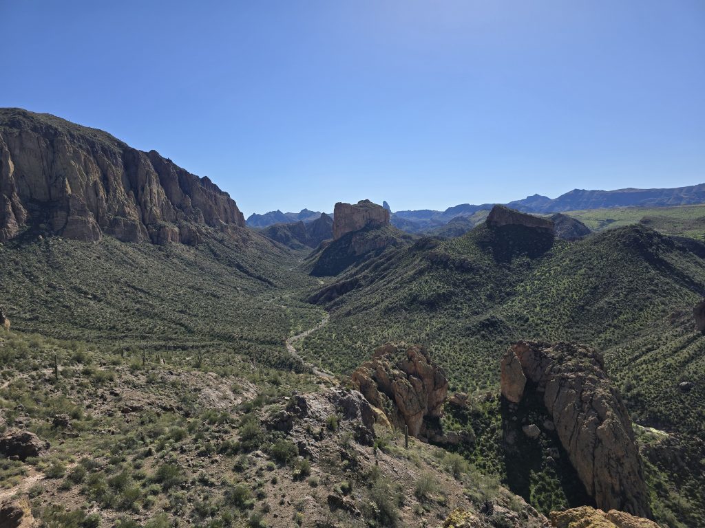
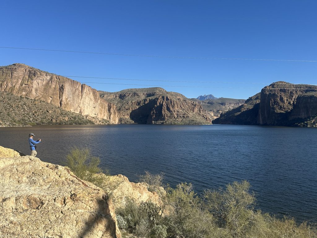
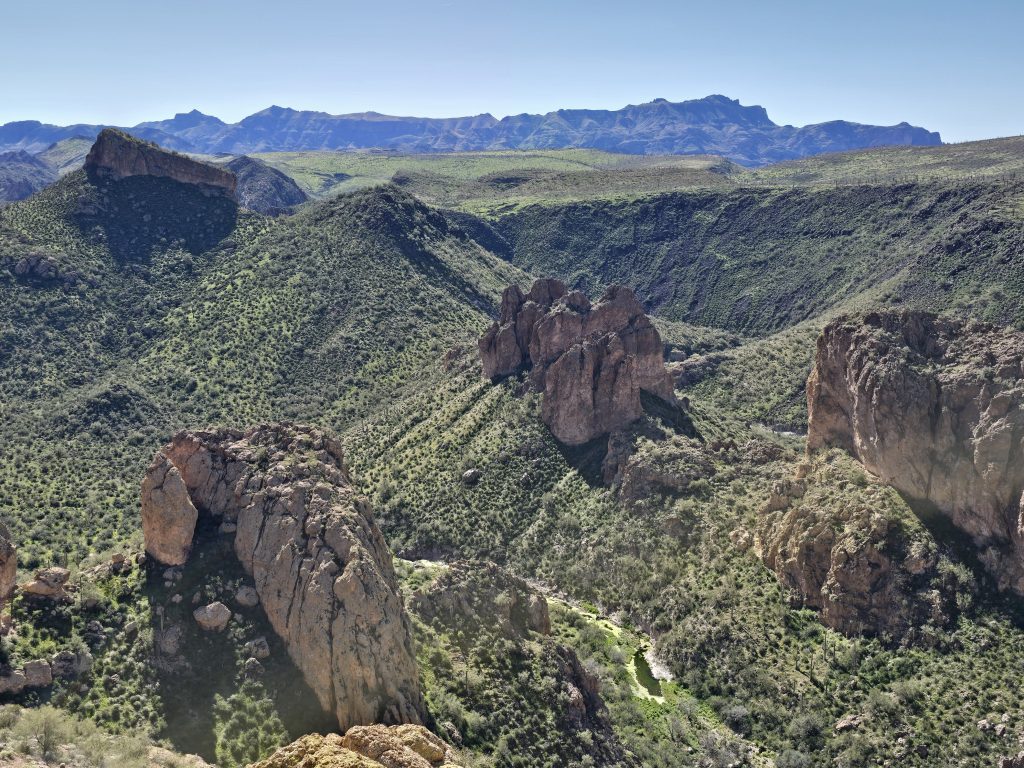
Boulder Canyon Vista
At our turnaround point for this hike was an incredible vista overlooking Boulder Canyon and beyond. The trail continues past the vista point, but for today’s hike, this was our destination.
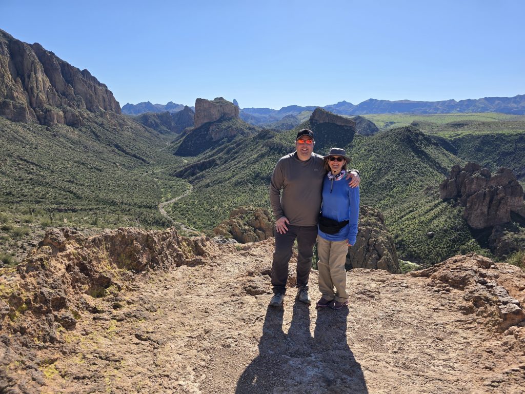
We took a break at the vista, enjoyed some snacks, and took in the views.
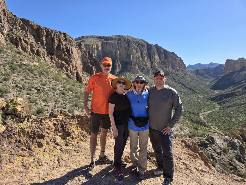
Shortly after reaching the vista, another couple joined us. We learned they were on vacation… from Minnesota. 😂 The wife was not fond of the heights at this vista, but they offered to take our group’s photo, and then we took theirs.
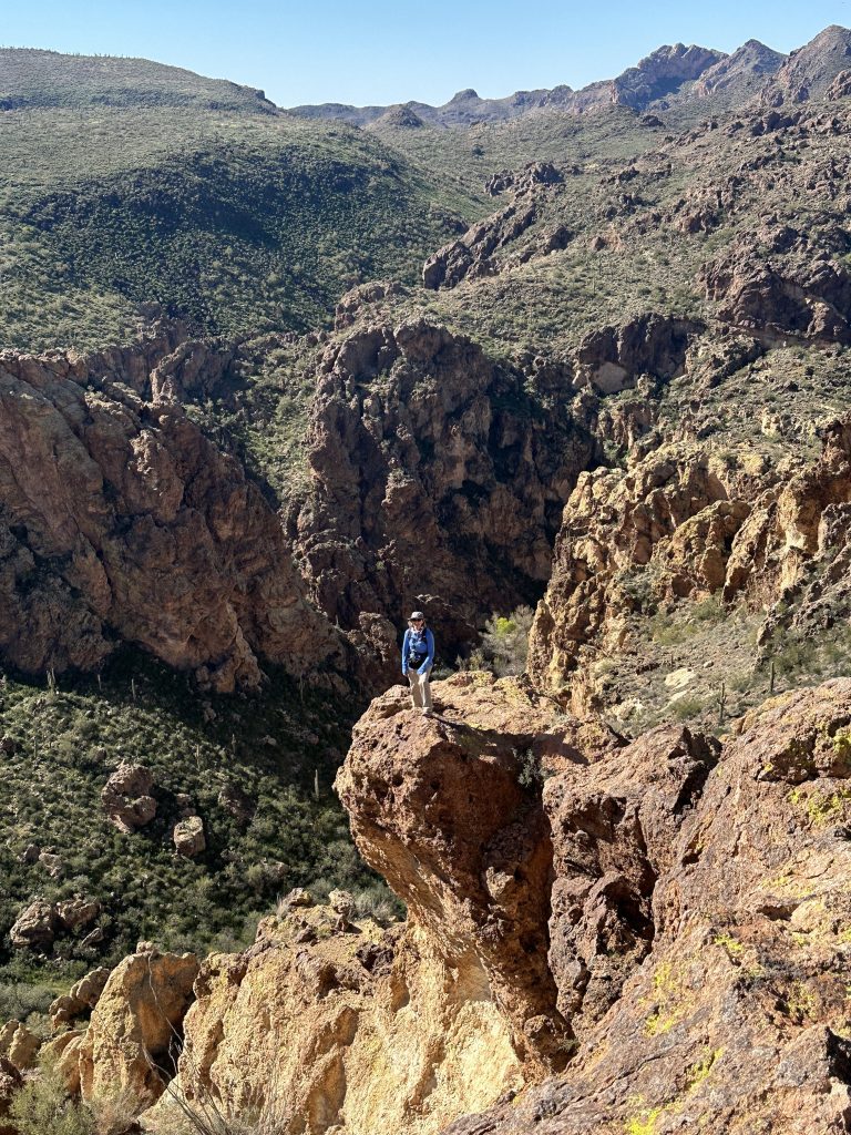
And, of course, I found a rock ledge to climb out to in the canyon.
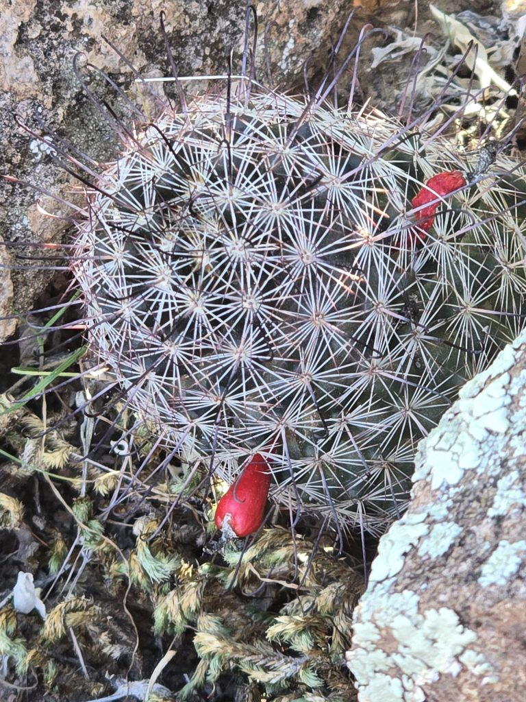
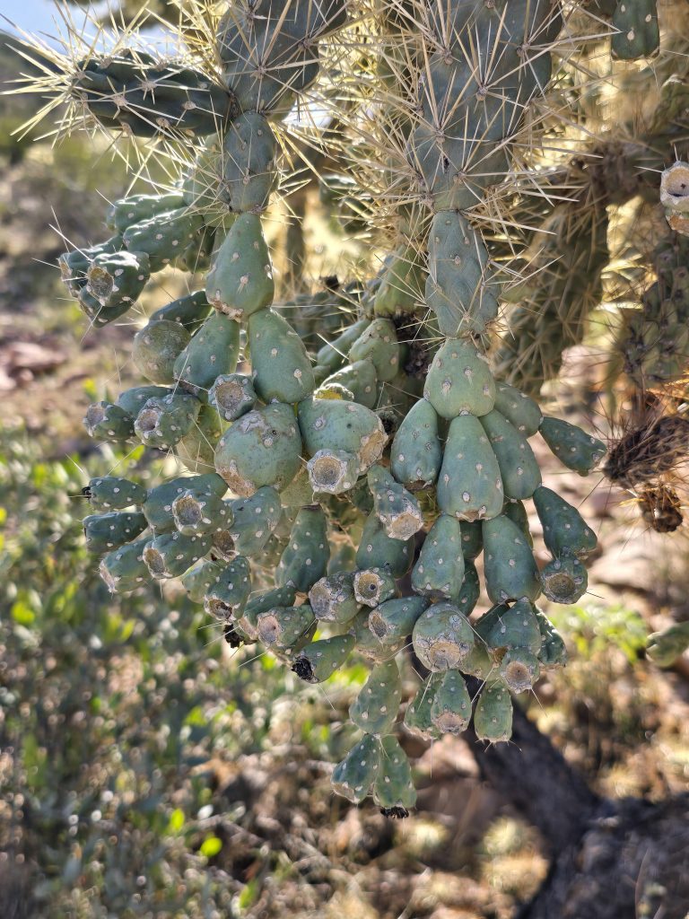
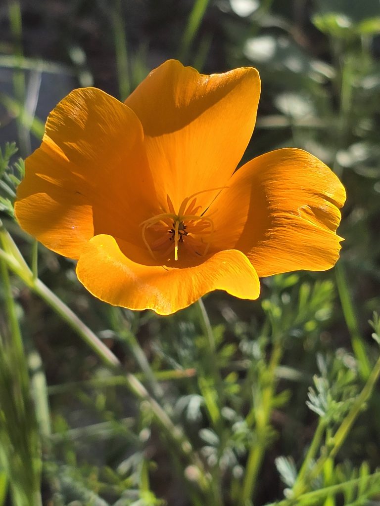
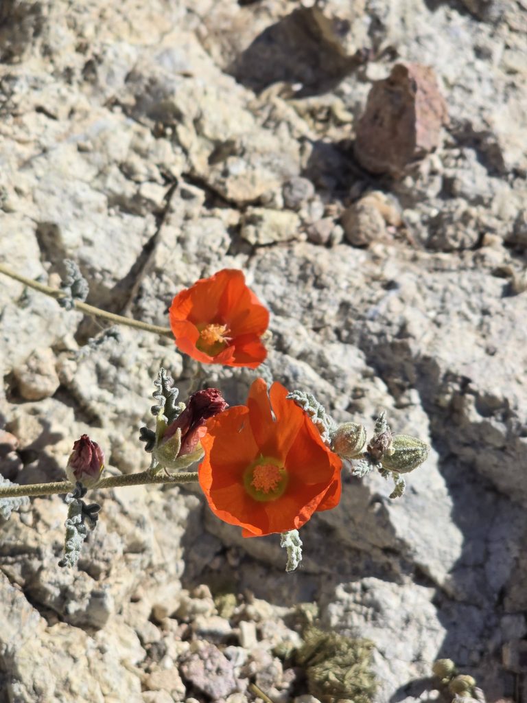
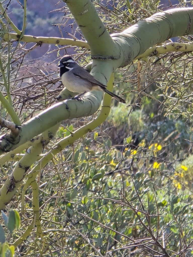
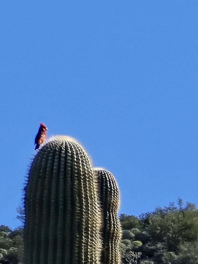
Plants and Wildlife Along the Trail
It was fun being surrounded by myriad desert flora and fauna on this hike, including “fruiting” Arizona fishhook pincushion cacti, jumping cholla, ocotillo, creosote, palo verde, bright California poppies and globe mallow, and, of course, saguaro cacti.
We also spotted a black-throated sparrow as well as a male cardinal that made me think of my late grandparents.
We made our way back down to the trailhead, starting to feel the incoming hot afternoon sun on this zero-shade desert trail, but thankful we were there in January rather than July!
Boulder Canyon Hike Stats
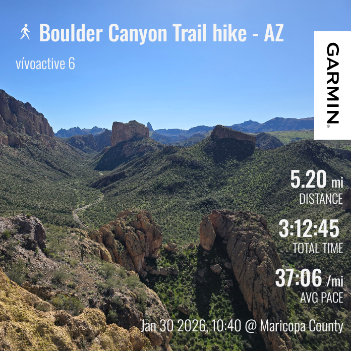
| Boulder Canyon hike | |
|---|---|
| Total Distance | 5.2 mi |
| Total Time | 3:12:45 |
| Total Ascent | 1,247 ft |
| Max Elevation | 2,351 ft |
Leave a Reply