The mountains around Tahoe saw a bit of early-season snow in mid-October, so for our hike this weekend, we traveled to a lower elevation to hit the Salt Springs Reservoir hike. We chose an 11-mile round-trip out-and-back route that runs along the northern shore of the reservoir with over 1,600 ft. of vertical gain. Eventually, it leads to a small lake called Blue Hole, a part of the North Fork Mokelumne River.
Salt Springs Reservoir Hike Trailhead Location
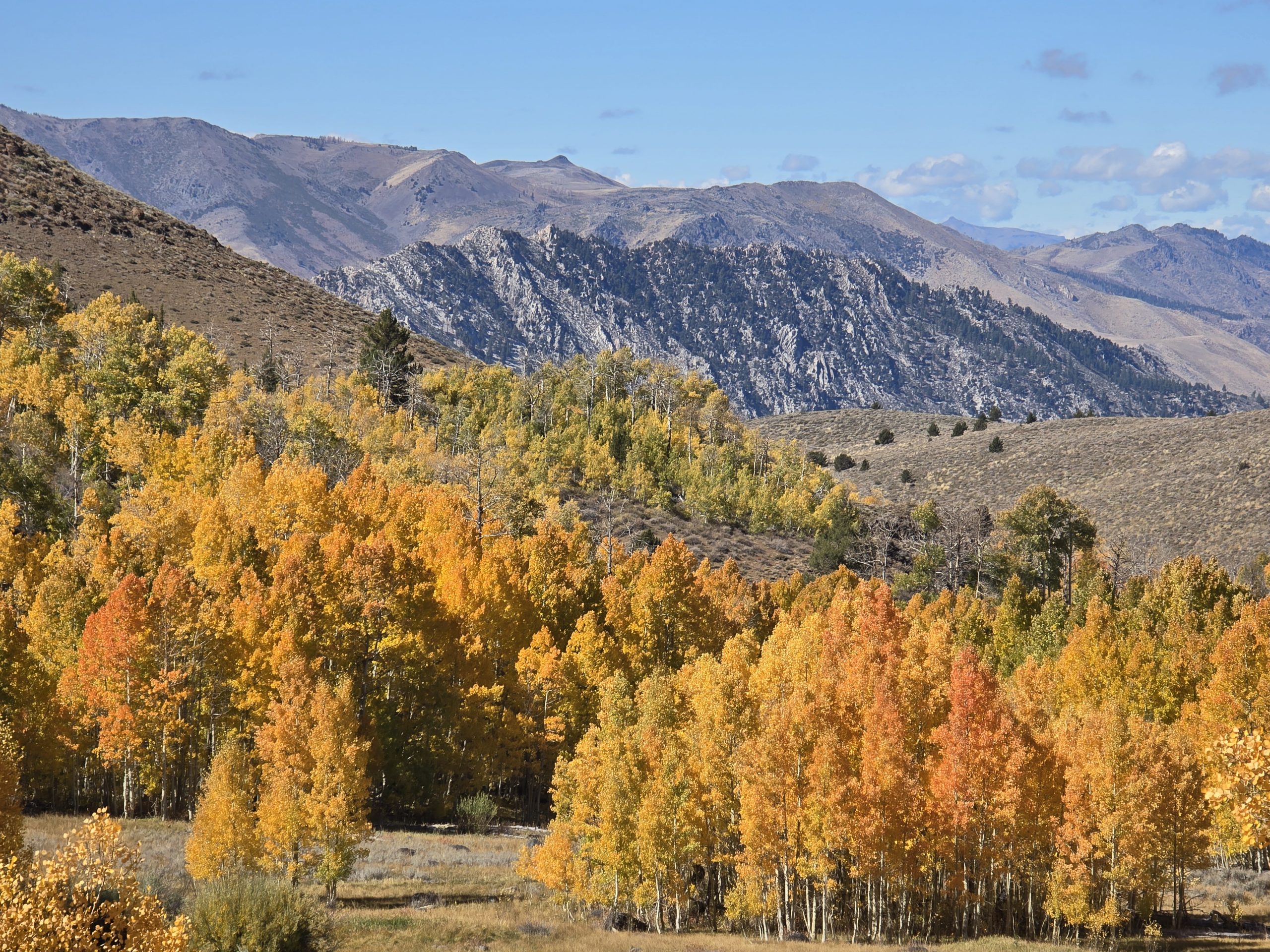
The Salt Springs Reservoir is located south of Lake Tahoe, between highways 88 (Carson Pass) and 4 (Ebbetts Pass), and is a part of PG&E’s hydroelectricity production. Several vehicles were parked near the trailhead when we arrived, so we expected to see maybe a few others out on the trail. Some of the people had stopped there to have a family picnic.
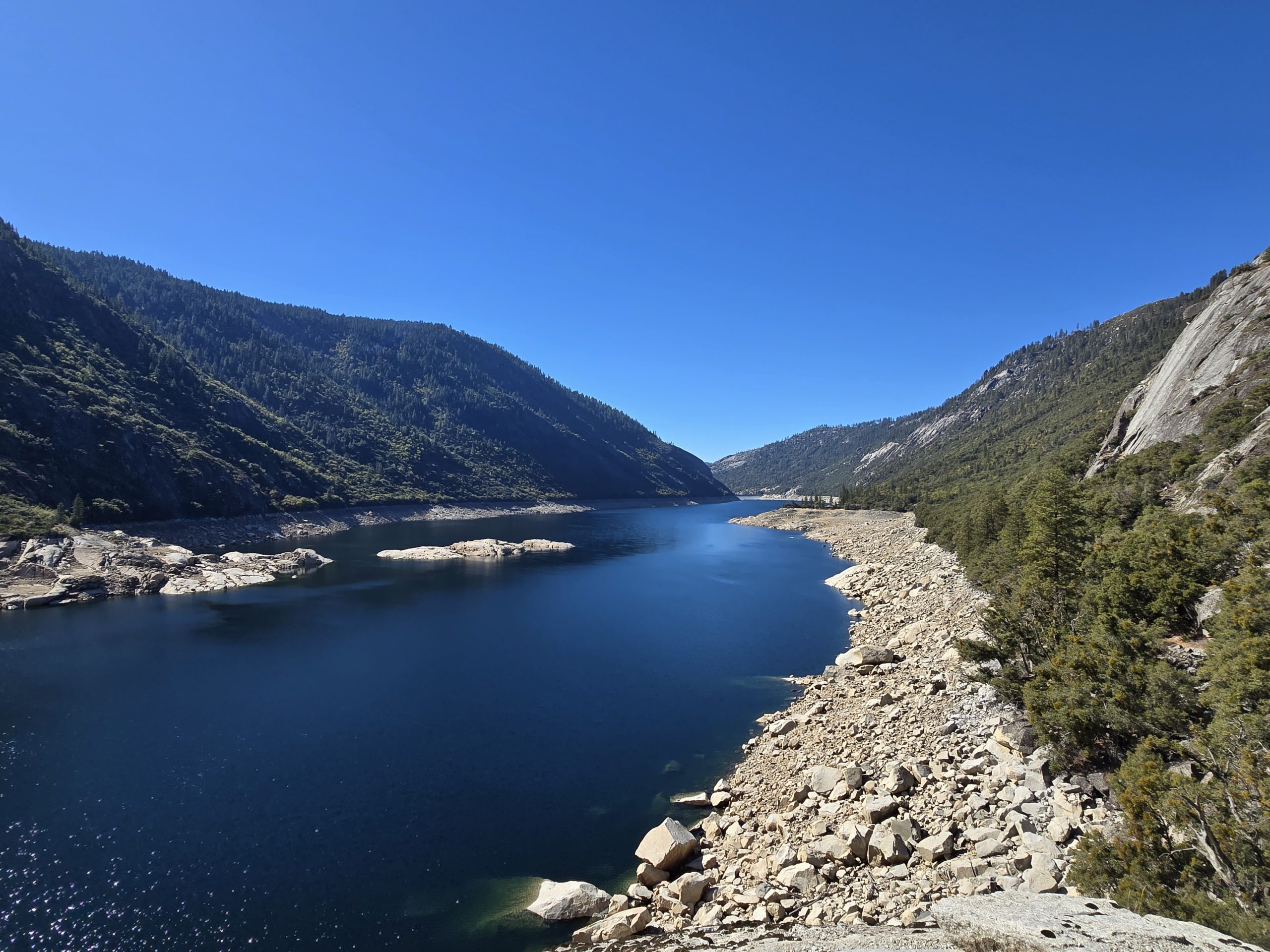
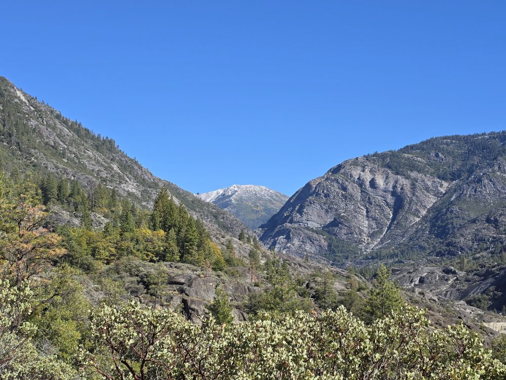
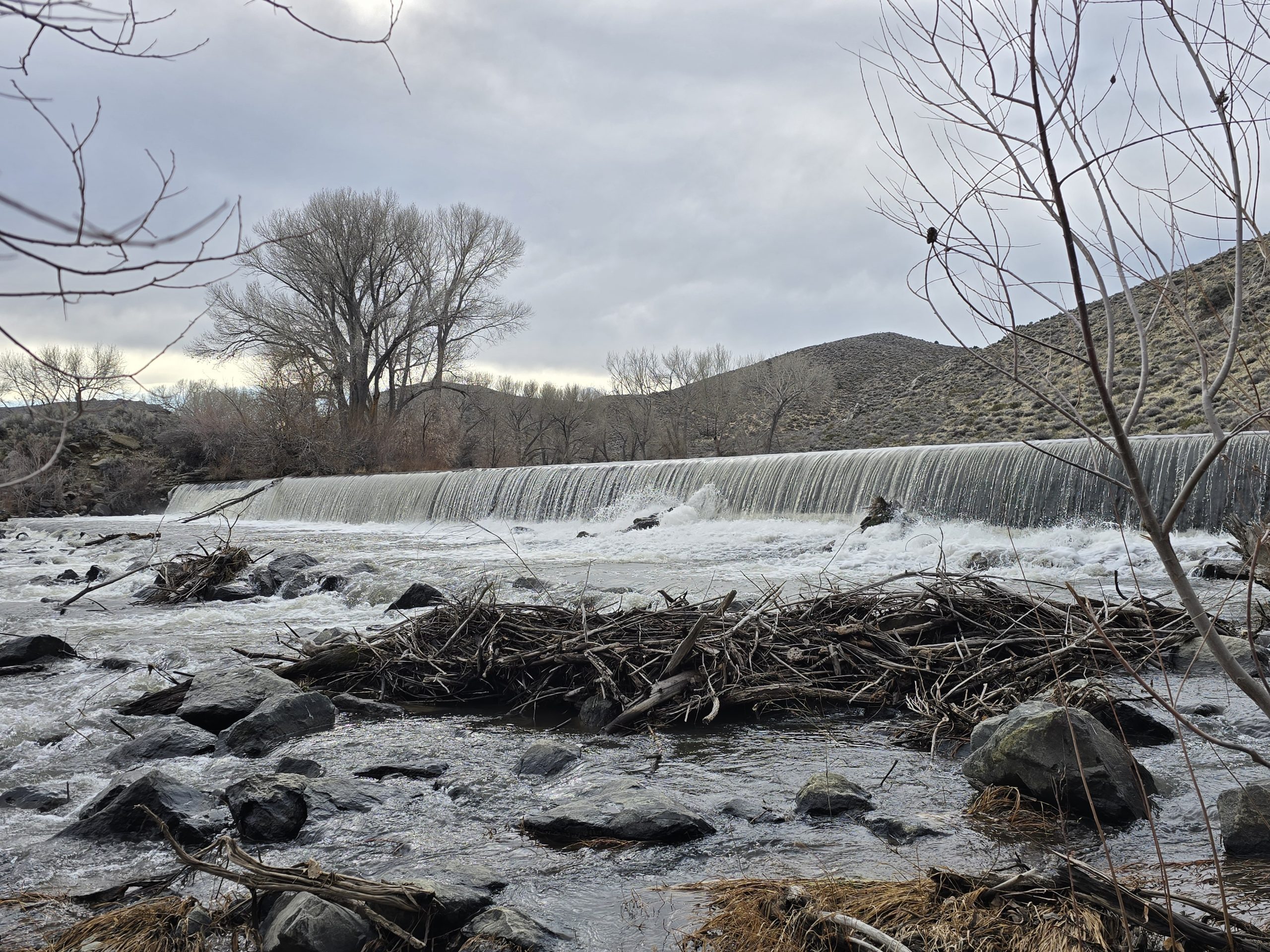
At the trailhead for Salt Springs Reservoir hike is a 332-foot-tall concrete dam, but if you can ignore that 😂, it’s kind of a pretty little canyon. The trail is located within Mokelumne Wilderness and Eldorado National Forest.
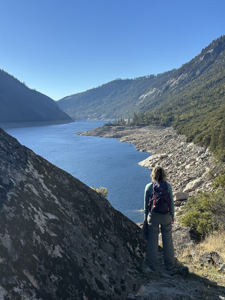
A little over halfway to the end of the reservoir, looking back, you could hardly tell it was man-made. Reservoirs can be pretty in their own way, but nothing beats a natural alpine lake.
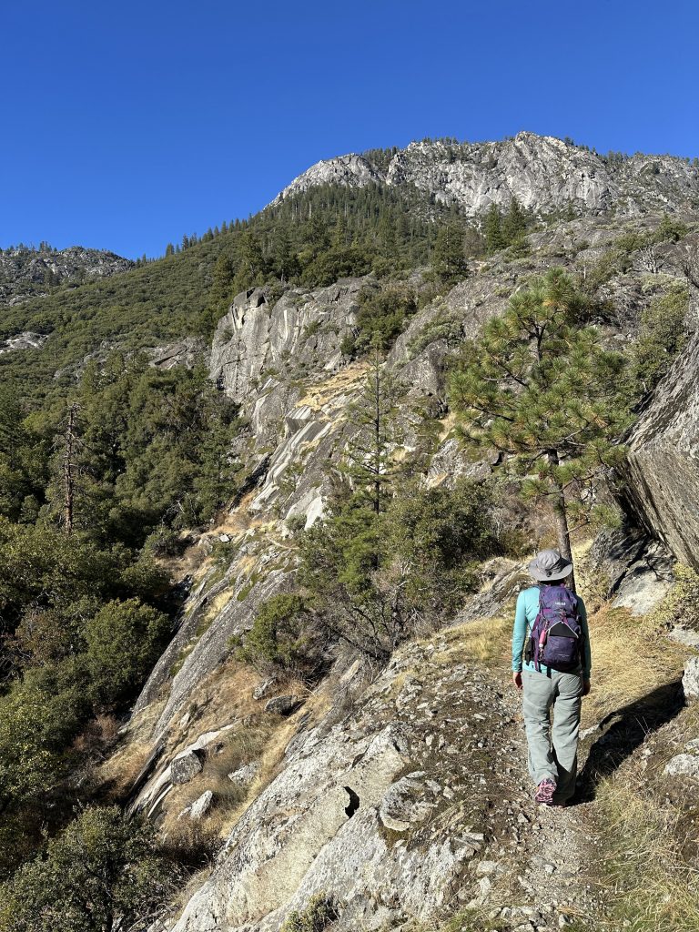
Salt Springs Reservoir Hike Trail
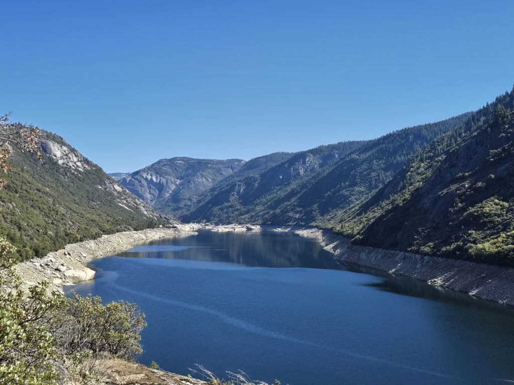
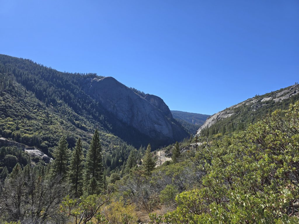
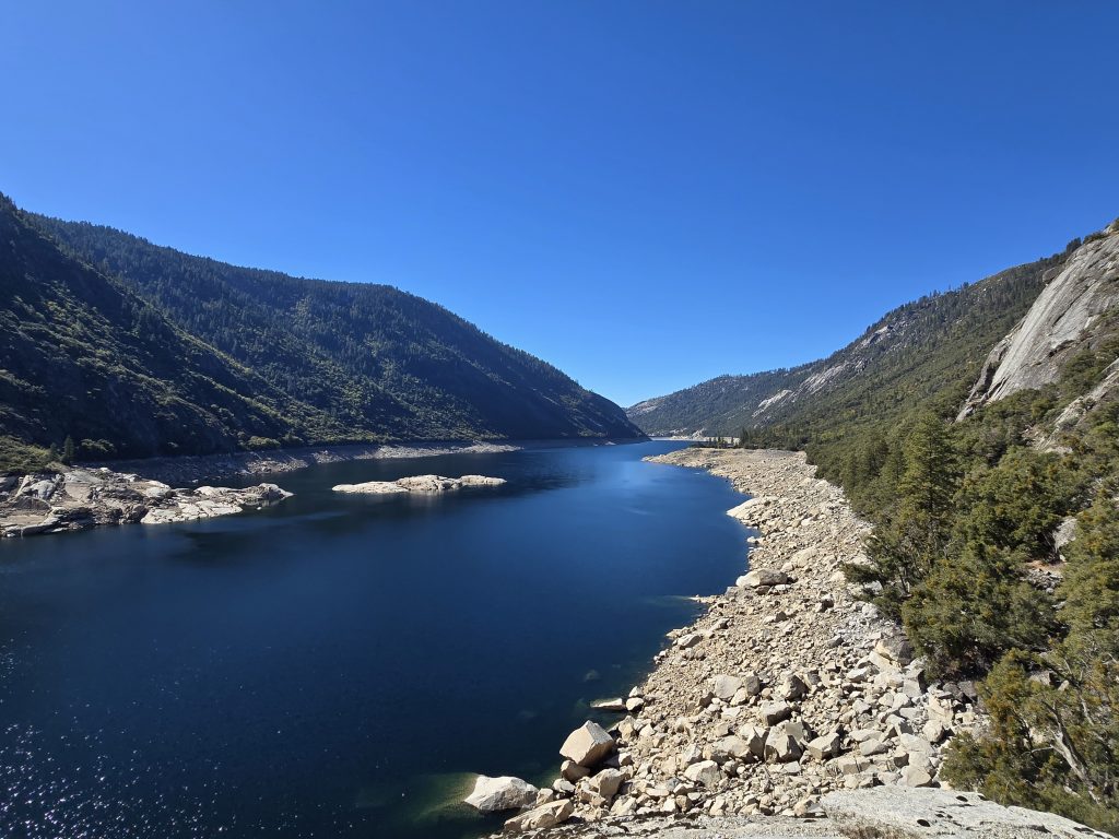
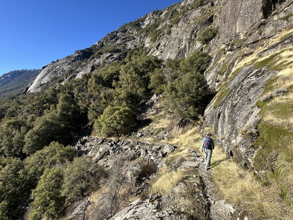
We passed through fully exposed areas where it felt quite warm in the sun. Some sections were shaded under the cover of tall bushes and deciduous trees. The majority of the hike followed the northern shoreline of the reservoir, and once we passed the end of that, it turned into the river with lots of large boulders, drop-offs, and a few cascades. But the hike afforded beautiful canyon views in both directions.
The Salt Springs Reservoir hike trail had a number of various inclines and declines with very few flat areas, and I would say the majority of the trail terrain was some degree of rocky with some areas of compressed sand or grass. Several sections were quite rocky, in fact, including what seemed to be stretches of river rock or creek bed bottom. Needless to say, despite only 1,600 ft. of vertical, it felt like a fairly strenuous hike – both directions, since it was an out-and-back route.
Here’s a visual representation of the numerous elevation variances we encountered on this route.
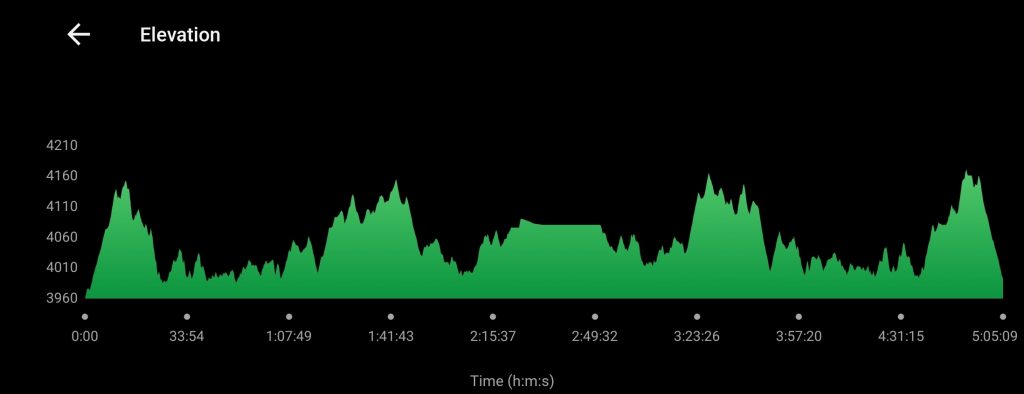
The flat area in the center of the chart was our turnaround point, where we rested and had snacks before heading back to the trailhead.
Bugs & Birds!
I also think I wasted a lot of energy swatting bugs on this hike. That can be one of the downfalls of hiking at lower elevation; it is a lot more likely that you’ll encounter bugs. Thankfully, these weren’t mosquitoes but were some kind of small gnat that hung out in swarms and would frequently land on my face, in my nose or mouth, and float around my head.
When I moved my arms around to shoo them away as I progressed, I could feel dozens of bugs hitting my arms as they swung through the air. Oddly, my husband wasn’t nearly as bothered by these bugs as I was on this hike. I even had him hike ahead of me for a while, in case that was the issue, but it didn’t seem to matter. Unfortunately, the bugs continued to bug me for most of the hike.
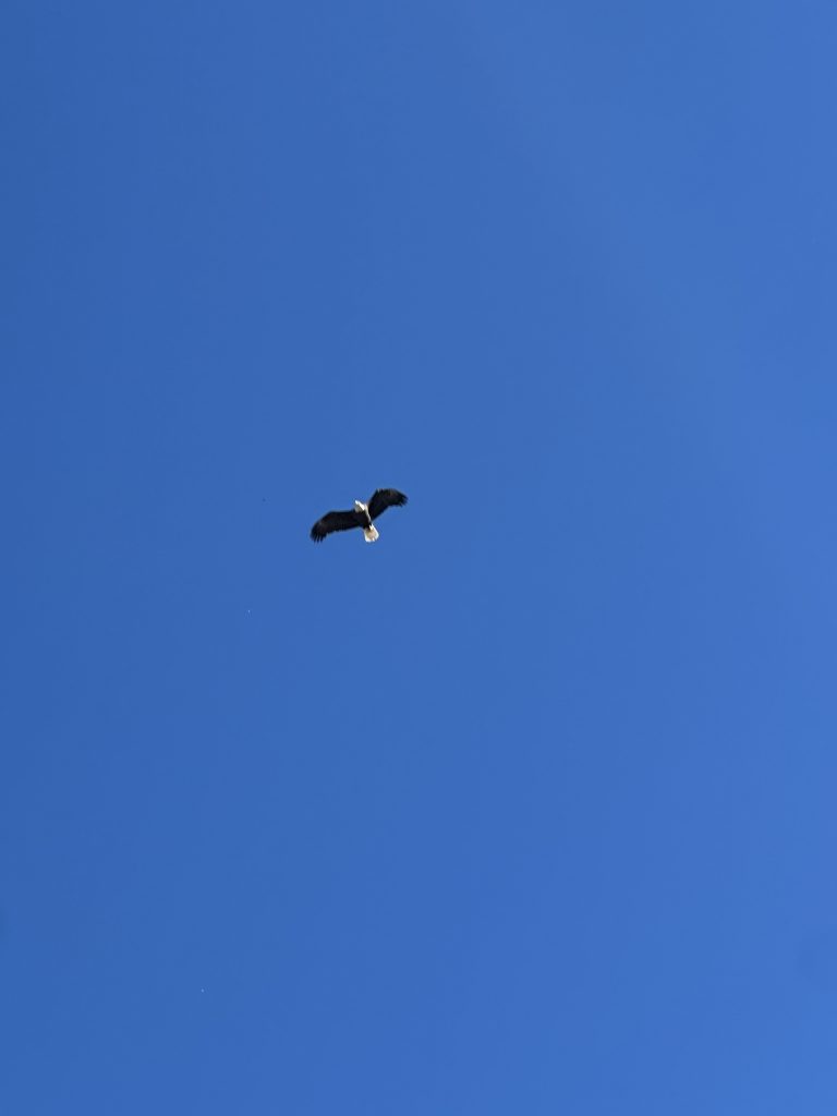
On the bright side, as we wound through a particularly rocky section of shelf trail and between some big boulders, I happened to look up at a tree ahead of us and spotted a bald eagle perched at the top! In seconds, it took flight and flew just feet above us. It all happened so quickly that I couldn’t even get my phone out in time to capture a photo or video of it, but luckily, my husband was able to get one quick shot. What a treat that close-up sighting was!
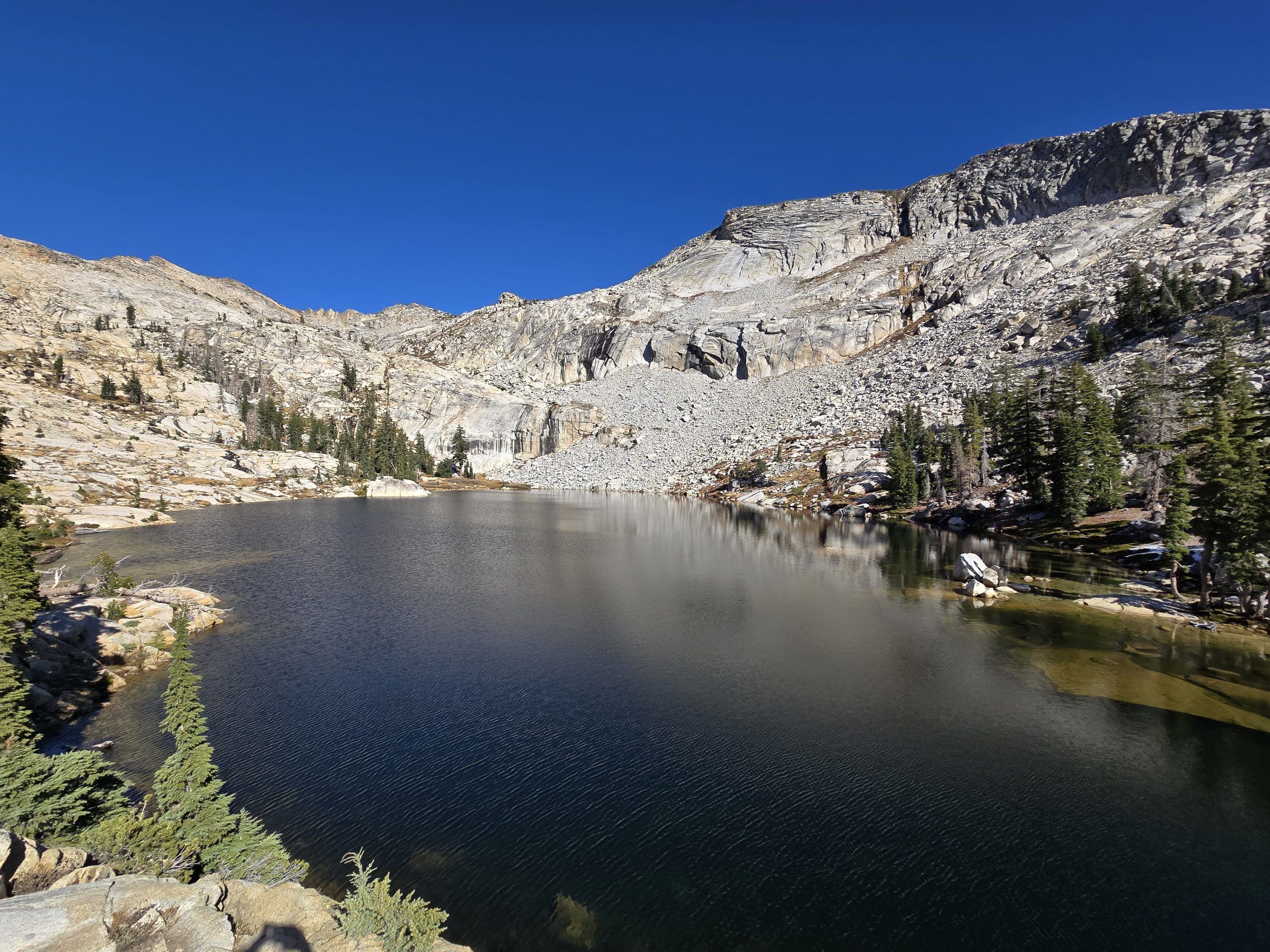
Reaching Blue Hole Destination
To our surprise, we did not encounter any other hikers on this trail, despite seeing numerous vehicles at the trailhead. At one point, however, several miles in, we were surprised to come upon one guy and his dog tent-camping near the North Fork Mokelumne River. They were set up only feet from the trail, and it felt like we were walking through their campsite. (I was actually considering asking him if he had any bug spray!)
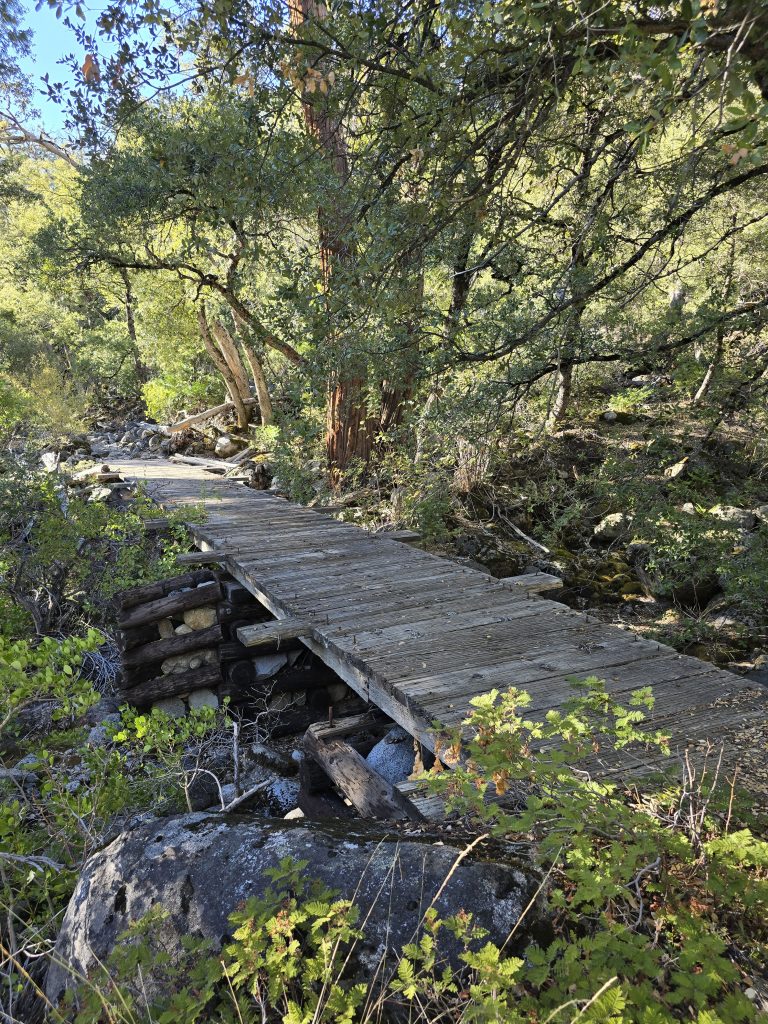
A mile or so before reaching our destination near Blue Hole, the trail became very obviously less traveled, and we did need to double-check that we were still headed in the right direction. As we got closer to our destination, we had a bunch of large boulders ahead of us, and the designated trail was no longer clear. We ended up climbing up the boulders as carefully as we could, finding makeshift foot and hand holds to assist.
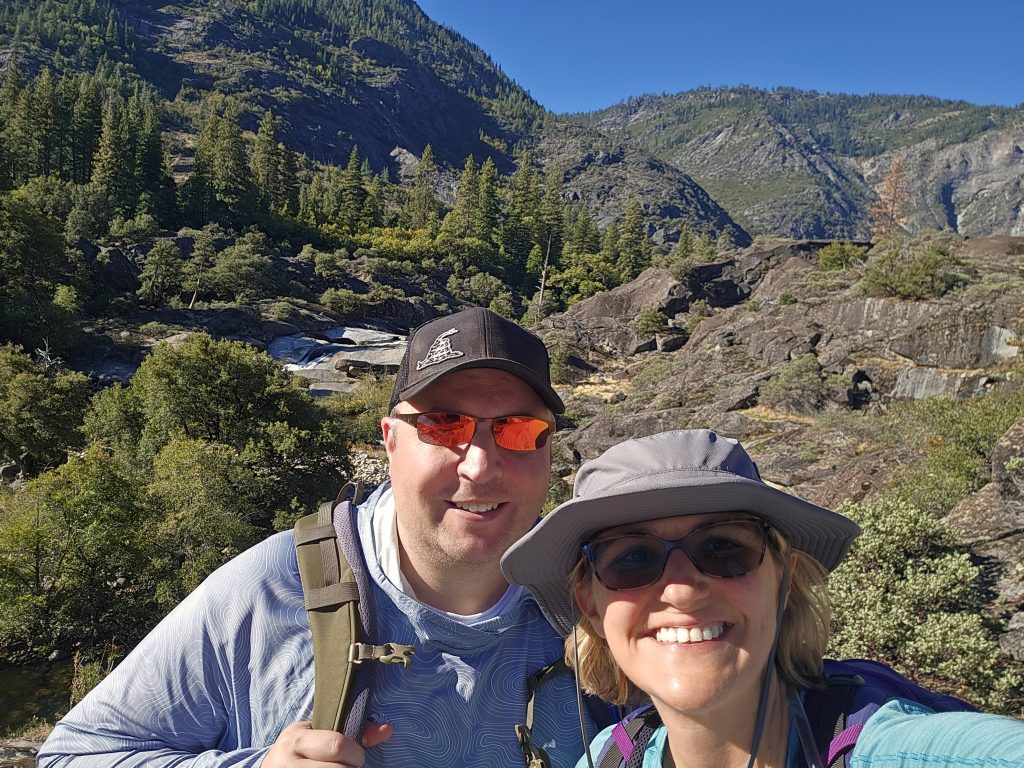
After 5.5 miles of hiking in, we landed on a relatively flat spot at the top and sat down to have some snacks. It was very peaceful, with the sounds of cascades rushing in the distance. I eventually lay back on the warm rock and took a short nap in the sun. Such relaxation!
Return Route on Salt Springs Reservoir Hike
We knew what lay ahead of us on the hike back to the trailhead: The series of ups and downs, the rocky terrain, the bugs (ugh), and the waning daylight brought by October. So, we hustled as best we could with fatigued legs (and my arms were getting a workout from swooshing away bugs!) to make good time.
We did get warm on the hike, as well, and in a few spots we’d catch a nice breeze, like at this overlook of the reservoir.
Wildlife Sighting
With only a couple of miles remaining, I was really hustling along to reach the end, so I had gotten quite a distance ahead of my husband on the trail. And something off to the left of the trail caught my eye and made me stop in my tracks.
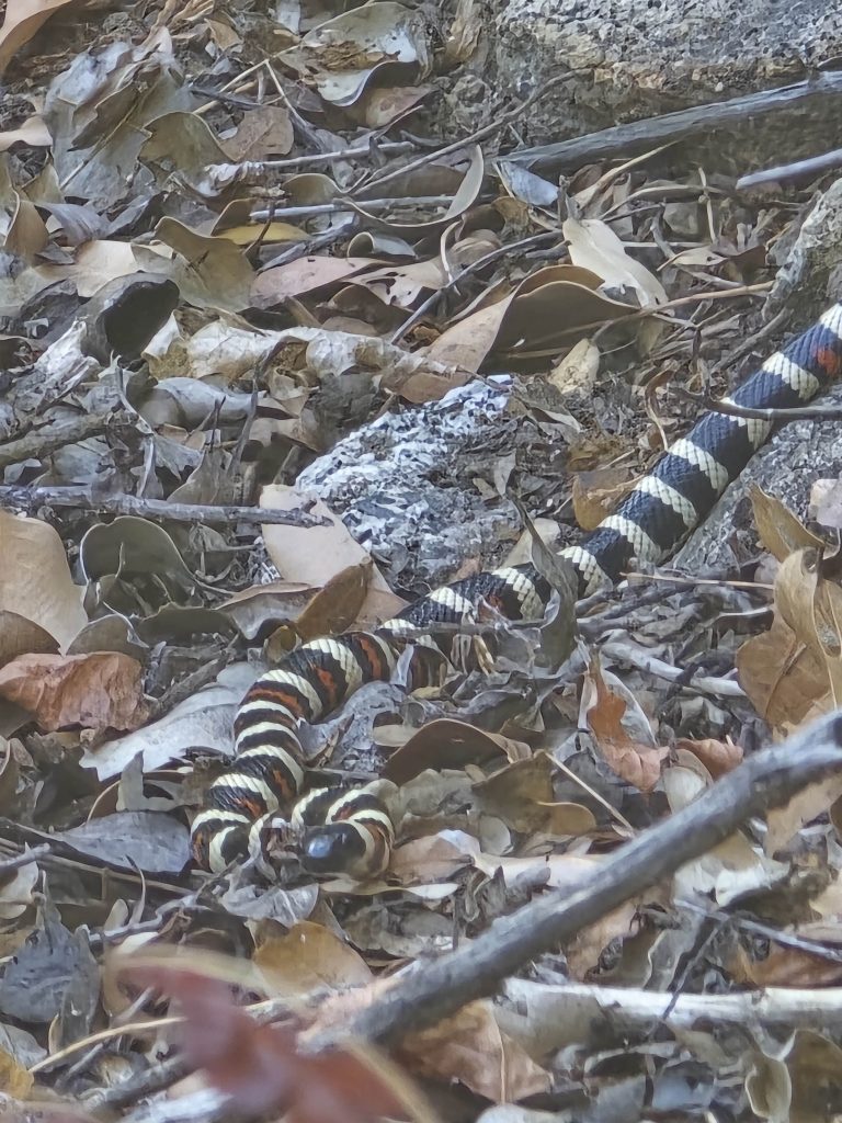
🤢 So gross!
This California kingsnake was probably three feet long. I have an admittedly irrational fear of snakes, but at least this one was off-trail, minding its own business. I waited nearby to point it out to my husband.
I can count on one hand the number of snakes we’ve seen while out on hikes, which I am grateful for. But I could have gone without that on this hike!
We made it safely back to the trailhead, famished, fatigued, and looking forward to returning home after a long hike and three-hour drive.
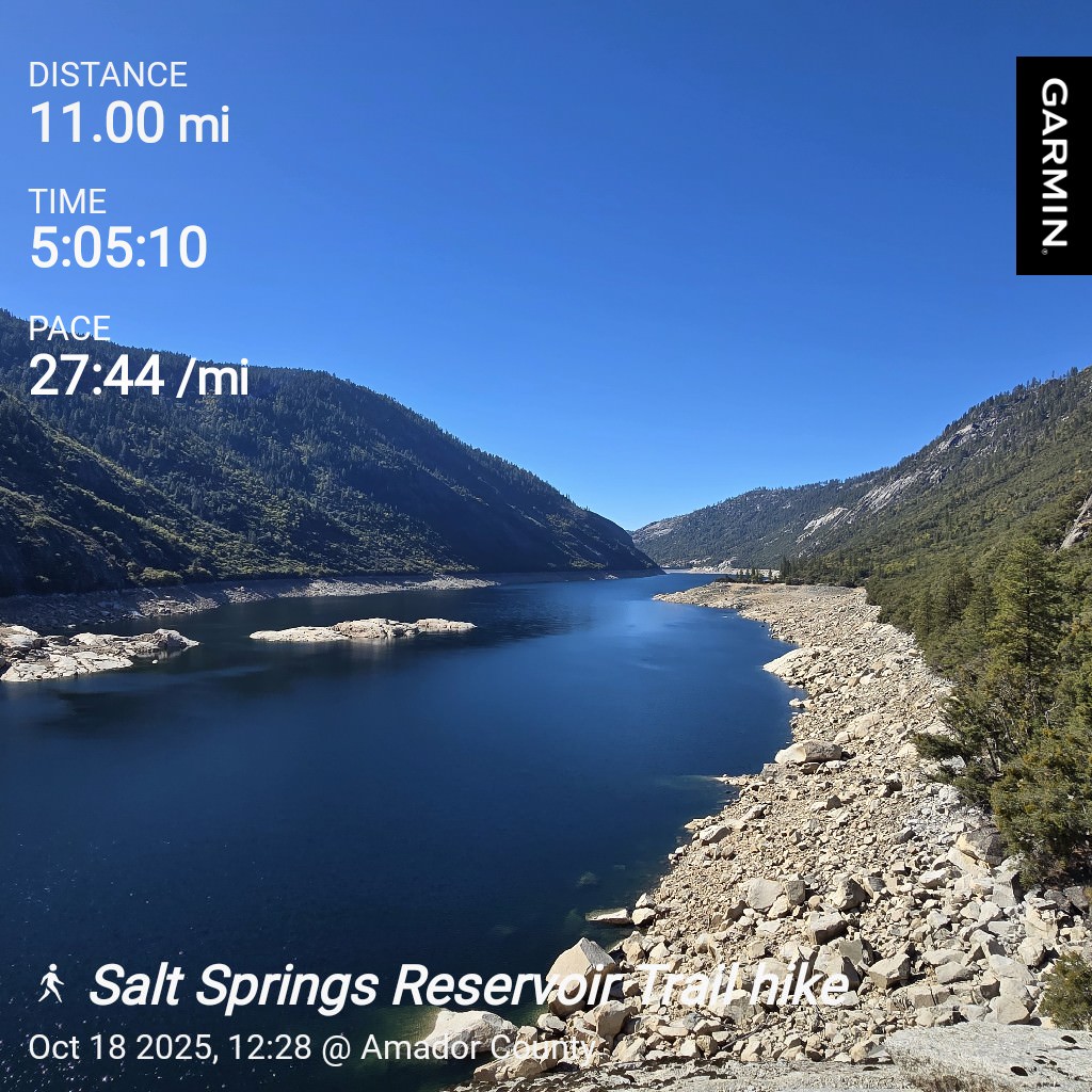
| Salt Springs Reservoir hike | |
|---|---|
| Total Distance | 11.00 mi |
| Total Time | 5:05:10 |
| Total Ascent | 1,644 ft |
| Max Elevation | 4,171 ft |
Leave a Reply