
Following our awesome Boulder Canyon hike while on our trip to Gold Canyon, Arizona, we returned to our vehicles at the Boulder Recreation Area and went back onto Apache Trail/Hwy 88, headed to Tortilla Ranch Trail, a desert Jeep/forest road.
History and Facts about the Apache Trail
One of the most adventurous and scenic routes in the American Southwest is the Apache Trail.
“The Apache Trail combines the grandeur of the Alps, the glory of the Rockies, the magnificence of the Grand Canyon and then adds an indefinable something that none of the others have; to me, it is most awe-inspiring and most sublimely beautiful.”
President Theodore Roosevelt
Tourists have been using the road since 1906, but the Apache Trail has served humanity for more than a millennium. Starting with the Salado (a prehistoric cultural group in the Tonto Basin of central Arizona), who used the trail to penetrate the Salt River Valley around 900 A.D., and the Native Americans who continued to use the trail as a migratory route between their winter homes in the desert lowlands and their summer homes in the mountains.
The road was originally developed to haul supplies and heavy machinery related to the construction of the Roosevelt Dam on the Salt River in 1905, with reportedly more than a million and a half pounds of freight moved over the road in its first month of operation.
Between 1903 and 1915, it was known as the Mesa-Roosevelt Road and Tonto Wagon Road (a stagecoach route), and was then renamed “Apache Trail” in 1915 by E.E. Watson at Southern Pacific Railroad. It wasn’t until 1987 that the Apache Trail was officially dedicated as Arizona’s first historic highway.
Firsts for the Apache Trail:
- June 10, 1905: The first Concord stagecoach made a run over the Mesa-Roosevelt Road.
- August 23, 1905: The first automobile traveled over the road from Mesa to Government Wells.
- October 10, 1905: The first so-called tourist group traveled over the Mesa-Roosevelt Road.
- November 23, 1905: The first major accident on the Mesa-Roosevelt Road occurred between Mormon Flat and Fish Creek Hill with a stagecoach.
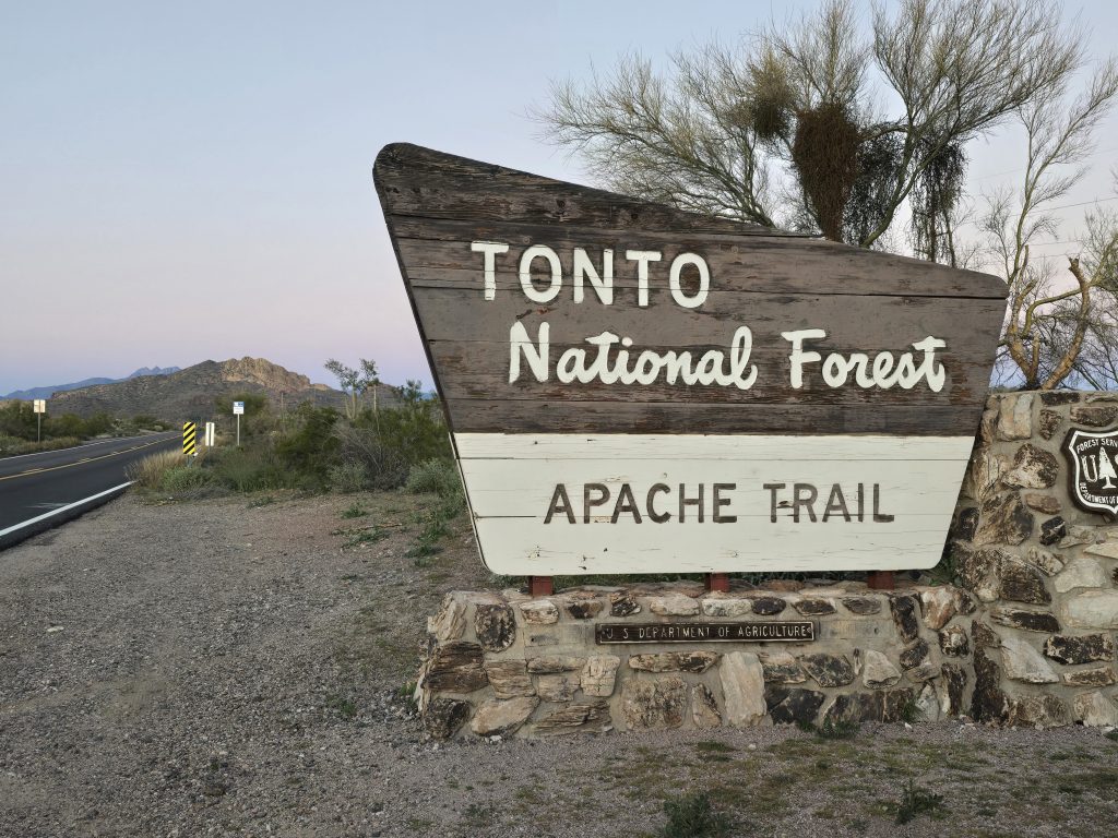
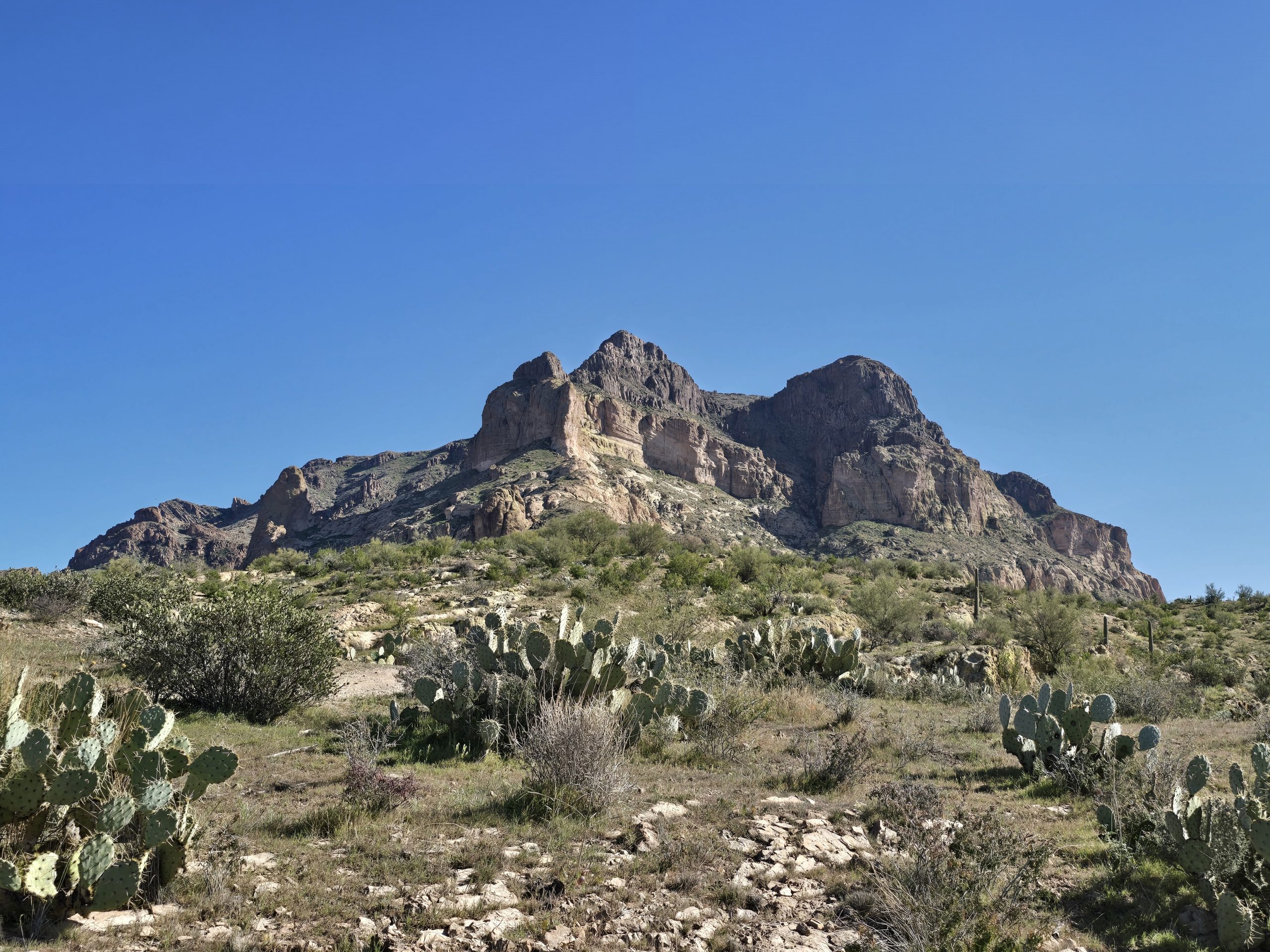
Today’s Apache Trail is a 42-mile scenic route – of which 22 miles is unpaved – that originates in Apache Junction, AZ, about 35 miles east of Phoenix.
Where the pavement ends: The Apache Trail transitions to an unpaved road.
Jeeping on Tortilla Ranch Trail
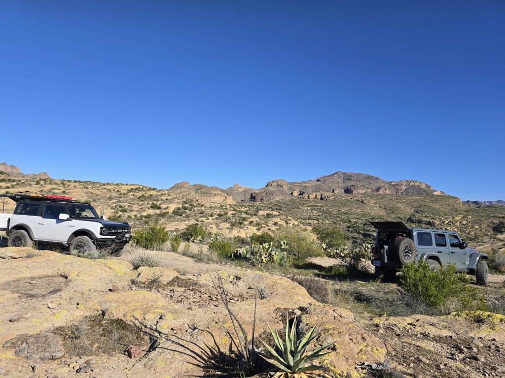
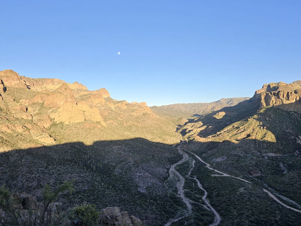
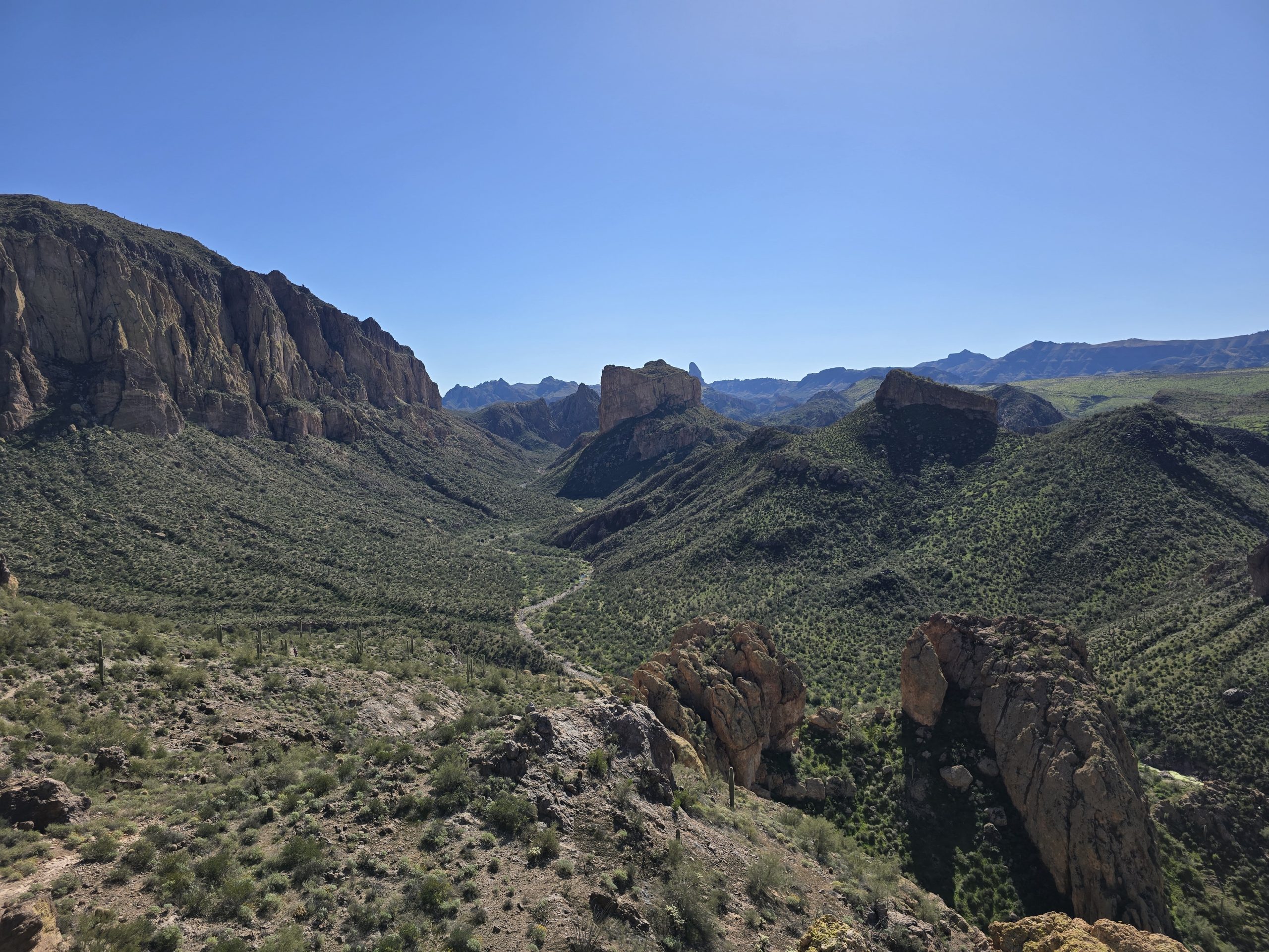
After a few miles of driving on the gravel section of the Apache Trail, we turned onto Tortilla Ranch Trail, a four-mile out-and-back route to an abandoned ranch in the middle of the desert. The terrain on Tortilla Ranch Trail is uneven, rutted dirt with loose rocks, sand, erosion, and washes with obstacles up to 2 feet, including ledges and short, steep grades. Translation: Parts of the trail are very bumpy and require high clearance. 😂
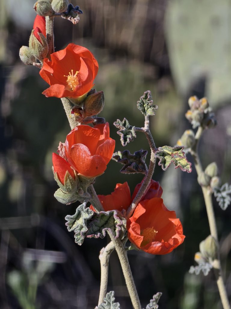
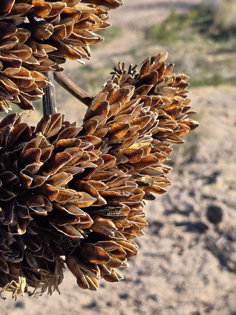
After navigating the trail’s biggest obstacles near the beginning of the route, we made a stop in a relatively flat area to enjoy a post-hike tailgate lunch before continuing to our turnaround point at the site of historic Tortilla Ranch. I also wandered around the desert plants.
Then, we were off again.
And back to the biggest obstacles near the start. They never look as dramatic in video as they are in person.
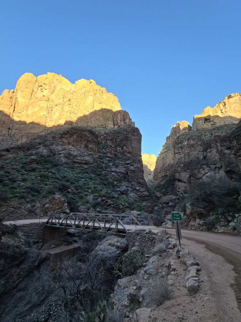
Fish Creek Bridge on the Apache Trail
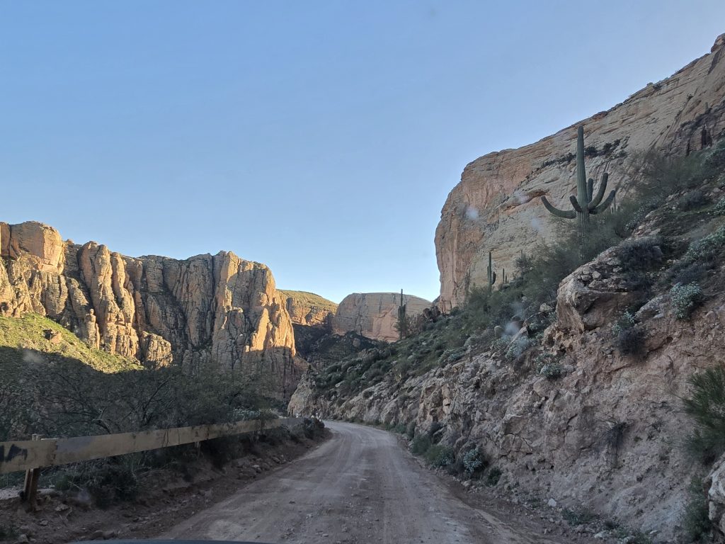
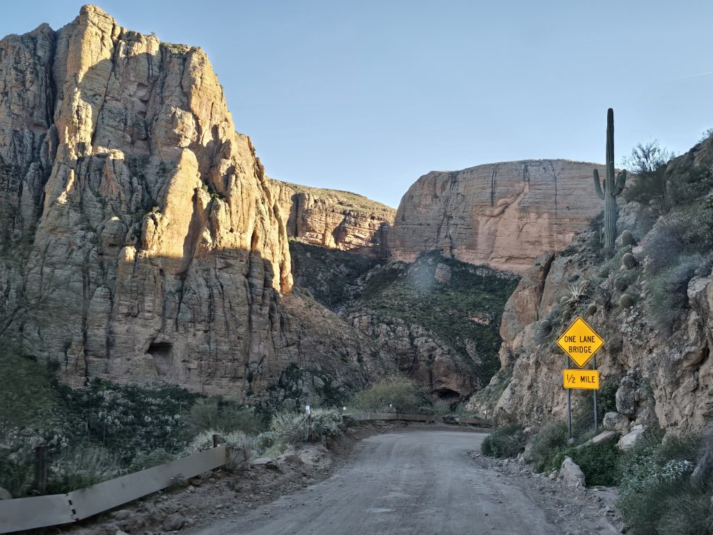
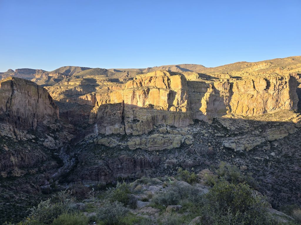
After returning to the Apache Trail, we continued east another 2.5 winding miles on the gravel of the notorious Fish Creek Hill that descends to historic Fish Creek Bridge. The scenery was beautiful (even through a buggy windshield), and the guardrails were scant.
Fish Creek Bridge and its surrounding canyon were picturesque. A group of enthusiastic 20-somethings was getting ready to hike into the canyon to camp overnight.
According to the Arizona Department of Transportation:
“This bridge owes its existence to construction of the nearby Mormon Flat Dam. In 1922, the Arizona Highway Department, ADOT’s predecessor, did extensive reconstruction of State Route 88 due to the dam’s construction. Part of that reconstruction was building five bridges, including the Fish Creek Bridge.
In 1923, bridge components were shipped by rail to Mesa from Kansas. Construction began in July 1923, the bridge was opened to traffic December of that same year, and has been carrying foot and vehicle traffic ever since.
This one-lane bridge with a concrete deck is an example of a very common bridge structure, the Warren pony truss. This type of bridge has a series of equilateral triangles that help distribute loads evenly across the structure.
Although Fish Creek Bridge is a rather common structural type found throughout Arizona, it’s one of the best-preserved examples of the Warren pony truss and has operated essentially unchanged for more than a century.”
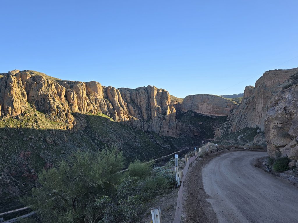
Once we reached the Fish Creek Bridge, we turned around and started heading back toward our basecamp in Gold Canyon, taking a few photos along the route as we climbed up Fish Creek Hill.
Views from Fish Creek Hill
Tortilla Flat to Apache Junction
On our return route, we briefly stopped in Tortilla Flat, AZ, population six, to explore this old stagecoach stop on the Apache Trail. We then drove to a very hopping Dutchman’s Country BBQ in Apache Junction, AZ, where we enjoyed a yummy dinner and live music to close out our busy day.
Leave a Reply