The hike to Mt. Rose is one of those “it’s in our backyard, so we kind of forget about it” hikes, plus, over the years we’ve lived in Tahoe, we’ve hiked to the top of Mt. Rose a few times – our first being in June 2015, back when we were barely hikers. 😂


In all, I believe this was my third time summiting Mt. Rose, and my husband’s fourth. But since we’ve hiked it multiple times already, it rarely makes the top of our list of hikes any given weekend. However, it is nearby, and with 10.5 miles and over 2,200 ft of elevation gain, it’s a solid challenge, so we continue to hike to Mt. Rose at 10,785 ft. every few years.
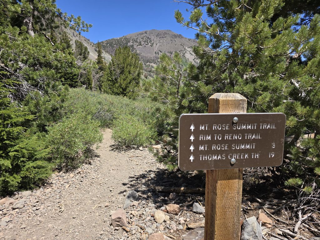
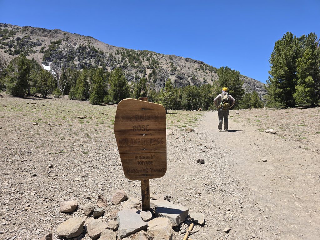
Trailhead to Hike to Mt. Rose
At the summit of Hwy 431/Mt. Rose Hwy is the trailhead to hike to Mt. Rose (within Mt. Rose Wilderness and Toiyabe National Forest), which is often where people also begin when hiking to destinations such as Galena Falls, Relay Peak, or Mt. Houghton.
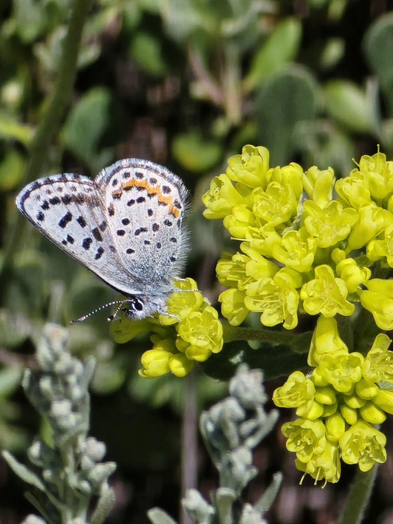
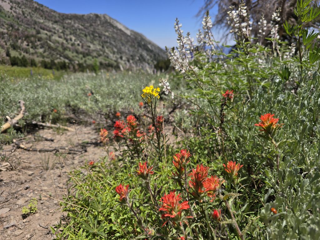
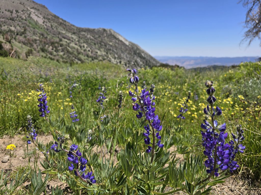
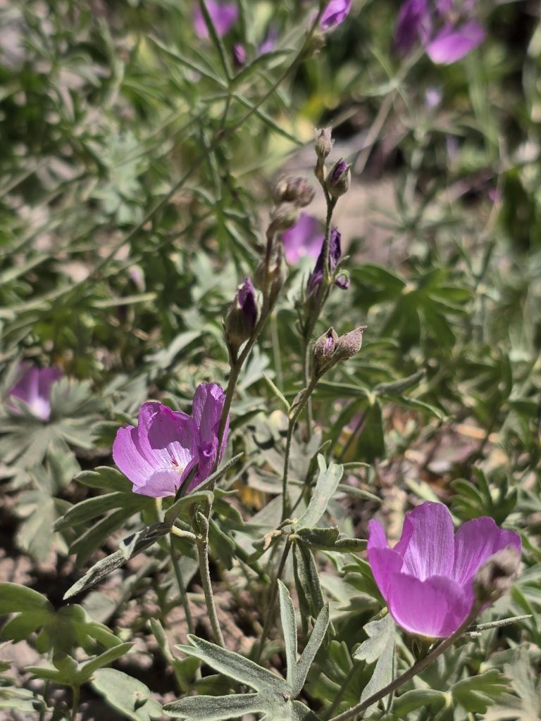
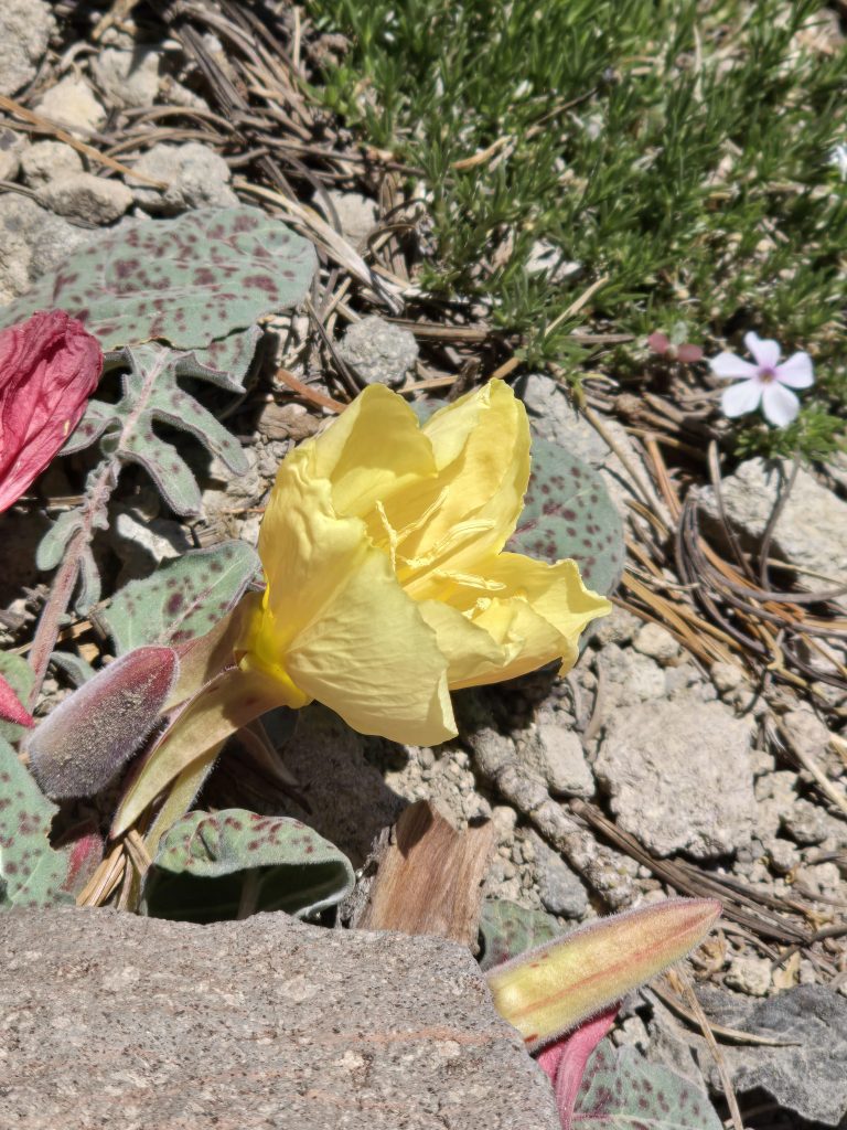
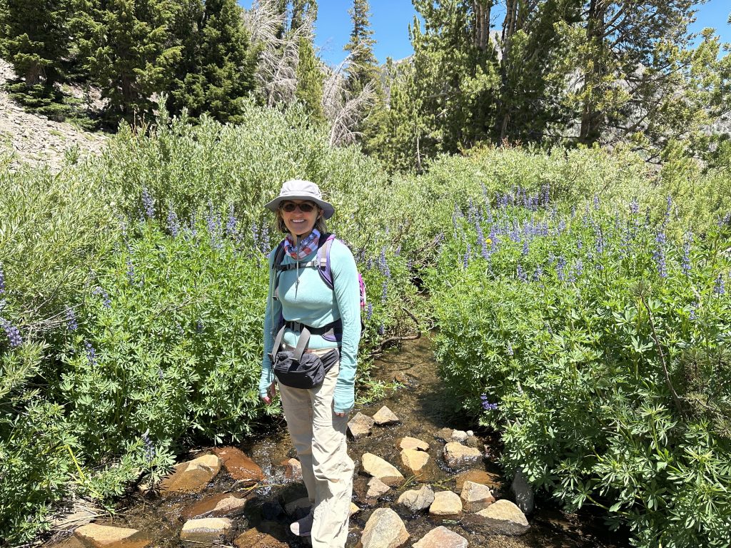
Wildflowers Along the Trail to Mt. Rose
July can be a great time to hike to Mt. Rose because it is common to see colorful wildflowers along the trail, throughout the meadow, and up the mountainsides. We were treated to lupine, Indian paintbrush, wild buckwheat, waxy checkerbloom, woodyfruit evening primrose, and spreading phlox, among other flowers.
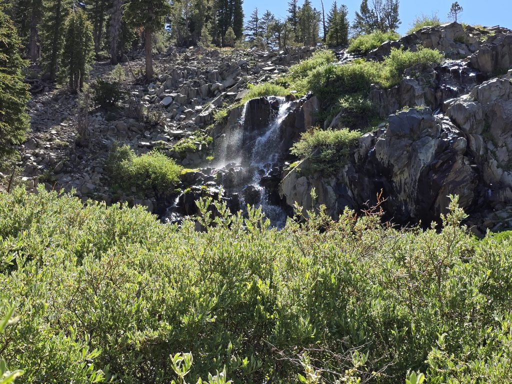
Galena Falls Along the Hike to Mt. Rose
The first 2.5-mile stretch of the trail to Mt. Rose is relatively tame and brings you to Galena Falls. Depending on the time of year and how much precipitation the region has received, there can be a lot of water flowing over the rocks or barely a trickle. Typically, the closer to snow melt season, the higher the volume of water. But we were focused on keeping pace and getting up to Mt. Rose, so we didn’t even stop at Galena Falls until our way back.
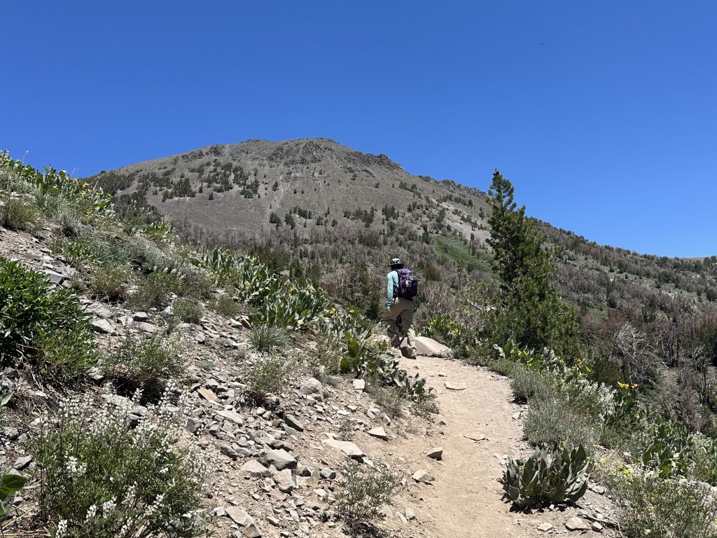
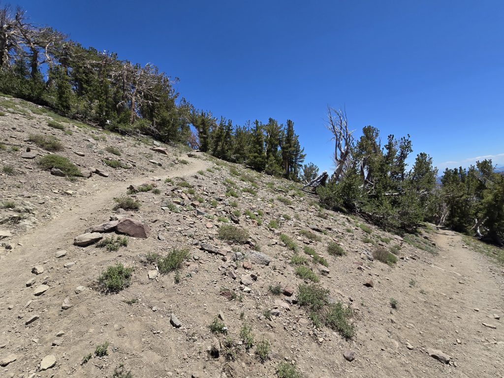
The Three-Mile Ascent to Mt. Rose
A short distance east of Galena Falls is where the trail starts to get steeper, rockier, and more demanding. In fact, it doesn’t really level out the rest of the way up to the summit, so it’s a bit of a three-mile grind.
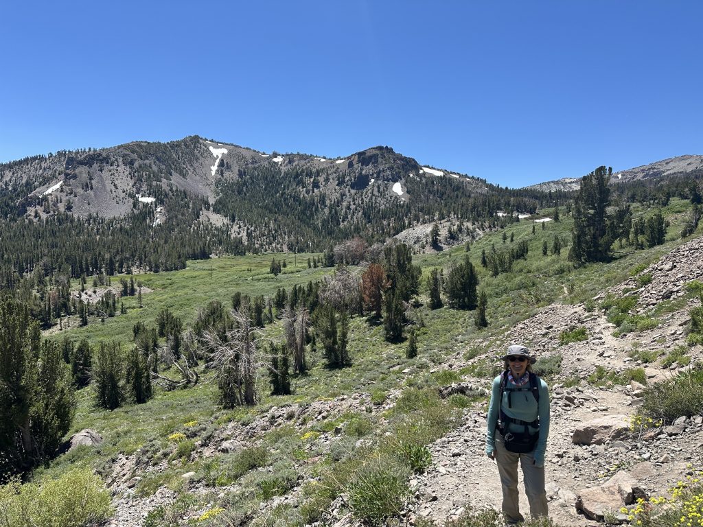
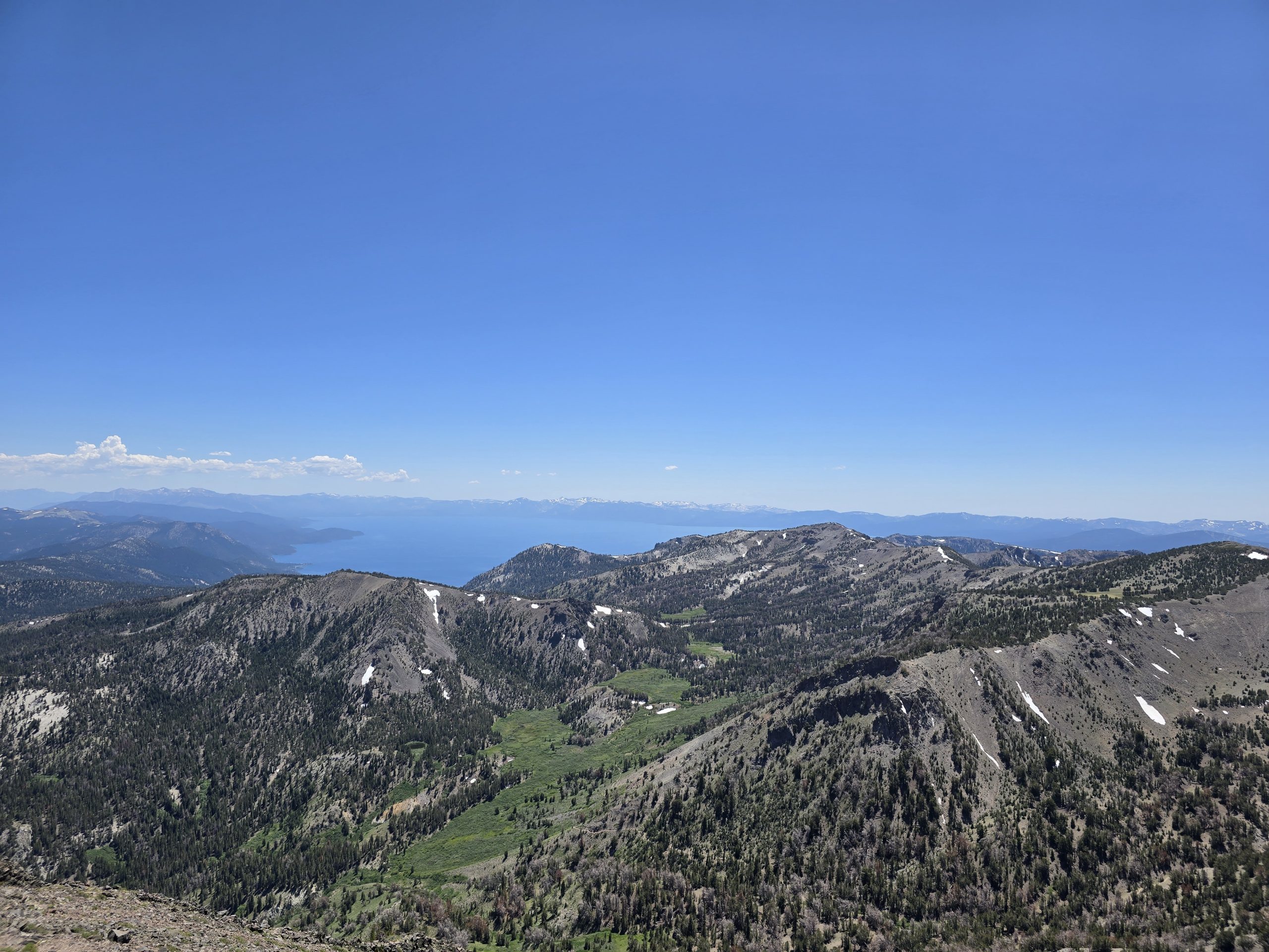
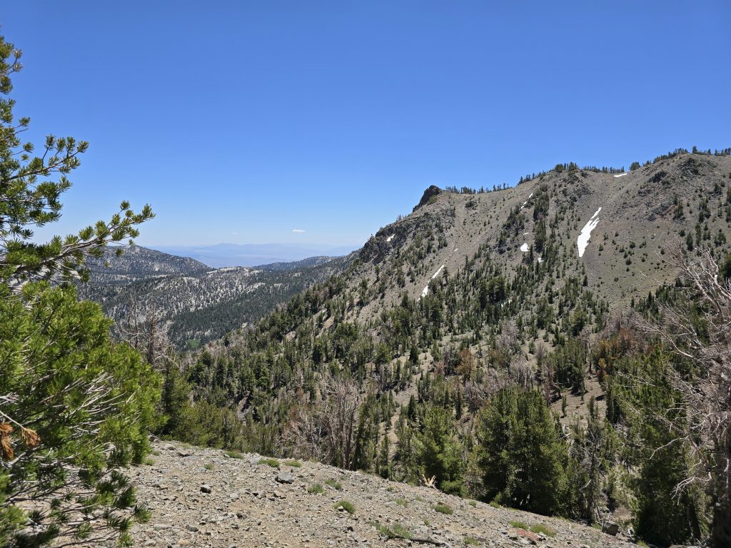
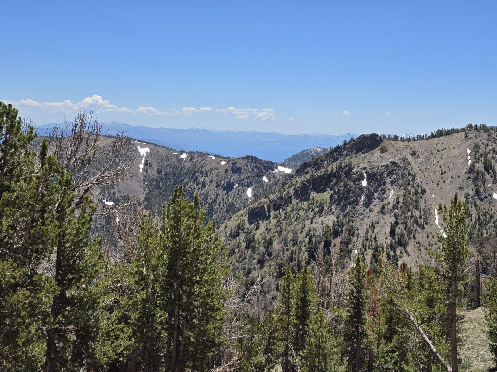
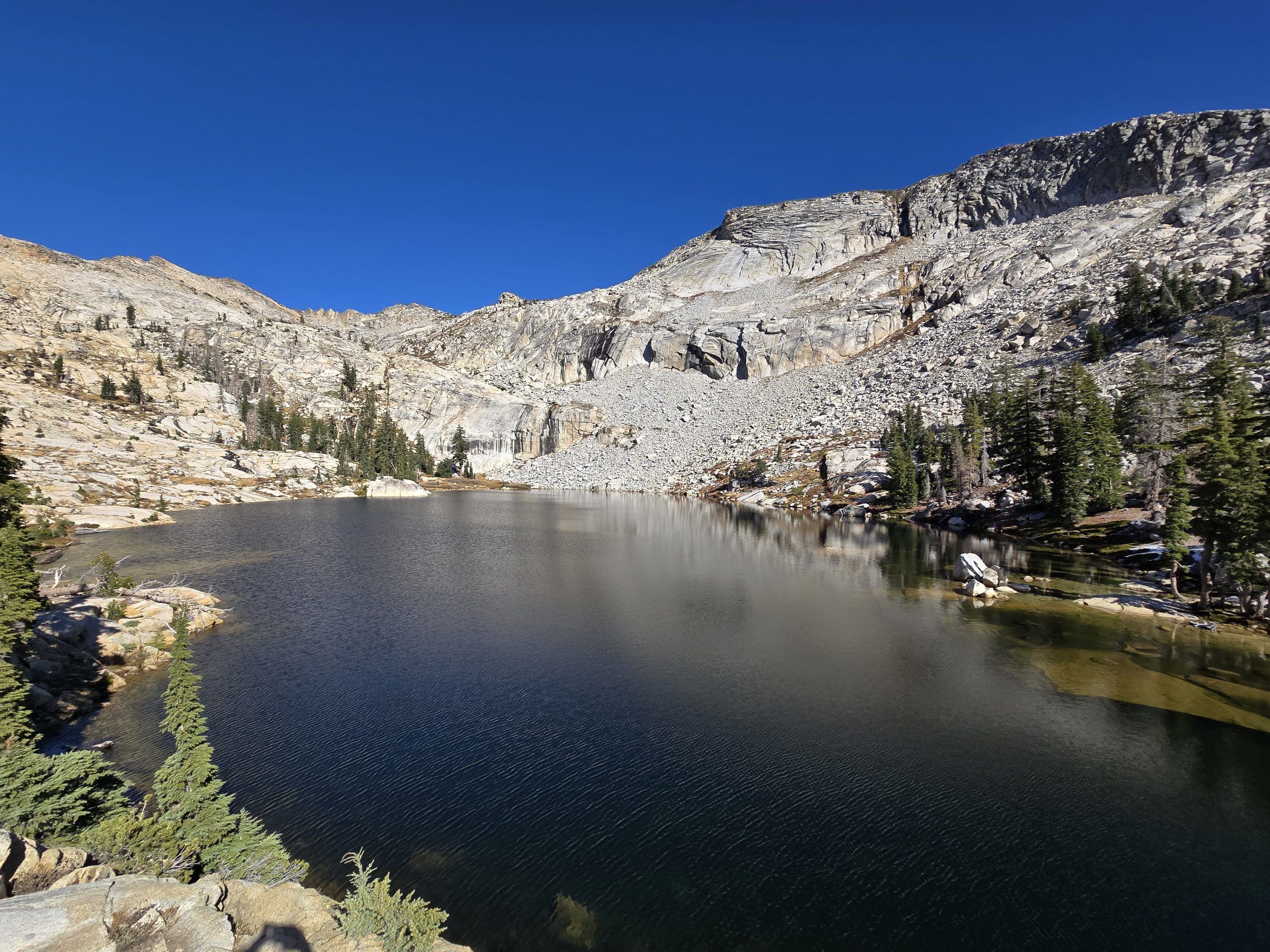
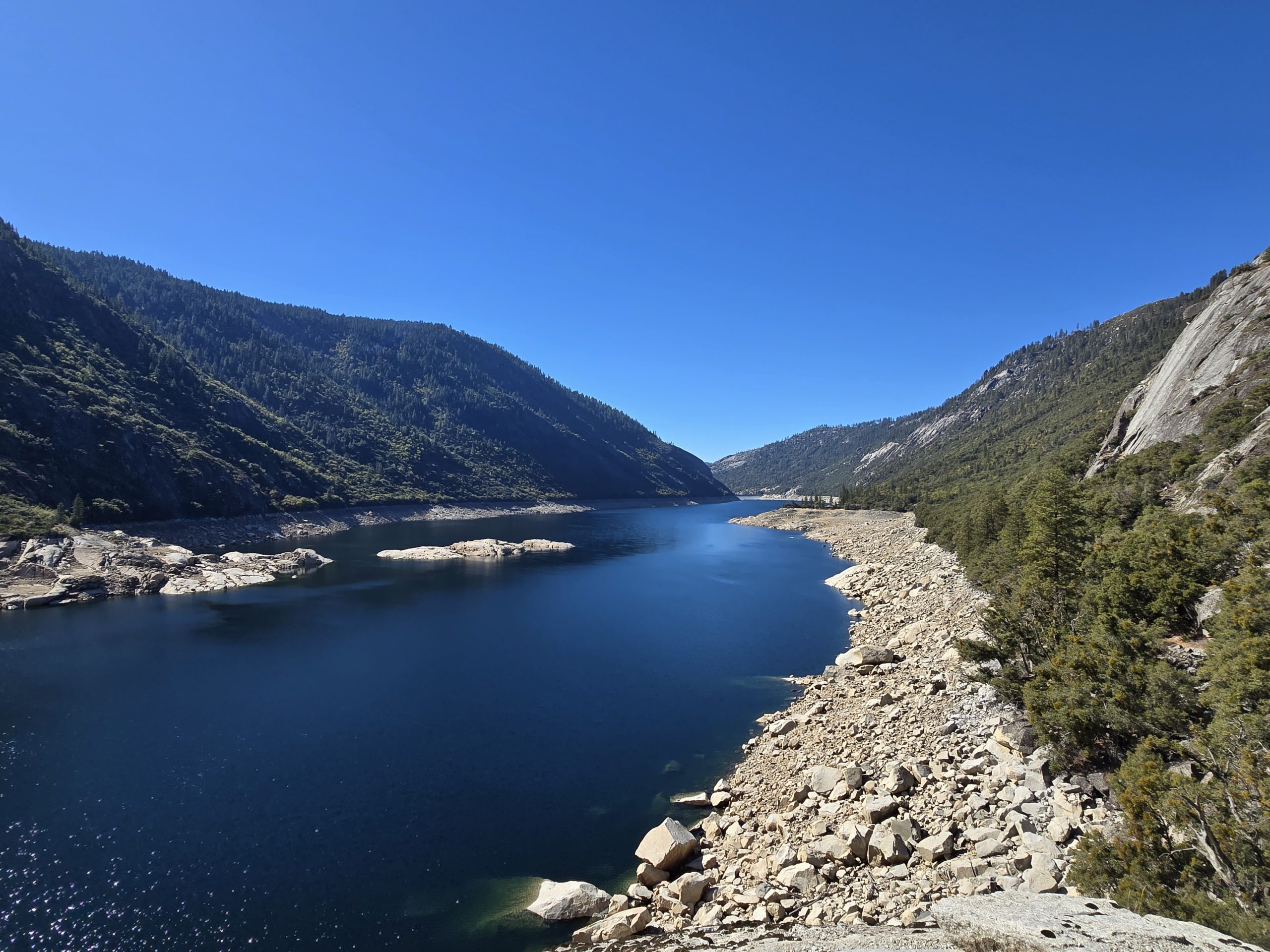
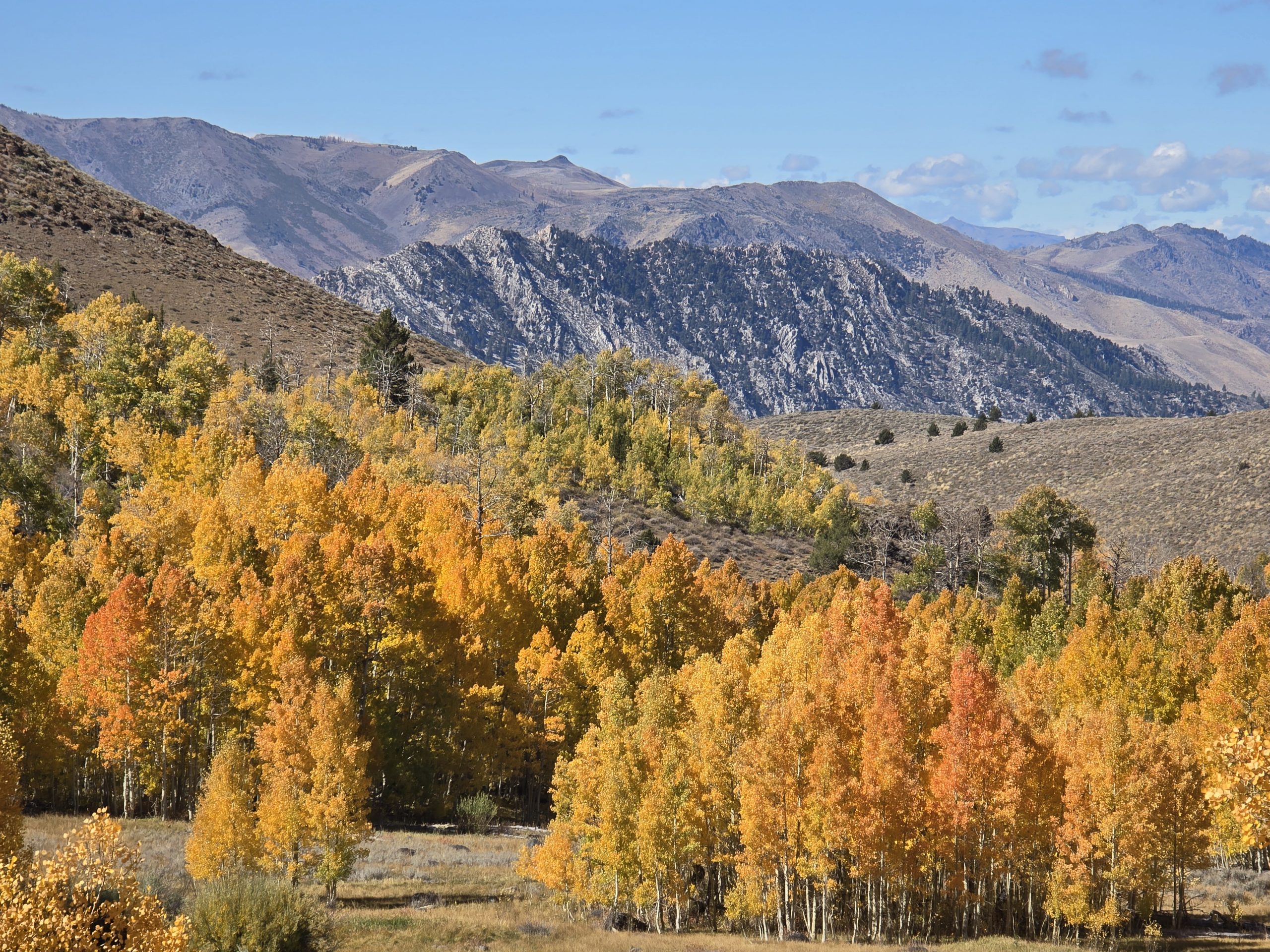
As we climbed higher, it was hard to ignore the vast panoramic beauty around us.
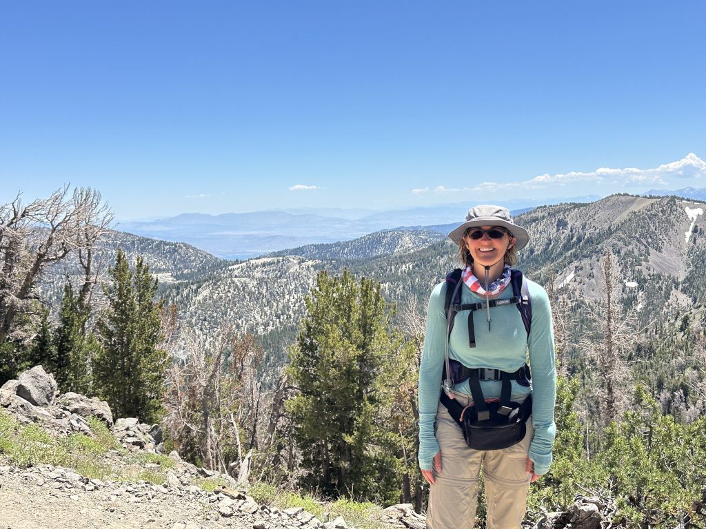

Arriving at Mt. Rose Summit
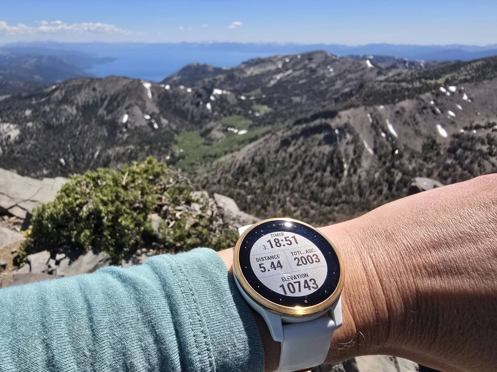
After 2,000 feet of uphill climb over steep, rocky terrain, we made it to the top of Mt. Rose, the highest peak in Washoe County, in a little over three hours and took in the massive views.
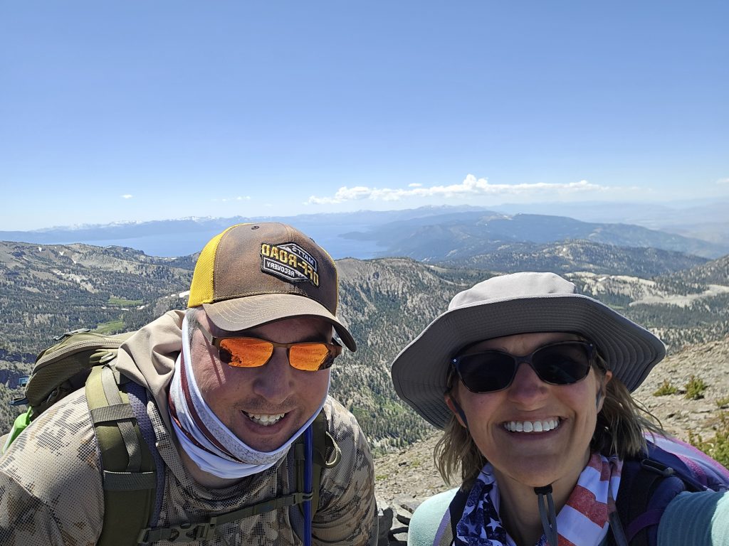

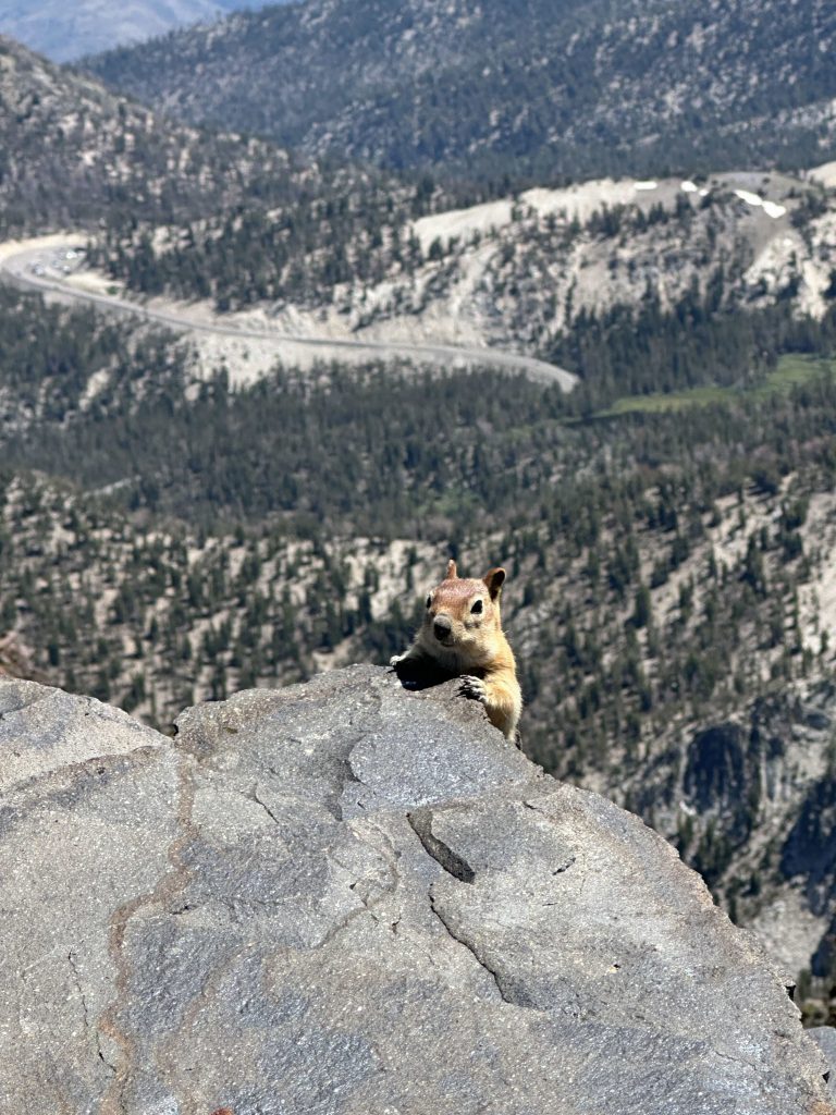
To refuel, we had a few snacks while sitting on a pile of rocks at the top, which always seems to attract a few friends.
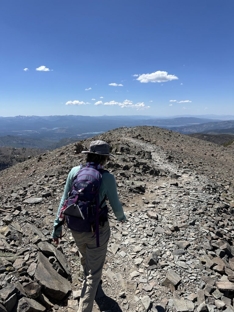
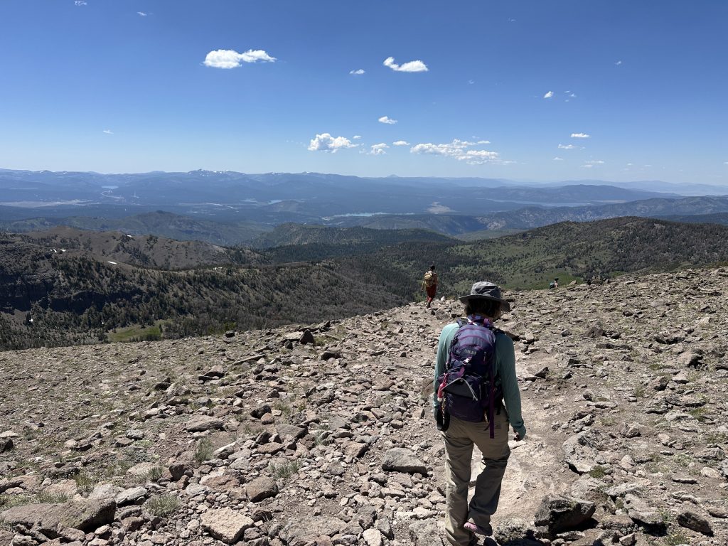
Descending from Mt. Rose Summit
Then, it was time to start our steep, rocky descent.
On the way down, I did stop for a brief photo of Galena Falls from the trail.
After a little over five hours and 10.57 miles, we made it back to the trailhead, our legs fatigued and welcoming the reprieve!
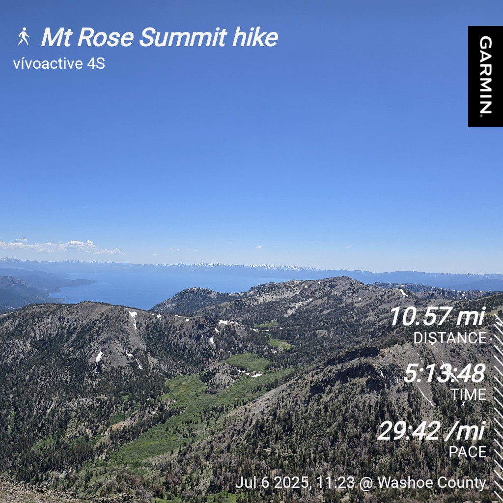
| Mt. Rose Summit hike | |
|---|---|
| Total Distance | 10.57 mi |
| Total Time | 5:13:48 |
| Total Ascent | 2,234 ft |
| Max Elevation | 10,750 ft |
Leave a Reply