
Jump to:
On the second day of our Olympic National Park trip in the Pacific Northwest (PNW), we were off to see more waterfalls and take a hike out to the ocean. (This Olympic National Park Waterfalls resource compiles a solid list of falls in the area.)
Beaver Falls
Heading northeast on Hwy 101 out of our basecamp in Forks, WA, we turned north onto 113, looking for Beaver Falls. We did not see any signs or really obvious indications of where to find Beaver Falls or the trailhead.
Pulling off the road onto a small gravel turnout area along a guardrail, we decided to get out and walk around to see if we could spot the trail. Behind the guardrail, we found our way down a very short, narrow, steep, fern-lined trail with tree roots as makeshift stairs descending to Beaver Creek where we could already hear the falls.

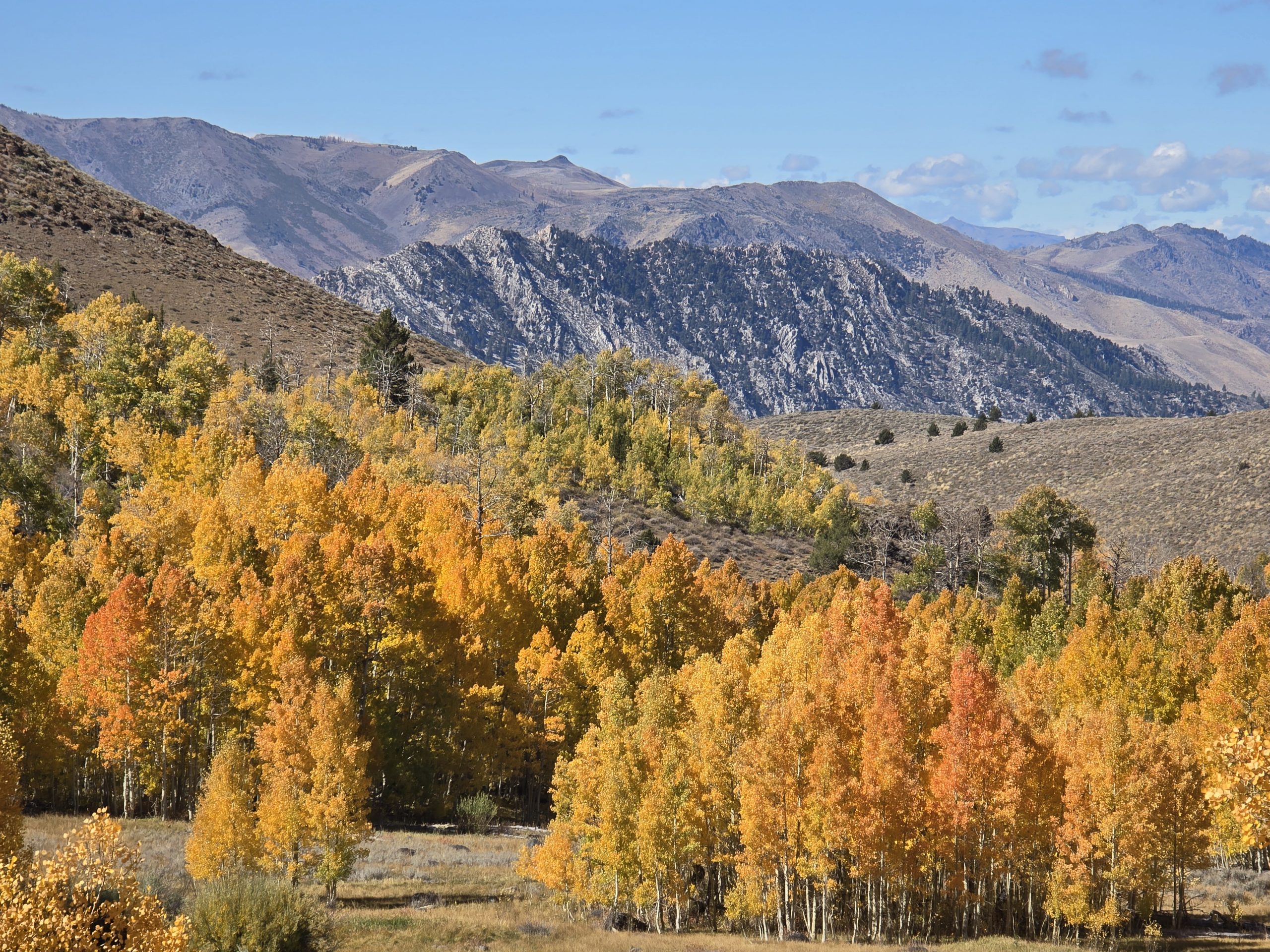
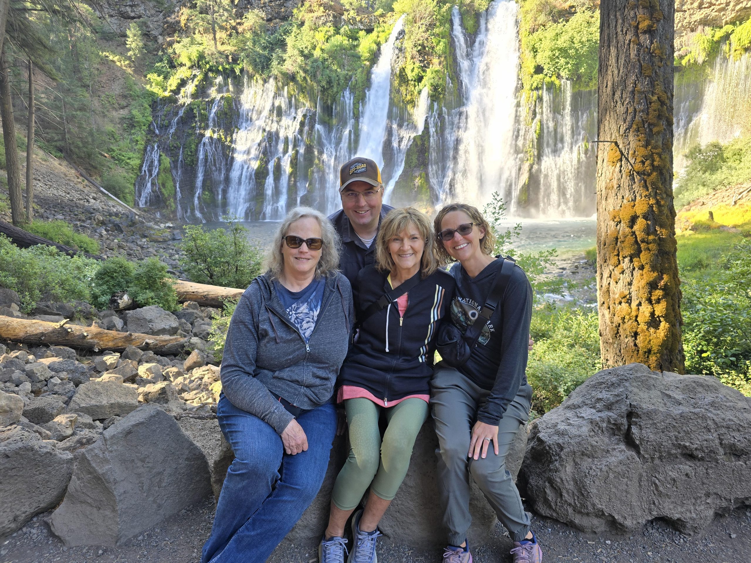
Beaver Falls actually reminded me a little bit of a smaller version of Burney Falls in northern California.
Hoko Falls
Our next stop was Hoko Falls, which was about a 40-minute drive. This one was even harder to find than Beaver Falls. In fact, we drove around quite a bit, looking at the map, looking out the windows for some semblance of a trail or trailhead. Eventually, we decided to park off the roadway and explore on foot.
We could see the Hoko River down below, but were unsure 1) how to get down to it safely, and 2) where exactly Hoko Falls was in relation to where we were. So, our group split up, each going a different direction to see if we could figure it out. Based on the map, we were confident we were in the vicinity of the falls, but we couldn’t find a trail leading down to the river canyon.
Finally, at a particular spot in the ditch along the road, there were some tire tracks in the mud, so I just decided to head that direction, through the trees, down a steep embankment to see where it led. I called over the rest of our group and just warned them that I wasn’t sure, but it seemed like this could get us down to the river. We still didn’t know where the falls were, but we followed it down – it was steep and slippery – and got to the rocky edge of the rushing river.
We think 😂 this is what is known as Hoko Falls.
But even more unique and impressive to me was the fern- and moss-covered rock wall canyon down the river with the clear, blue-green water.
Cape Flattery Trail
Then we drove about an hour toward the Pacific Coast to Neah Bay, WA, where it was lightly raining, to walk the Cape Flattery Trail out to the coastal overlooks.
Cape Flattery is the northwestern-most point of the contiguous United States. The less than 1.5-mile roundtrip trail is an easy trek, winding through thick bushes and forest, and is comprised of numerous wooden boardwalks, stairs, and dirt sections, offering multiple viewpoints of the Pacific Ocean coastline, rocky cliffs, caves, and sea stacks. Oh, and if you’re as lucky as we were on this day, you might see orcas (killer whales) and seals.


We stopped to see several coastline viewpoints of the Pacific Ocean.


Then we reached one of the observation decks near the end of the trail and took in this view.

Spotting Orcas & Seals from Cape Flattery
Extending a little farther out toward the ocean was the last observation point at the end of the Cape Flattery Trail. A few other people were there when we arrived. Two of the women were pointing out into the ocean and alerted us that orcas were swimming out near that rock. I couldn’t believe what luck we had, being there to see them.
And, yes, those are seals lying on top of that rock.
The women explained that they had recently taken a whale-watching boat tour, so they knew what to look for when spotting them in the ocean. I was just so grateful they told us about them and that the whales were close enough to the shore so we could easily see them.

So, seeing orcas swimming in the ocean was undoubtedly a highlight of this trip, but at this point, we were really only on Day 2. Still thrilled by our good luck, we hiked back out, got in our vehicle, and continued on with our itinerary.
By this time, we were all pretty hungry for lunch, so we stopped at a roadside park along the ocean and enjoyed our PB&J sandwiches (with Shannon’s homemade jam) before heading back out.
One of the original destinations on our list for the day was Ozette Triangle, but (surprise!) we ran into some roadblocks. Let’s just say, we ended up not being able to find the actual road to take us there, so after reviewing the map once again, we tried our luck on some kind of nearby forest road, hoping it would lead us there as the map seemed to suggest.


After driving several miles down this forest road, we came to a dead stop at a locked gate and had to turn around.
Shi Shi Beach to Point of Arches
Given the time we’d already taken up on attempting to get to Ozette Triangle, we decided to pass on that destination and head over to Shi Shi Beach for another hike out to Point of Arches before it got too late in the day.


It rained pretty much the entire time we were hiking through the forest on Shi Shi Trail. Sections of the trail had uneven boardwalks, which were slippery and saturated, but better than slogging through mud.
The sections of the trail that were dirt were pure mud, with some sections even having several inches of standing water on top of the mud (I know this because I stepped in and didn’t realize how deep it would be). It was a good thing I wore my waterproof hiking boots on this hike.
Many times, we had to detour on higher ground to avoid a particularly swampy section, and even then, our feet searched for (slippery) logs or tree roots or patches of grass to step on and avoid complete submersion – that is, if you could manage to keep your balance. I announced out loud that if I completed this hike without slipping and falling in the mud, that would be a major victory. The mere thought made me wonder if I’d already jinxed myself.
Hiking on Shi Shi Beach
After hiking in varying volumes of rain, we abruptly descended on the trail to the shoreline and continued our wet hike on the beach. I may have mentioned this once or twice before, but I do not enjoy hiking in sand, or snow, or mud, or anything that slows me down. And we had a couple of miles ahead of us on the beach.
Once we reached the beach, we battled constant wind and continual rain in combination with water spray from the ocean. Surprisingly, I stayed fairly comfortable in my merino wool sweater and rain jacket in spite of the weather conditions. My hiking pants were soaked and plastered to my legs against the wind, but they somehow dried relatively quickly.

Along our soggy stroll on Shi Shi Beach, we saw two seals swimming in the waves.

It kind of felt like we were walking forever in the sand, but it was fun to be close to the ocean. We could see our destination in the distance the entire time, but it seemed like an endless walk to get there.


Sea Life at Point of Arches
Excited to finally arrive at the jagged sea stacks at Point of Arches, we were equally excited to have our first (unexpected) exposure to tide pools filled with sea anemones and even a few scurrying hermit crabs.

After wandering around, exploring, and trying not to submerge our feet, my husband spotted something bright orange on a rock in the distance. I was able to zoom in and confirm that it was a starfish! Our first one spotted on this trip. In truth, these rocks in the distance had multiple starfish on them, but they blended in more than the bright orange one.

Then, it was time to start the looooooong trek back along the beach up to the trail through the woods.

On our way up the steep stairs up to the trail, we spotted our first banana slug of the trip.

Still raining, we navigated back through the mud and muck, around the trees and standing water. Me, still thankful to have not slipped and fallen on this trail. And despite the unrelenting wet conditions, my feet stayed dry in my hiking boots. Although, I was starting to develop blisters on my pinkie toes by this point, as I rarely wear these boots, but I think they were the right footwear choice for this hike.
We were all starting to get pretty hungry after our day of adventures, so we started looking up nearby restaurants, or something along the 1-hour and 20-minute route back to our basecamp in Forks. The trouble was, there weren’t many options, and what was around would be closed for the night by the time we got there.
Desperately out of options and getting hangry, we ended up stopping at a gas station/convenience store, looking around for a bit, ultimately grabbing some questionable counter-service food there, and hitting the road. Honestly, at that time of night, I was a little concerned about the quality and the health/safety of the food I ordered, which had probably been sitting out all day long. Let’s just say, I said a little prayer before I went to bed, guarding against any food-borne illnesses as a result of eating that food. Thank God nothing came about.
So, it was another fantastic day of adventures in Olympic National Park, and we were tired and looking forward to the next day’s plans for yet more hikes to waterfalls.
Leave a Reply